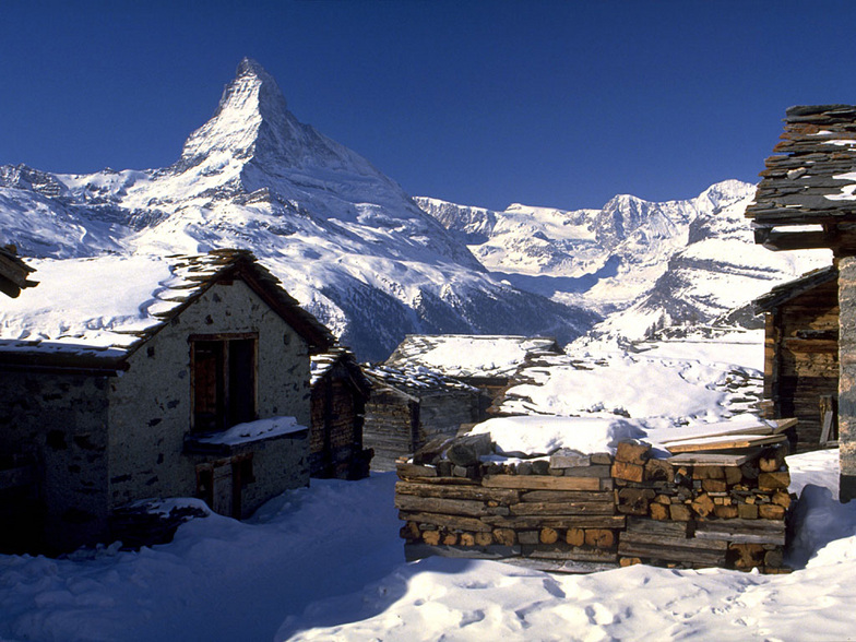


Portillo Storm Snowfall Total Passes 5m / 17 Feet
A snow storm that has now continued for nine days has taken Chilean ski resort Portillo to a snowfall total of 5.2 metres (17 feet) so far, with more snow forecast.

Next 3 days weather summary:Lluvia ligera (totál 2.0mm), cayendo mayormente el miércoles por la noche. Cálido (max 28°C el jueves por la tarde, min 15°C el martes por la mañana). El viento será generalmente ligero. | Días 4-6 Resúmen del Tiempo para St Johann in TirolFuerte lluvia (totál 44.0mm), más pesada durante la noche de sábado. Cálido (max 28°C el viernes por la tarde, min 17°C el sábado por la noche). El viento será generalmente ligero. | |||||||||||||||||
martes 28 | miércoles 29 | jueves 30 | viernes 31 | sábado 1 | domingo 2 | |||||||||||||
mañana | tarde | noche | mañana | tarde | noche | mañana | tarde | noche | mañana | tarde | noche | mañana | tarde | noche | mañana | tarde | noche | |
claro | claro | claro | claro | semi nublado | chuba scos | claro | claro | claro | claro | chuba scos | chuba scos | semi nublado | semi nublado | fuerte lluvia | semi nublado | semi nublado | chuba scos | |
km/h | ||||||||||||||||||
Mapa de Nieve |  |  |  |  |  |  | ||||||||||||
— | — | — | — | — | — | — | — | — | — | — | — | — | — | — | — | — | — | |
mm | — | — | — | — | — | 2 | — | — | — | — | 1 | 1 | — | — | 41 | — | — | 1 |
max °C | 18 | 22 | 20 | 23 | 26 | 22 | 25 | 28 | 26 | 26 | 28 | 23 | 25 | 28 | 20 | 23 | 27 | 22 |
min °C | 15 | 21 | 18 | 20 | 25 | 21 | 23 | 27 | 23 | 24 | 23 | 18 | 22 | 25 | 17 | 21 | 25 | 20 |
chill °C | 15 | 21 | 18 | 20 | 25 | 21 | 23 | 27 | 23 | 24 | 23 | 18 | 22 | 25 | 17 | 21 | 25 | 20 |
Humed. % | 67 | 49 | 73 | 56 | 44 | 55 | 36 | 26 | 40 | 36 | 48 | 70 | 41 | 49 | 61 | 47 | 40 | 46 |
Altura de Hielo m | 4250 | 4550 | 4550 | 4350 | 4350 | 4350 | 4300 | 4550 | 4600 | 4600 | 4600 | 4600 | 4600 | 4550 | 4500 | 4500 | 4600 | 4600 |
5:41 | — | — | 5:43 | — | — | 5:43 | — | — | 5:45 | — | — | 5:47 | — | — | 5:48 | — | — | |
— | — | 8:50 | — | — | 8:49 | — | — | 8:47 | — | — | 8:45 | — | — | 8:45 | — | — | 8:44 | |
Hazte pro y carve en:
Información de avalanchas: European Avalanche Warning Services (EAWS)
Ultimo parte de nieve cerca St Johann in Tirol:
| Profundidad de nieve arriba: | 0 cm |
|---|---|
| Profundidad de nieve abajo: | 0 cm |
| Profundidad de la nevada fresca: | — |
| Última nevada: | 16 May 2026 |
0.0 | Dias de Nieve en Polvo Nieve fresca, mayormente soleado, viento suave. |
|---|---|
0.0 | Dias de nieve en polvo Nieve fresca, sol limitado, sin viento. |
0.0 | Dia perfecto para esquiar Nieve promedio, mayormente soleado, viento suave. |
La tabla anterior muestra el pronóstico de tiempo para St Johann in Tirol en la altitud específica de 1185 m. Nuestros modelos meteorológicos sofisticados permiten prever pronósticos para la cumbre, la mitad y la base de St Johann in Tirol. Para aceder a los pronósticos de tiempo a otras alturas, pinche en la navegación en la parte superior de la tabla. Para una visión general, consulte el Mapa meteorológico de Austria.
Pinche aquí para más información sobre niveles de congelación y sobre cómo pronosticamos las temperaturas.
Generalmente 4.3 En base a 21 votos y 15 comentarios
The new investments in the Eichenhof area of St Johann has transformed it. A few years ago there were only T-bars and no snow making equipment. Now there is a new gondola, a new heated chair-lift, and snow making equipment everywhere. In addition to that we have the most pre-Christmas snow I've seen in many a year.
John Barr de Austria escribe:
The new investments in the Eichenhof area of St Johann has transformed it. A few years ago there were only T-bars and no snow making equipment. Now there is a new gondola, a new heated chair-lift, and snow making equipment everywhere. In addition to that we have the most pre-Christmas snow I've seen in many a year.
Lea 14 otras críticas de St Johann in Tirol o entrega su propio comentario


 Nearest