Previsión meteorológica para Jay Peak en1209m altitud
Emitido: 1 am 31 Jul 2026 (hora local)
Previsión de nieve actualizada en hora Min
View forecast
Jay Peakat 1209 m altitud
Emitido por Snow-Forescast.com a:1 am (hora local) / 31 Jul 2026
Últimos 6 díasDesplázate a la izquierda para los últimos 6 díasAhora
Next 3 days weather summary:
Lluvia moderada (totál 11.0mm), más pesada el domingo por la tarde. Muy templado (max 18°C el sábado por la tarde, min 13°C el viernes por la mañana). Vientos crecientes (calma el sábado por la mañana, vientos fuertes desde el SO por la noche de domingo).
Días 4-6 Resúmen del Tiempo para Jay Peak
Lluvia moderada (totál 13.0mm), más pesada el lunes por la tarde. Cálido (max 20°C el miércoles por la tarde, min 13°C el lunes por la noche). Vientos decreciente (casi tempestad desde el SO el lunes por la mañana, calma por la noche de martes).
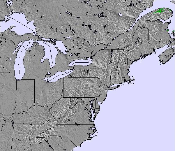
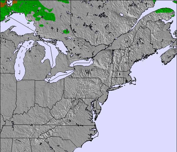
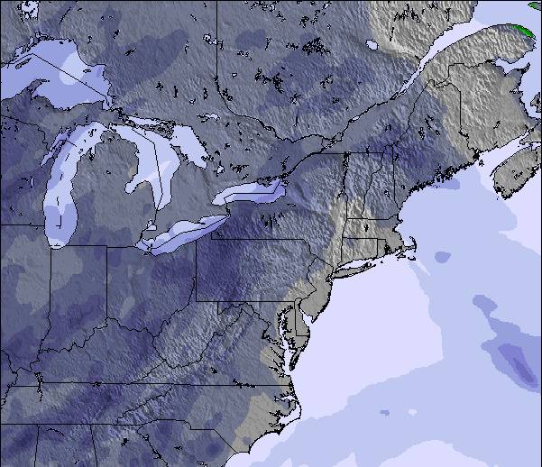
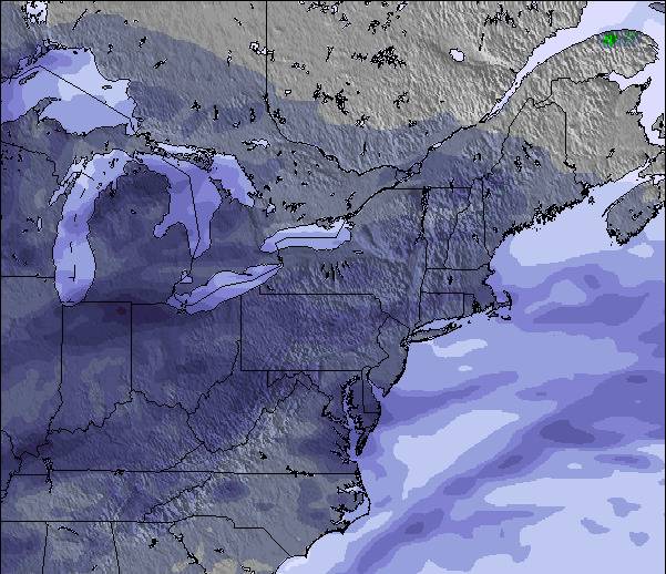
La tabla anterior muestra el pronóstico de tiempo para Jay Peak en la altitud específica de 1209 m. Nuestros modelos meteorológicos sofisticados permiten prever pronósticos para la cumbre, la mitad y la base de Jay Peak. Para aceder a los pronósticos de tiempo a otras alturas, pinche en la navegación en la parte superior de la tabla. Para una visión general, consulte el Mapa meteorológico de United States.
Pinche aquí para más información sobre niveles de congelación y sobre cómo pronosticamos las temperaturas.
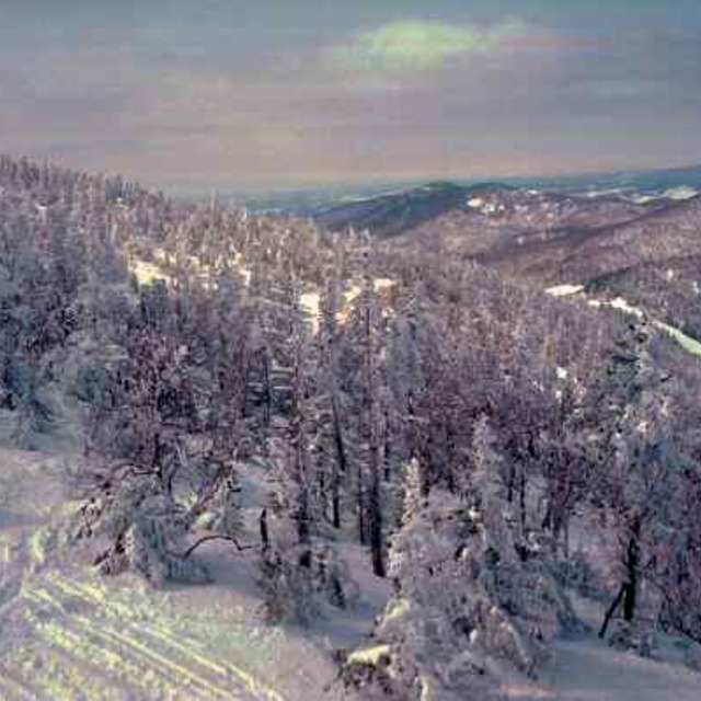
Comentarios de Visitantes para Jay Peak
Generalmente 3.8 En base a 23 votos y 9 comentarios
I have been skiing 30 plus years and I have skied all over the USA and Canada East to West. Jay peak is in a league of its own for snow quality and quantity compared to any other eastern ski resort. I have had just as many powder days at Jay peak as I have had at SnowMass or Alta. The difference with those places is they are way bigger, so less tracked up and snow stays for days and weeks as powder due to elevation. With Jay you have to plan around the weather and when it dumps stay there a few days, it won’t disappoint. It’s honestly as gnarly as it gets.
Generalmente: 3.8 En base a 23 votos y 9 comentarios
Nieve segura
4.1
Variedad de pistas
4.3
Fuera de pista
4.6
Escenografía
3.9
Después del esquí
3.6
Chris Marciano de United States escribe:
I have been skiing 30 plus years and I have skied all over the USA and Canada East to West. Jay peak is in a league of its own for snow quality and quantity compared to any other eastern ski resort. I have had just as many powder days at Jay peak as I have had at SnowMass or Alta. The difference with those places is they are way bigger, so less tracked up and snow stays for days and weeks as powder due to elevation. With Jay you have to plan around the weather and when it dumps stay there a few days, it won’t disappoint. It’s honestly as gnarly as it gets.
Gratis Snow-Forecast.com Widget del Tiempo para su sitio web
El widget del tiempo para esquiar para Jay Peak está disponible para ser empotrado en sitios web externos sin costo alguno. Proporciona un resumen diario de nuestro pronóstico de nieve en Jay Peak y estados de tiempo actuales. Vaya simplemente a la página para su configuración y siga los 3 pasos sencillos. Tome el código de transferencia del hipertexto y péguelo en su propio sitio web. Puede escoger la elevación en el pronóstico de nieve (cumbre, ascensor de medio-montaña o fondo) y unidades métrico/imperiales para el motor del pronóstico de nieve y convenir su propio website…. Click aquí para obtener el código


 Nearest