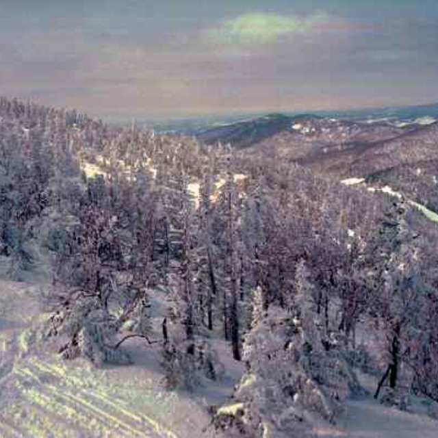
Previsión meteorológica para Jay Peak en553m altitud
Emitido: 1 am 01 Aug 2026 (hora local)
Previsión de nieve actualizada en hora Min
View forecast
Jay Peakat 553 m altitud
Emitido por Snow-Forescast.com a:1 am (hora local) / 01 Aug 2026
Últimos 6 díasDesplázate a la izquierda para los últimos 6 díasAhora
Next 3 days weather summary:
Lluvia moderada (totál 11.0mm), más pesada el lunes por la tarde. Cálido (max 27°C el domingo por la tarde, min 14°C el lunes por la noche). El viento será generalmente ligero.
Días 4-6 Resúmen del Tiempo para Jay Peak
Lluvia ligera (totál 9.0mm), cayendo mayormente el jueves por la noche. Cálido (max 27°C el jueves por la tarde, min 16°C el martes por la noche). El viento será generalmente ligero.
La tabla anterior muestra el pronóstico de tiempo para Jay Peak en la altitud específica de 553 m. Nuestros modelos meteorológicos sofisticados permiten prever pronósticos para la cumbre, la mitad y la base de Jay Peak. Para aceder a los pronósticos de tiempo a otras alturas, pinche en la navegación en la parte superior de la tabla. Para una visión general, consulte el Mapa meteorológico de United States.
Pinche aquí para más información sobre niveles de congelación y sobre cómo pronosticamos las temperaturas.
Comentarios de Visitantes para Jay Peak
Generalmente 3.8 En base a 23 votos y 9 comentarios
Lets face it, we're not comparing the terrain here to that of the phenomenal ski circuses found in the Austrian Alps, so getting grounded on that thought Jay Peak is one of the best to be skied venues in Eastern N.A.! You get the best chances for fresh here, combined with a reasonable consistent vertical drop and an assortment of runs ( I'd like to highlight the glades, moguls and piste pitch). It is, however, expensive to stay overnight on or off hill but does offer a great indoor waterpark for family; fyi: not pet friendly! They will fine you for it without compromise! Check out the General Store in Jay for a fabulous "Slab" sandwich and whatever else too!
Generalmente: 3.8 En base a 23 votos y 9 comentarios
Nieve segura
4.1
Variedad de pistas
4.3
Fuera de pista
4.6
Escenografía
3.9
Después del esquí
3.6
Mark de Canada escribe:
Lets face it, we're not comparing the terrain here to that of the phenomenal ski circuses found in the Austrian Alps, so getting grounded on that thought Jay Peak is one of the best to be skied venues in Eastern N.A.! You get the best chances for fresh here, combined with a reasonable consistent vertical drop and an assortment of runs ( I'd like to highlight the glades, moguls and piste pitch). It is, however, expensive to stay overnight on or off hill but does offer a great indoor waterpark for family; fyi: not pet friendly! They will fine you for it without compromise! Check out the General Store in Jay for a fabulous "Slab" sandwich and whatever else too!
Gratis Snow-Forecast.com Widget del Tiempo para su sitio web
El widget del tiempo para esquiar para Jay Peak está disponible para ser empotrado en sitios web externos sin costo alguno. Proporciona un resumen diario de nuestro pronóstico de nieve en Jay Peak y estados de tiempo actuales. Vaya simplemente a la página para su configuración y siga los 3 pasos sencillos. Tome el código de transferencia del hipertexto y péguelo en su propio sitio web. Puede escoger la elevación en el pronóstico de nieve (cumbre, ascensor de medio-montaña o fondo) y unidades métrico/imperiales para el motor del pronóstico de nieve y convenir su propio website…. Click aquí para obtener el código


 Nearest