


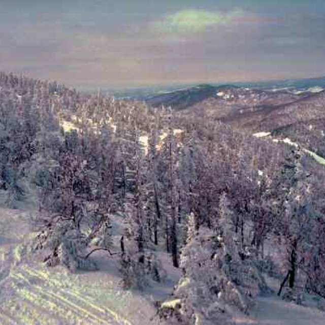
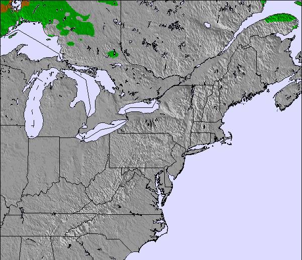
Portillo Storm Snowfall Total Passes 5m / 17 Feet
A snow storm that has now continued for nine days has taken Chilean ski resort Portillo to a snowfall total of 5.2 metres (17 feet) so far, with more snow forecast.

Next 3 days weather summary:Lluvia moderada (totál 12.0mm), más pesada el sábado por la noche. Cálido (max 21°C el sábado por la tarde, min 14°C el jueves por la mañana). El viento será generalmente ligero. | Días 4-6 Resúmen del Tiempo para Jay PeakFuerte lluvia (totál 36.0mm), más pesada durante la noche de domingo. Muy templado (max 19°C el martes por la tarde, min 14°C el lunes por la mañana). Mayormente vientos fuertes. | |||||||||||||||||
jueves 30 | viernes 31 | sábado 1 | domingo 2 | lunes 3 | martes 4 | |||||||||||||
mañana | tarde | noche | mañana | tarde | noche | mañana | tarde | noche | mañana | tarde | noche | mañana | tarde | noche | mañana | tarde | noche | |
nubl ado | llovizna | chuba scos | claro | chuba scos | chuba scos | claro | nubl ado | llovizna | llovizna | llovizna | fuerte lluvia | llovizna | nubl ado | semi nublado | semi nublado | nubl ado | lluvia mod. | |
km/h | ||||||||||||||||||
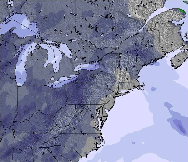
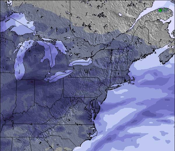
Mapa de Nieve |  |  |  |  |  |  | ||||||||||||
— | — | — | — | — | — | — | — | — | — | — | — | — | — | — | — | — | — | |
mm | — | 2 | 3 | — | 2 | 1 | — | — | 4 | 1 | 2 | 22 | 3 | — | — | — | — | 8 |
max °C | 15 | 17 | 15 | 16 | 18 | 17 | 20 | 21 | 19 | 18 | 17 | 17 | 15 | 16 | 16 | 18 | 19 | 17 |
min °C | 14 | 16 | 14 | 14 | 18 | 16 | 18 | 21 | 18 | 17 | 17 | 15 | 14 | 16 | 14 | 15 | 19 | 15 |
chill °C | 13 | 16 | 14 | 14 | 18 | 16 | 18 | 21 | 18 | 16 | 16 | 13 | 14 | 16 | 13 | 14 | 19 | 15 |
Humed. % | 80 | 82 | 88 | 80 | 76 | 80 | 69 | 68 | 76 | 87 | 92 | 100 | 91 | 77 | 77 | 77 | 81 | 99 |
Altura de Hielo m | 3450 | 3450 | 3500 | 3550 | 3800 | 3900 | 4000 | 3950 | 4000 | 3950 | 4200 | 4200 | 4000 | 4300 | 4350 | 4450 | 4600 | 4500 |
5:31 | — | — | 5:33 | — | — | 5:33 | — | — | 5:35 | — | — | 5:35 | — | — | 5:37 | — | — | |
— | — | 8:19 | — | — | 8:16 | — | — | 8:15 | — | — | 8:15 | — | — | 8:14 | — | — | 8:12 | |
Hazte pro y carve en:
Información de avalanchas: National Avalanche Center
Ultimo parte de nieve cerca Jay Peak:
| Profundidad de nieve arriba: | — |
|---|---|
| Profundidad de nieve abajo: | — |
| Profundidad de la nevada fresca: | — |
| Última nevada: | 29 May 2026 |
0.0 | Dias de Nieve en Polvo Nieve fresca, mayormente soleado, viento suave. |
|---|---|
0.0 | Dias de nieve en polvo Nieve fresca, sol limitado, sin viento. |
0.0 | Dia perfecto para esquiar Nieve promedio, mayormente soleado, viento suave. |
La tabla anterior muestra el pronóstico de tiempo para Jay Peak en la altitud específica de 881 m. Nuestros modelos meteorológicos sofisticados permiten prever pronósticos para la cumbre, la mitad y la base de Jay Peak. Para aceder a los pronósticos de tiempo a otras alturas, pinche en la navegación en la parte superior de la tabla. Para una visión general, consulte el Mapa meteorológico de United States.
Pinche aquí para más información sobre niveles de congelación y sobre cómo pronosticamos las temperaturas.
Generalmente 3.8 En base a 23 votos y 9 comentarios
Just trying to purchase gift cards for Christmas was a nightmare. They process the money from your charge card and send nothing out.
Jack de United States escribe:
Just trying to purchase gift cards for Christmas was a nightmare. They process the money from your charge card and send nothing out.
Lea 8 otras críticas de Jay Peak o entrega su propio comentario

 Nearest