
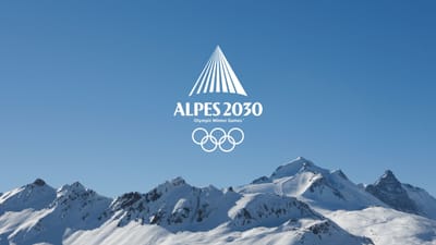
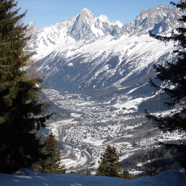
Freeride Added To 2030 Olympic Winter Games
The IOC has today announced a swathe of decisions ahead of the Alpes 2030 Winter Olympics and Paralympics in the French Alps.

Next 3 days weather summary:Lluvia ligera (totál 8.0mm), cayendo mayormente el martes por la mañana. Muy templado (max 11°C el miércoles por la tarde, min 7°C el martes por la noche). El viento será generalmente ligero. | Días 4-6 Resúmen del Tiempo para ChamonixFuerte lluvia (totál 30.0mm), más pesada durante la noche de sábado. Muy templado (max 16°C el sábado por la tarde, min 5°C el domingo por la noche). El viento será generalmente ligero. | |||||||||||||||||
martes 21 | miércoles 22 | jueves 23 | viernes 24 | sábado 25 | domingo 26 | |||||||||||||
mañana | tarde | noche | mañana | tarde | noche | mañana | tarde | noche | mañana | tarde | noche | mañana | tarde | noche | mañana | tarde | noche | |
riesgo truenos | riesgo truenos | claro | claro | claro | claro | semi nublado | claro | claro | claro | claro | claro | semi nublado | claro | chuba scos | llovizna | llovizna | llovizna | |
km/h | ||||||||||||||||||
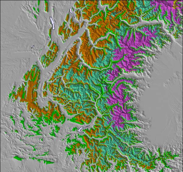
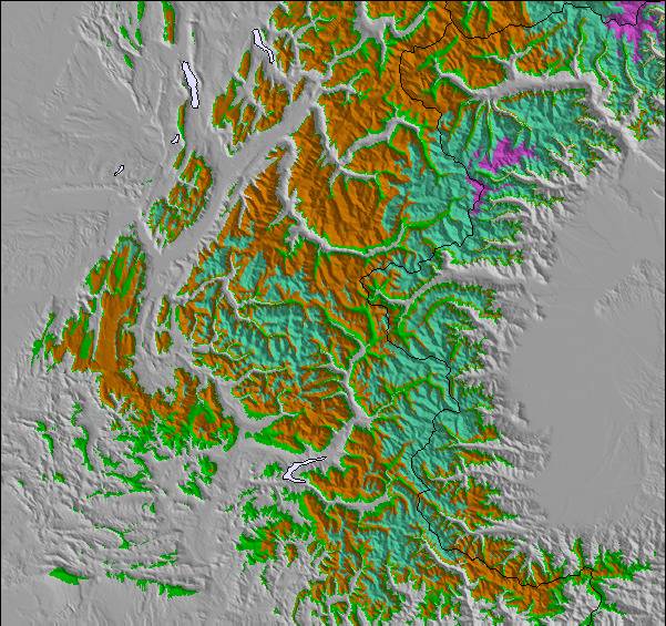
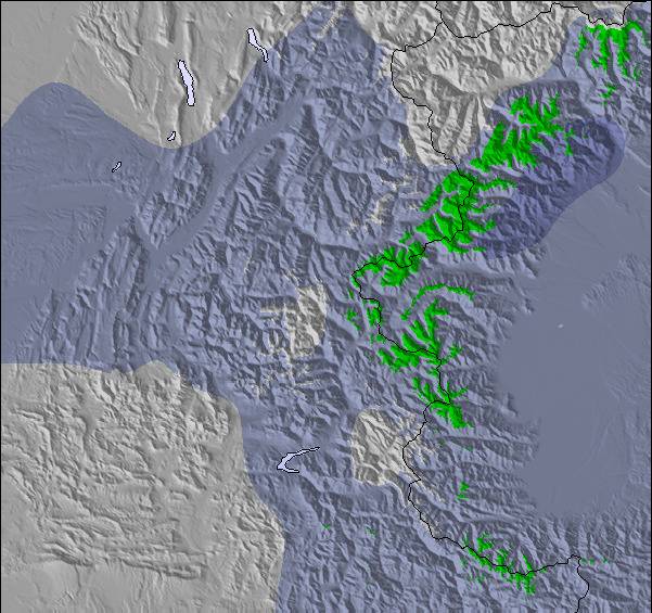
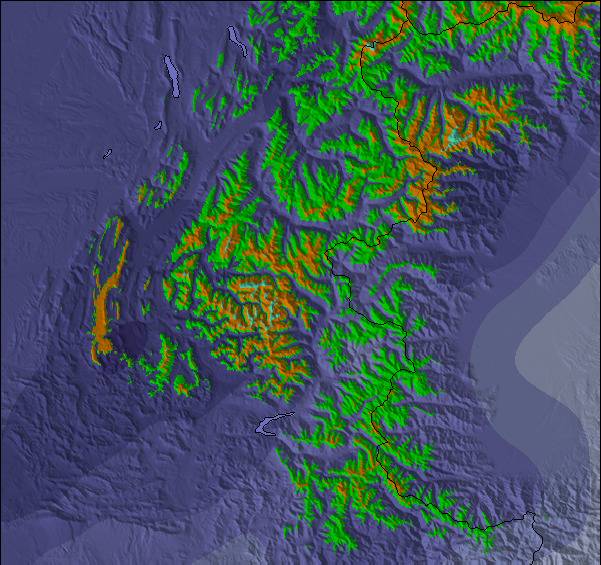
Mapa de Nieve |  |  |  |  |  |  | ||||||||||||
— | — | — | — | — | — | — | — | — | — | — | — | — | — | — | — | — | — | |
mm | 5 | 3 | — | — | — | — | — | — | — | — | — | — | — | — | 19 | 1 | 5 | 5 |
max °C | 9 | 10 | 8 | 10 | 11 | 10 | 9 | 10 | 8 | 11 | 13 | 12 | 14 | 16 | 10 | 8 | 8 | 6 |
min °C | 8 | 9 | 7 | 8 | 11 | 7 | 8 | 9 | 7 | 9 | 12 | 11 | 12 | 15 | 7 | 8 | 7 | 5 |
chill °C | 6 | 8 | 7 | 8 | 10 | 6 | 7 | 8 | 7 | 9 | 12 | 10 | 11 | 15 | 5 | 7 | 6 | 3 |
Humed. % | 65 | 64 | 47 | 27 | 51 | 36 | 44 | 56 | 40 | 20 | 43 | 26 | 36 | 51 | 87 | 80 | 80 | 98 |
Altura de Hielo m | 3650 | 3550 | 3700 | 3900 | 3900 | 3900 | 3650 | 3650 | 3950 | 4250 | 4200 | 4350 | 4300 | 4300 | 3600 | 3500 | 3550 | 3350 |
6:01 | — | — | 6:03 | — | — | 6:03 | — | — | 6:05 | — | — | 6:05 | — | — | 6:07 | — | — | |
— | — | 9:15 | — | — | 9:14 | — | — | 9:13 | — | — | 9:12 | — | — | 9:09 | — | — | 9:08 | |
Hazte pro y carve en:
Información de avalanchas: European Avalanche Warning Services (EAWS)
Ultimo parte de nieve cerca Chamonix:
| Profundidad de nieve arriba: | — |
|---|---|
| Profundidad de nieve abajo: | — |
| Profundidad de la nevada fresca: | — |
| Última nevada: | 10 Jun 2026 |
0.0 | Dias de Nieve en Polvo Nieve fresca, mayormente soleado, viento suave. |
|---|---|
0.1 | Dias de nieve en polvo Nieve fresca, sol limitado, sin viento. |
0.0 | Dia perfecto para esquiar Nieve promedio, mayormente soleado, viento suave. |
La tabla anterior muestra el pronóstico de tiempo para Chamonix en la altitud específica de 2440 m. Nuestros modelos meteorológicos sofisticados permiten prever pronósticos para la cumbre, la mitad y la base de Chamonix. Para aceder a los pronósticos de tiempo a otras alturas, pinche en la navegación en la parte superior de la tabla. Para una visión general, consulte el Mapa meteorológico de France.
Pinche aquí para más información sobre niveles de congelación y sobre cómo pronosticamos las temperaturas.
Generalmente 4.1 En base a 56 votos y 92 comentarios
This is from a piste skier’s perspective. Despite the smaller individual areas, Chamonix is still great. If you think carefully where to stay, you can use the quick reliable train to easily get to the Grand Montets, Flegere and Le Tour (Valloricine station). The buses are fine and really frequent but the train is easier. The Brevent-Flegere area is big enough to keep you happy for a couple of days and has terrific views. Le Tour (Balme) is better than I remembered. Grands Montets is really missing the top lift that’s being rebuilt. Food on the mountain has improved with more options than I remember from my last trip 10 years ago. Food in town is still really good with loads of choice. It’s easy to get to, I took an overnight bus from Paris which worked well. I arrived at 7, had breakfast in the Plan B hotel by the bus station and was skiing by 9. If that’s too extreme, Geneva airport is just over an hour away and there are good train services from Paris. If you’re a piste skier who occasionally ventures off-piste, Chamonix is poor as there are so many good powder skiers it gets tracked out in no time. The great off-piste is well away from the ski areas and quite serious.
Martin de United Kingdom escribe:
This is from a piste skier’s perspective. Despite the smaller individual areas, Chamonix is still great. If you think carefully where to stay, you can use the quick reliable train to easily get to the Grand Montets, Flegere and Le Tour (Valloricine station). The buses are fine and really frequent but the train is easier.
The Brevent-Flegere area is big enough to keep you happy for a couple of days and has terrific views. Le Tour (Balme) is better than I remembered. Grands Montets is really missing the top lift that’s being rebuilt.
Food on the mountain has improved with more options than I remember from my last trip 10 years ago. Food in town is still really good with loads of choice.
It’s easy to get to, I took an overnight bus from Paris which worked well. I arrived at 7, had breakfast in the Plan B hotel by the bus station and was skiing by 9. If that’s too extreme, Geneva airport is just over an hour away and there are good train services from Paris.
If you’re a piste skier who occasionally ventures off-piste, Chamonix is poor as there are so many good powder skiers it gets tracked out in no time. The great off-piste is well away from the ski areas and quite serious.
Lea 91 otras críticas de Chamonix o entrega su propio comentario

 Nearest