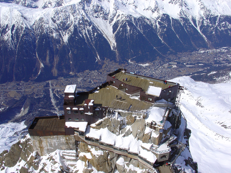

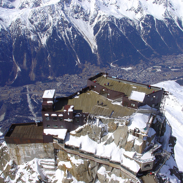
Freeride Added To 2030 Olympic Winter Games
The IOC has today announced a swathe of decisions ahead of the Alpes 2030 Winter Olympics and Paralympics in the French Alps.

Next 3 days weather summary:Fuerte lluvia (totál 31.0mm), más pesada durante la tarde de martes. Cálido (max 28°C el lunes por la tarde, min 17°C el lunes por la noche). El viento será generalmente ligero. | Días 4-6 Resúmen del Tiempo para ChamonixLluvia moderada (totál 16.0mm), más pesada el jueves por la tarde. Cálido (max 25°C el sábado por la tarde, min 15°C el jueves por la noche). El viento será generalmente ligero. | ||||||||||||||||
lun 3 | martes 4 | miércoles 5 | jueves 6 | viernes 7 | sábado 8 | ||||||||||||
tarde | noche | mañana | tarde | noche | mañana | tarde | noche | mañana | tarde | noche | mañana | tarde | noche | mañana | tarde | noche | |
riesgo truenos | chuba scos | riesgo truenos | riesgo truenos | chuba scos | claro | riesgo truenos | chuba scos | claro | lluvia mod. | chuba scos | semi nublado | riesgo truenos | chuba scos | claro | claro | claro | |
km/h | |||||||||||||||||
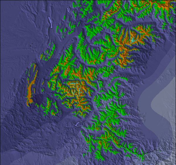
Mapa de Nieve |  |  |  |  |  |  | |||||||||||
— | — | — | — | — | — | — | — | — | — | — | — | — | — | — | — | — | |
mm | 4 | 5 | 1 | 9 | 6 | — | 4 | 2 | — | 7 | 6 | — | 2 | 1 | — | — | — |
max °C | 28 | 21 | 25 | 27 | 20 | 24 | 25 | 22 | 24 | 24 | 18 | 21 | 23 | 20 | 22 | 25 | 21 |
min °C | 23 | 17 | 19 | 22 | 17 | 20 | 23 | 17 | 20 | 20 | 15 | 17 | 22 | 15 | 18 | 25 | 16 |
chill °C | 23 | 17 | 19 | 22 | 17 | 20 | 23 | 17 | 20 | 20 | 15 | 17 | 22 | 15 | 18 | 25 | 16 |
Humed. % | 69 | 73 | 52 | 68 | 74 | 58 | 62 | 67 | 54 | 88 | 88 | 71 | 66 | 77 | 58 | 42 | 61 |
Altura de Hielo m | 4450 | 4500 | 4450 | 4450 | 4400 | 4300 | 4400 | 4450 | 4300 | 4200 | 4200 | 4150 | 4200 | 4300 | 4300 | 4400 | 4500 |
— | — | 6:16 | — | — | 6:18 | — | — | 6:20 | — | — | 6:20 | — | — | 6:22 | — | — | |
— | 9:00 | — | — | 8:58 | — | — | 8:57 | — | — | 8:54 | — | — | 8:53 | — | — | 8:52 | |
Hazte pro y carve en:
Información de avalanchas: European Avalanche Warning Services (EAWS)
Ultimo parte de nieve cerca Chamonix:
| Profundidad de nieve arriba: | — |
|---|---|
| Profundidad de nieve abajo: | — |
| Profundidad de la nevada fresca: | — |
| Última nevada: | 10 Jun 2026 |
0.0 | Dias de Nieve en Polvo Nieve fresca, mayormente soleado, viento suave. |
|---|---|
0.0 | Dias de nieve en polvo Nieve fresca, sol limitado, sin viento. |
0.0 | Dia perfecto para esquiar Nieve promedio, mayormente soleado, viento suave. |
La tabla anterior muestra el pronóstico de tiempo para Chamonix en la altitud específica de 1037 m. Nuestros modelos meteorológicos sofisticados permiten prever pronósticos para la cumbre, la mitad y la base de Chamonix. Para aceder a los pronósticos de tiempo a otras alturas, pinche en la navegación en la parte superior de la tabla. Para una visión general, consulte el Mapa meteorológico de France.
Pinche aquí para más información sobre niveles de congelación y sobre cómo pronosticamos las temperaturas.
Generalmente 4.1 En base a 56 votos y 92 comentarios
If you want a idyllic mountain experience, forget Chamonix. If you like loud techno sound all night long on the streets, then Chamonix is perfect. For me I hated it. Will never come back! Worst experience ever.
JJ widman de France escribe:
If you want a idyllic mountain experience, forget Chamonix. If you like loud techno sound all night long on the streets, then Chamonix is perfect. For me I hated it. Will never come back! Worst experience ever.
Lea 91 otras críticas de Chamonix o entrega su propio comentario

 Nearest