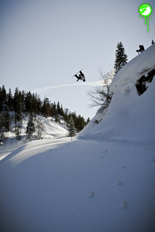


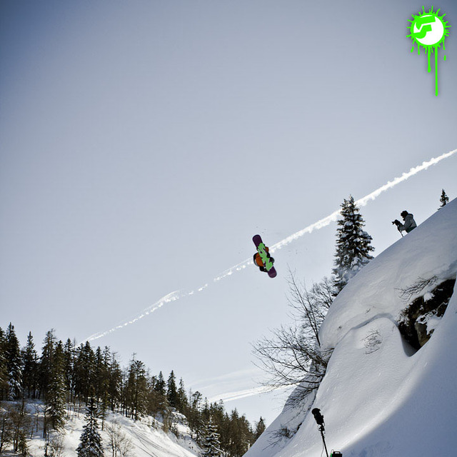
Portillo Storm Snowfall Total Passes 5m / 17 Feet
A snow storm that has now continued for nine days has taken Chilean ski resort Portillo to a snowfall total of 5.2 metres (17 feet) so far, with more snow forecast.

Next 3 days weather summary:Lluvia moderada (totál 11.0mm), más pesada el domingo por la tarde. Muy templado (max 17°C el martes por la tarde, min 9°C el lunes por la mañana). Vientos decreciente (vientos frescos desde el O el domingo por la noche, calma por la noche de martes). | Días 4-6 Resúmen del Tiempo para WaidringLluvia ligera (totál 7.0mm), cayendo mayormente el miércoles por la tarde. Cálido (max 24°C el viernes por la tarde, min 17°C el miércoles por la tarde). El viento será generalmente ligero. | ||||||||||||||||
dom 26 | lunes 27 | martes 28 | miércoles 29 | jueves 30 | viernes 31 | ||||||||||||
tarde | noche | mañana | tarde | noche | mañana | tarde | noche | mañana | tarde | noche | mañana | tarde | noche | mañana | tarde | noche | |
llovizna | chuba scos | chuba scos | chuba scos | chuba scos | claro | claro | claro | claro | riesgo truenos | chuba scos | claro | claro | claro | claro | claro | chuba scos | |
km/h | |||||||||||||||||
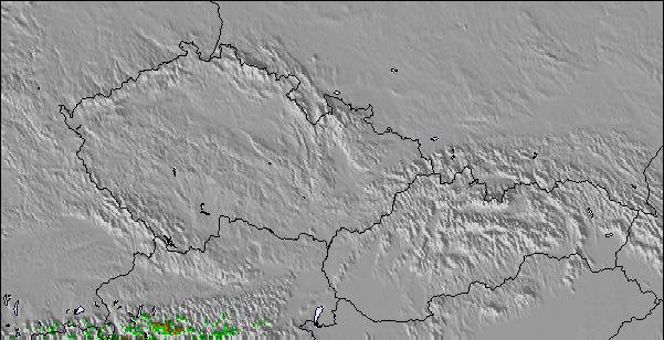
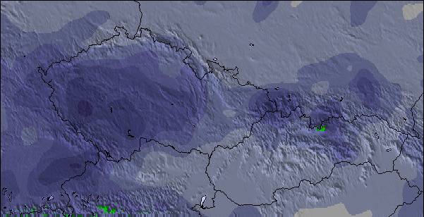
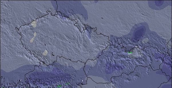
Mapa de Nieve |  |  |  |  | 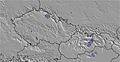 | 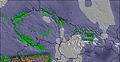 | |||||||||||
— | — | — | — | — | — | — | — | — | — | — | — | — | — | — | — | — | |
mm | 3 | 3 | 1 | 3 | 1 | — | — | — | — | 3 | 1 | — | — | — | — | — | 2 |
max °C | 11 | 12 | 10 | 12 | 12 | 13 | 17 | 15 | 17 | 19 | 19 | 20 | 22 | 22 | 22 | 24 | 24 |
min °C | 11 | 11 | 9 | 11 | 12 | 12 | 15 | 15 | 16 | 17 | 17 | 19 | 21 | 22 | 22 | 24 | 19 |
chill °C | 11 | 9 | 6 | 8 | 10 | 11 | 15 | 15 | 16 | 17 | 17 | 19 | 21 | 22 | 22 | 24 | 19 |
Humed. % | 76 | 64 | 85 | 72 | 60 | 56 | 48 | 58 | 61 | 60 | 44 | 42 | 32 | 29 | 29 | 28 | 49 |
Altura de Hielo m | 3600 | 3400 | 3400 | 3650 | 3750 | 4250 | 4500 | 4550 | 4400 | 4450 | 4300 | 4300 | 4500 | 4650 | 4700 | 4750 | 4700 |
— | — | 5:39 | — | — | 5:41 | — | — | 5:41 | — | — | 5:43 | — | — | 5:45 | — | — | |
— | 8:52 | — | — | 8:51 | — | — | 8:50 | — | — | 8:49 | — | — | 8:46 | — | — | 8:45 | |
Hazte pro y carve en:
Información de avalanchas: European Avalanche Warning Services (EAWS)
Ultimo parte de nieve cerca Waidring:
| Profundidad de nieve arriba: | — |
|---|---|
| Profundidad de nieve abajo: | — |
| Profundidad de la nevada fresca: | — |
| Última nevada: | 16 May 2026 |
0.0 | Dias de Nieve en Polvo Nieve fresca, mayormente soleado, viento suave. |
|---|---|
0.0 | Dias de nieve en polvo Nieve fresca, sol limitado, sin viento. |
0.0 | Dia perfecto para esquiar Nieve promedio, mayormente soleado, viento suave. |
La tabla anterior muestra el pronóstico de tiempo para Waidring en la altitud específica de 1900 m. Nuestros modelos meteorológicos sofisticados permiten prever pronósticos para la cumbre, la mitad y la base de Waidring. Para aceder a los pronósticos de tiempo a otras alturas, pinche en la navegación en la parte superior de la tabla. Para una visión general, consulte el Mapa meteorológico de Austria.
Pinche aquí para más información sobre niveles de congelación y sobre cómo pronosticamos las temperaturas.
Generalmente 3.9 En base a 5 votos y 3 comentarios
Steinplatte and the snow conditions are fantastic all season long. Warm and familiar hospitality with great food at Hotel Gasthof Sonnenbichl, 8 km. from Steinplatte. Visit them at hotelsonnen.com
Thomas de Hungary escribe:
Steinplatte and the snow conditions are fantastic all season long.
Warm and familiar hospitality with great food at Hotel Gasthof Sonnenbichl, 8 km. from Steinplatte.
Visit them at hotelsonnen.com
Lea 2 otras críticas de Waidring o entrega su propio comentario

 Nearest