

America’s Next Indoor Snow Centre Takes Shape
Construction of a new indoor snow centre for skiers, boarders and tubers appears to be making good progress at Heritage Farm in Wayne County, West Virginia.

Next 3 days weather summary:Lluvia moderada (totál 16.0mm), más pesada el jueves por la mañana. Muy templado (max 16°C el miércoles por la tarde, min 9°C el miércoles por la mañana). El viento será generalmente ligero. | Días 4-6 Resúmen del Tiempo para WaidringFuerte lluvia (totál 28.0mm), más pesada durante la mañana de lunes. Cálido (max 21°C el sábado por la tarde, min 11°C el domingo por la noche). El viento será generalmente ligero. | ||||||||||||||||
mar 21 | miércoles 22 | jueves 23 | viernes 24 | sábado 25 | domingo 26 | ||||||||||||
tarde | noche | mañana | tarde | noche | mañana | tarde | noche | mañana | tarde | noche | mañana | tarde | noche | mañana | tarde | noche | |
chuba scos | chuba scos | claro | claro | chuba scos | chuba scos | riesgo truenos | chuba scos | claro | claro | claro | semi nublado | claro | chuba scos | riesgo truenos | llovizna | llovizna | |
km/h | |||||||||||||||||
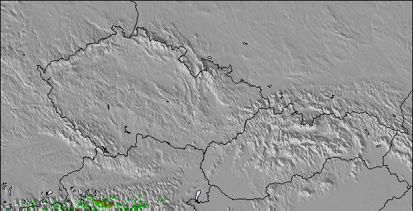
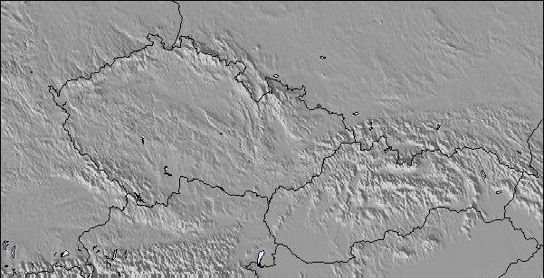
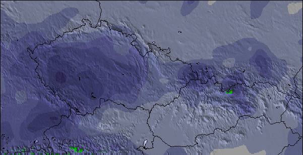
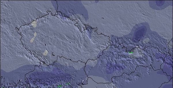
Mapa de Nieve |  |  |  |  |  |  | |||||||||||
— | — | — | — | — | — | — | — | — | — | — | — | — | — | — | — | — | |
mm | 1 | 2 | — | — | 2 | 3 | 4 | 4 | — | — | — | — | — | 6 | 3 | 5 | 5 |
max °C | 14 | 12 | 12 | 16 | 15 | 10 | 11 | 11 | 12 | 16 | 14 | 17 | 21 | 20 | 14 | 13 | 14 |
min °C | 13 | 10 | 9 | 14 | 10 | 9 | 11 | 10 | 10 | 14 | 13 | 15 | 20 | 15 | 14 | 12 | 11 |
chill °C | 12 | 9 | 8 | 13 | 9 | 8 | 10 | 10 | 10 | 14 | 13 | 15 | 20 | 15 | 14 | 10 | 10 |
Humed. % | 66 | 71 | 57 | 41 | 61 | 86 | 73 | 65 | 52 | 37 | 48 | 37 | 37 | 63 | 79 | 86 | 66 |
Altura de Hielo m | 2900 | 2700 | 2900 | 3050 | 3050 | 2800 | 2800 | 2650 | 3000 | 3450 | 3850 | 3900 | 4200 | 4100 | 3550 | 3350 | 3150 |
— | — | 5:33 | — | — | 5:35 | — | — | 5:35 | — | — | 5:37 | — | — | 5:37 | — | — | |
— | 8:58 | — | — | 8:57 | — | — | 8:55 | — | — | 8:54 | — | — | 8:53 | — | — | 8:52 | |
Hazte pro y carve en:
Información de avalanchas: European Avalanche Warning Services (EAWS)
Ultimo parte de nieve cerca Waidring:
| Profundidad de nieve arriba: | — |
|---|---|
| Profundidad de nieve abajo: | — |
| Profundidad de la nevada fresca: | — |
| Última nevada: | 16 May 2026 |
0.0 | Dias de Nieve en Polvo Nieve fresca, mayormente soleado, viento suave. |
|---|---|
0.0 | Dias de nieve en polvo Nieve fresca, sol limitado, sin viento. |
0.0 | Dia perfecto para esquiar Nieve promedio, mayormente soleado, viento suave. |
La tabla anterior muestra el pronóstico de tiempo para Waidring en la altitud específica de 1340 m. Nuestros modelos meteorológicos sofisticados permiten prever pronósticos para la cumbre, la mitad y la base de Waidring. Para aceder a los pronósticos de tiempo a otras alturas, pinche en la navegación en la parte superior de la tabla. Para una visión general, consulte el Mapa meteorológico de Austria.
Pinche aquí para más información sobre niveles de congelación y sobre cómo pronosticamos las temperaturas.
Generalmente 3.9 En base a 5 votos y 3 comentarios
Skied here several times, during Feb/March, as the snow was so much better than most other resorts, in the region, this year but it was often very busy because of this. Steinplatte is a great area for blue run skiers and there are some runs where even the most timid of skiers can allow their skis to stay in the foreline. The slopes are very wide and the lifts are very modern. As a consequence, when it is busy you really have to watch your back as there can be a large number of technically poor skiers hammering down the hill and it is sometimes quite dangerous to finish your turns because of the risk of someone skiing into you from behind. On quieter days, weekdays in January and just before Easter it is an intermediates paradise. If it gets too busy or the visibility is poor you can ski down to Winklmoos, in Germany, and usually avoid the queues and ski on tree-lined runs. This has the best terrain I have ever seen for beginners and very timid skiers afraid of any gradient, and holds the snow very well. Pros: incredible terrain for timid skiers, usually the best snow conditions in the area, fast efficient lift system, easy to get to by car. Cons: often very busy, a lot of idiot skiers, during the holidays, skiing too fast for their ability, not enough mountain restaurants which can get over-crowded, prone to misty whiteout conditions (most of the skiing is above the tree line). Top tip: always ski here on a sunny weekday in low season.
Mark Gunston de United Kingdom escribe:
Skied here several times, during Feb/March, as the snow was so much better than most other resorts, in the region, this year but it was often very busy because of this. Steinplatte is a great area for blue run skiers and there are some runs where even the most timid of skiers can allow their skis to stay in the foreline. The slopes are very wide and the lifts are very modern. As a consequence, when it is busy you really have to watch your back as there can be a large number of technically poor skiers hammering down the hill and it is sometimes quite dangerous to finish your turns because of the risk of someone skiing into you from behind. On quieter days, weekdays in January and just before Easter it is an intermediates paradise. If it gets too busy or the visibility is poor you can ski down to Winklmoos, in Germany, and usually avoid the queues and ski on tree-lined runs. This has the best terrain I have ever seen for beginners and very timid skiers afraid of any gradient, and holds the snow very well.
Pros: incredible terrain for timid skiers, usually the best snow conditions in the area, fast efficient lift system, easy to get to by car.
Cons: often very busy, a lot of idiot skiers, during the holidays, skiing too fast for their ability, not enough mountain restaurants which can get over-crowded, prone to misty whiteout conditions (most of the skiing is above the tree line).
Top tip: always ski here on a sunny weekday in low season.
Lea 2 otras críticas de Waidring o entrega su propio comentario

 Nearest