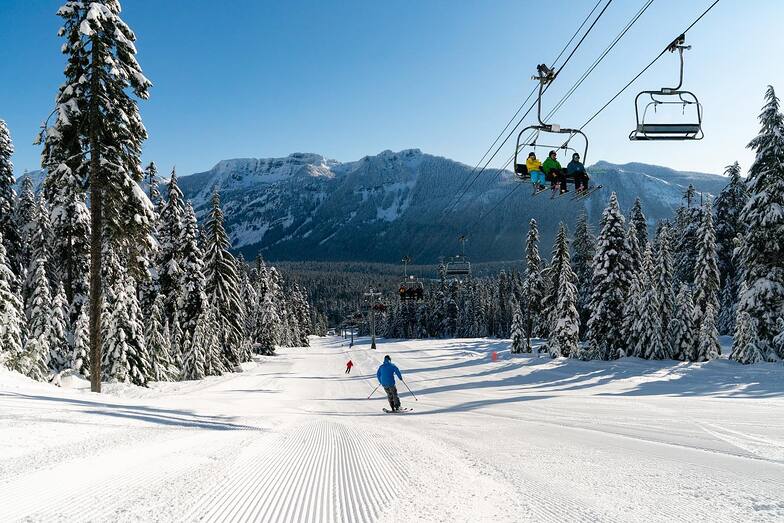


Portillo Storm Snowfall Total Passes 5m / 17 Feet
A snow storm that has now continued for nine days has taken Chilean ski resort Portillo to a snowfall total of 5.2 metres (17 feet) so far, with more snow forecast.

Next 3 days weather summary:Mayormente seco. Muy templado (max 18°C el viernes por la tarde, min 8°C el miércoles por la mañana). El viento será generalmente ligero. | Días 4-6 Resúmen del Tiempo para The Summit at SnoqualmieLluvia ligera (totál 3.0mm), cayendo mayormente el sábado por la mañana. Muy templado (max 14°C el lunes por la tarde, min 6°C el sábado por la noche). Mayormente vientos frescos. | |||||||||||||||||
miércoles 29 | jueves 30 | viernes 31 | sábado 1 | domingo 2 | lunes 3 | |||||||||||||
mañana | tarde | noche | mañana | tarde | noche | mañana | tarde | noche | mañana | tarde | noche | mañana | tarde | noche | mañana | tarde | noche | |
claro | semi nublado | claro | claro | claro | claro | claro | claro | claro | llovizna | chuba scos | nubl ado | claro | claro | semi nublado | claro | claro | claro | |
km/h | ||||||||||||||||||
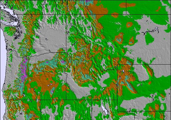
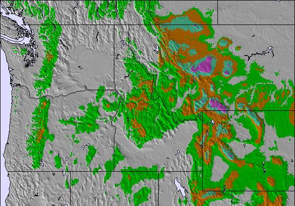
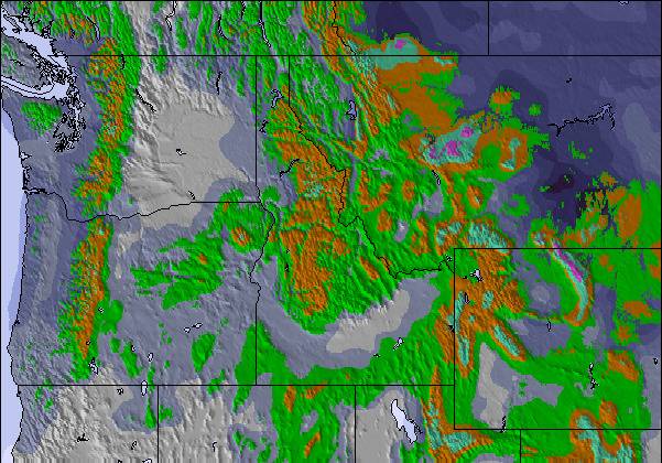
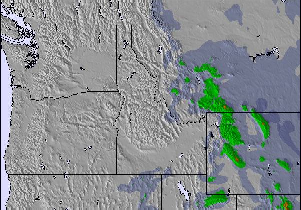
Mapa de Nieve |  |  |  |  |  |  | ||||||||||||
— | — | — | — | — | — | — | — | — | — | — | — | — | — | — | — | — | — | |
mm | — | — | — | — | — | — | — | — | — | 1 | 2 | — | — | — | — | — | — | — |
max °C | 9 | 13 | 12 | 11 | 15 | 14 | 15 | 18 | 17 | 10 | 11 | 8 | 7 | 10 | 10 | 11 | 14 | 14 |
min °C | 8 | 12 | 10 | 10 | 12 | 12 | 13 | 17 | 11 | 10 | 9 | 6 | 7 | 8 | 7 | 8 | 12 | 13 |
chill °C | 8 | 12 | 9 | 8 | 12 | 12 | 13 | 17 | 8 | 7 | 5 | 5 | 5 | 6 | 3 | 4 | 10 | 12 |
Humed. % | 72 | 54 | 64 | 29 | 37 | 55 | 43 | 43 | 61 | 97 | 50 | 90 | 74 | 67 | 66 | 56 | 45 | 53 |
Altura de Hielo m | 3900 | 3900 | 3950 | 3950 | 4150 | 4350 | 4350 | 4550 | 4150 | 3200 | 2800 | 3300 | 3300 | 3100 | 2750 | 3300 | 3650 | 3900 |
5:41 | — | — | 5:43 | — | — | 5:43 | — | — | 5:45 | — | — | 5:47 | — | — | 5:48 | — | — | |
— | — | 8:45 | — | — | 8:45 | — | — | 8:44 | — | — | 8:42 | — | — | 8:40 | — | — | 8:39 | |
Hazte pro y carve en:
Información de avalanchas: National Avalanche Center
Ultimo parte de nieve cerca The Summit at Snoqualmie:
| Profundidad de nieve arriba: | — |
|---|---|
| Profundidad de nieve abajo: | — |
| Profundidad de la nevada fresca: | — |
| Última nevada: | 6 Jun 2026 |
0.0 | Dias de Nieve en Polvo Nieve fresca, mayormente soleado, viento suave. |
|---|---|
0.0 | Dias de nieve en polvo Nieve fresca, sol limitado, sin viento. |
0.0 | Dia perfecto para esquiar Nieve promedio, mayormente soleado, viento suave. |

La tabla anterior muestra el pronóstico de tiempo para The Summit at Snoqualmie en la altitud específica de 1311 m. Nuestros modelos meteorológicos sofisticados permiten prever pronósticos para la cumbre, la mitad y la base de The Summit at Snoqualmie. Para aceder a los pronósticos de tiempo a otras alturas, pinche en la navegación en la parte superior de la tabla. Para una visión general, consulte el Mapa meteorológico de United States.
Pinche aquí para más información sobre niveles de congelación y sobre cómo pronosticamos las temperaturas.
Generalmente 1.0 En base a 1 voto y 5 comentarios
Warning: the map location and forecasts are not correct for this listing for The Summit at Snoqualmie. For some reason, this shows it on the south side of Cougar Mountain, nowhere near Snoqualmie Pass. The correct one is snow-forecast.com/resorts/Snoqualmie/6day/mid [note from the editor: the following text can be seen on the Resort Guide page: This is a duplicated entry. See Summit at Snoqualime pages.)
Cory de United States escribe:
Warning: the map location and forecasts are not correct for this listing for The Summit at Snoqualmie.
For some reason, this shows it on the south side of Cougar Mountain, nowhere near Snoqualmie Pass.
The correct one is snow-forecast.com/resorts/Snoqualmie/6day/mid
[note from the editor: the following text can be seen on the Resort Guide page: This is a duplicated entry. See Summit at Snoqualime pages.)
Lea 4 otras críticas de The Summit at Snoqualmie o entrega su propio comentario

 Nearest