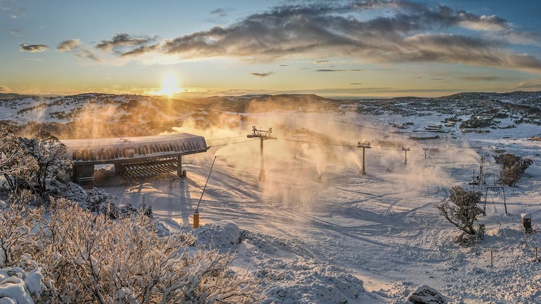

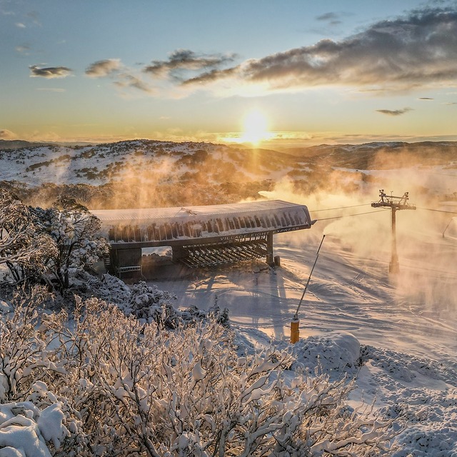
Australia's 2026 Season Starting With Fresh Snow
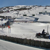
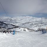
Mother Nature has delivered across the Australian Alps with near perfect timing for the start of the 2026 snow season tomorrow at most of the country's leading resorts, Saturday 6 June.

Next 3 days weather summary:Mayormente seco. Temperaturas templadas (max 5°C el jueves por la noche, min 1°C el miércoles por la mañana). El viento será generalmente ligero. | Días 4-6 Resúmen del Tiempo para PerisherMayormente seco. Temperaturas templadas (max 7°C el domingo por la mañana, min 4°C el lunes por la noche). El viento será generalmente ligero. | |||||||||||||||||
miércoles 15 | jueves 16 | viernes 17 | sábado 18 | domingo 19 | lunes 20 | |||||||||||||
mañana | tarde | noche | mañana | tarde | noche | mañana | tarde | noche | mañana | tarde | noche | mañana | tarde | noche | mañana | tarde | noche | |
claro | claro | claro | claro | claro | claro | claro | claro | claro | claro | claro | claro | claro | claro | claro | semi nublado | semi nublado | semi nublado | |
km/h | ||||||||||||||||||
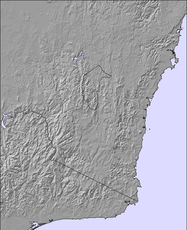
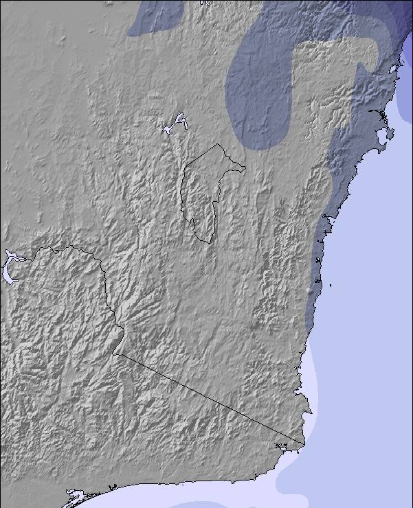
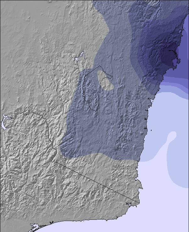
Mapa de Nieve |  |  | 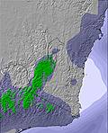 | 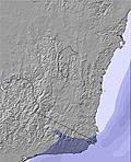 | 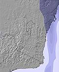 | 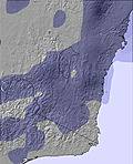 | ||||||||||||
— | — | — | — | — | — | — | — | — | — | — | — | — | — | — | — | — | — | |
mm | — | — | — | — | — | — | — | — | — | — | — | — | — | — | — | — | — | — |
max °C | 3 | 3 | 3 | 4 | 4 | 5 | 5 | 5 | 5 | 6 | 5 | 6 | 7 | 6 | 6 | 7 | 6 | 5 |
min °C | 1 | 2 | 2 | 2 | 3 | 4 | 5 | 5 | 5 | 6 | 5 | 5 | 7 | 6 | 6 | 7 | 5 | 4 |
chill °C | -5 | -2 | -2 | -1 | 0 | 2 | 4 | 3 | 3 | 6 | 4 | 5 | 7 | 6 | 6 | 6 | 3 | 0 |
Humed. % | 33 | 37 | 50 | 56 | 57 | 37 | 30 | 47 | 28 | 20 | 39 | 22 | 14 | 32 | 19 | 19 | 31 | 15 |
Altura de Hielo m | 2300 | 2650 | 2900 | 2950 | 3050 | 3150 | 3100 | 3100 | 3200 | 3150 | 3050 | 3100 | 3150 | 3150 | 3250 | 3300 | 3250 | 3250 |
7:15 | — | — | 7:15 | — | — | 7:13 | — | — | 7:13 | — | — | 7:13 | — | — | 7:13 | — | — | |
— | 5:08 | — | — | 5:08 | — | — | 5:09 | — | — | 5:10 | — | — | 5:10 | — | — | 5:12 | — | |
Hazte pro y carve en:
Información de avalanchas: Mountain Safety Collective
Ultimo parte de nieve cerca Perisher:
Snow is falling at Thredbo. desde Thredbo
| Profundidad de nieve arriba: | 53 cm |
|---|---|
| Profundidad de nieve abajo: | 30 cm |
| Profundidad de la nevada fresca: | — |
| Última nevada: | 12 Jul 2026 |
0.4 | Dias de Nieve en Polvo Nieve fresca, mayormente soleado, viento suave. |
|---|---|
0.6 | Dias de nieve en polvo Nieve fresca, sol limitado, sin viento. |
1.0 | Dia perfecto para esquiar Nieve promedio, mayormente soleado, viento suave. |
La tabla anterior muestra el pronóstico de tiempo para Perisher en la altitud específica de 2034 m. Nuestros modelos meteorológicos sofisticados permiten prever pronósticos para la cumbre, la mitad y la base de Perisher. Para aceder a los pronósticos de tiempo a otras alturas, pinche en la navegación en la parte superior de la tabla. Para una visión general, consulte el Mapa meteorológico de Australia.
Pinche aquí para más información sobre niveles de congelación y sobre cómo pronosticamos las temperaturas.
Generalmente 3.3 En base a 44 votos y 50 comentarios
Thredbo and Perisher refuse to acknowledge reality and move this weekend on a week or two, to a time when there is actual snow on the ground. In the seven years that I have lived in Canberra there has never been natural snow on the ground in the first week of July. And to add insult to injury, Thredbo has now even refused to offer the fake snow and toboggan rides which drew families to it. Oh, and they waited until a week before the day to announce that. So what can you expect? At Thredbo expect zero snow, paying top dollar for ski-lifts, mechanical sled rides food and drink, a sad snow sculpture melting in the heat, empty pubs where one or two bored people watch footy, over-heated coffee shops closing early, a DJ playing house music to which toddlers and pre-teens dance while their parents stand around sipping over-priced beer and wine. The fireworks were such a non-event that we didn’t even realise they had happened. At Perisher expect some man-made snow, a few better musos, but not much more. Don’t expect a magical, fun-filled snow weekend as advertised in the brochures. Don’t waste your money, time and energy on this over-hyped, over-priced kids party. Snow open weekend offers you zero snow and zero fun at full season prices. Despite the fact that Threbo and Perisher no doubt know, after so many years of having no actual snow on this weekend, that it will be snowless, they continue to promote this weekend as a funtastic opening to the snow. Too much to expect snow on a weekend claiming (and priced) to be the “start of the snowy season”? Apparently it is. Even Perisher barely has any snow at this time of the year and the reason those photos look so filled with happy people on the snow is because everyone is trying to squeeze onto the few man-made patches of snow for their instagram moment. Until both Thredbo and Perisher start admitting that they are artificially extending the snow season in order to rake in extra money, and stop charging like there is actual snow on the ground, do yourself a favour and don’t fall for their lies. Show them the contempt they deserve by boycotting them for these first two weeks of June and go when there is actual snow and you are getting what you pay for. I for one will not be paying snow fees for a zero snow weekend again. Fool me once.....
Schagne Venter de Australia escribe:
Thredbo and Perisher refuse to acknowledge reality and move this weekend on a week or two, to a time when there is actual snow on the ground. In the seven years that I have lived in Canberra there has never been natural snow on the ground in the first week of July. And to add insult to injury, Thredbo has now even refused to offer the fake snow and toboggan rides which drew families to it. Oh, and they waited until a week before the day to announce that.
So what can you expect? At Thredbo expect zero snow, paying top dollar for ski-lifts, mechanical sled rides food and drink, a sad snow sculpture melting in the heat, empty pubs where one or two bored people watch footy, over-heated coffee shops closing early, a DJ playing house music to which toddlers and pre-teens dance while their parents stand around sipping over-priced beer and wine. The fireworks were such a non-event that we didn’t even realise they had happened. At Perisher expect some man-made snow, a few better musos, but not much more. Don’t expect a magical, fun-filled snow weekend as advertised in the brochures.
Don’t waste your money, time and energy on this over-hyped, over-priced kids party. Snow open weekend offers you zero snow and zero fun at full season prices. Despite the fact that Threbo and Perisher no doubt know, after so many years of having no actual snow on this weekend, that it will be snowless, they continue to promote this weekend as a funtastic opening to the snow. Too much to expect snow on a weekend claiming (and priced) to be the “start of the snowy season”? Apparently it is. Even Perisher barely has any snow at this time of the year and the reason those photos look so filled with happy people on the snow is because everyone is trying to squeeze onto the few man-made patches of snow for their instagram moment.
Until both Thredbo and Perisher start admitting that they are artificially extending the snow season in order to rake in extra money, and stop charging like there is actual snow on the ground, do yourself a favour and don’t fall for their lies. Show them the contempt they deserve by boycotting them for these first two weeks of June and go when there is actual snow and you are getting what you pay for. I for one will not be paying snow fees for a zero snow weekend again. Fool me once.....
Lea 49 otras críticas de Perisher o entrega su propio comentario


 Nearest