Emitido por Snow-Forescast.com a:1 pm (hora local) / 02 Aug 2026
Últimos 6 díasDesplázate a la izquierda para los últimos 6 díasAhora
Next 3 days weather summary:
Fuerte lluvia (totál 37.0mm), más pesada durante la noche de domingo. Muy templado (max 15°C el lunes por la tarde, min 12°C el domingo por la noche). El viento será generalmente ligero.
Días 4-6 Resúmen del Tiempo para Obergurgl
Fuerte lluvia (totál 59.0mm), más pesada durante la noche de jueves. Muy templado (max 16°C el miércoles por la tarde, min 10°C el viernes por la noche). El viento será generalmente ligero.
La tabla anterior muestra el pronóstico de tiempo para Obergurgl en la altitud específica de 2440 m. Nuestros modelos meteorológicos sofisticados permiten prever pronósticos para la cumbre, la mitad y la base de Obergurgl. Para aceder a los pronósticos de tiempo a otras alturas, pinche en la navegación en la parte superior de la tabla. Para una visión general, consulte el Mapa meteorológico de Austria.
Pinche aquí para más información sobre niveles de congelación y sobre cómo pronosticamos las temperaturas.
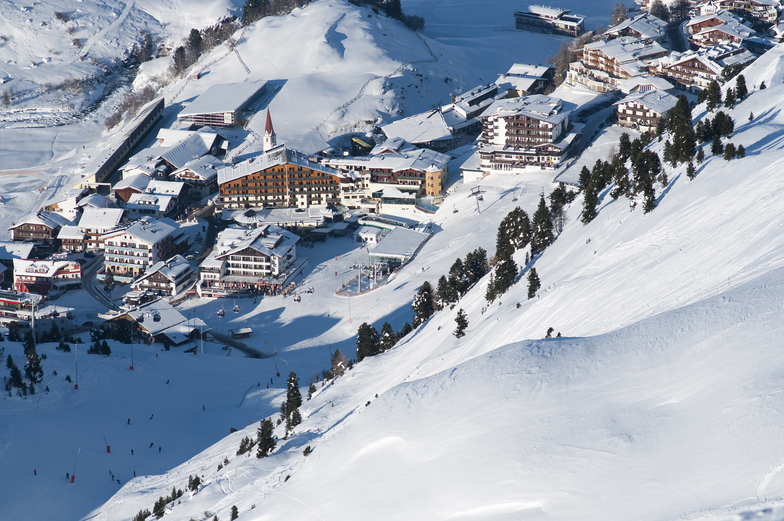
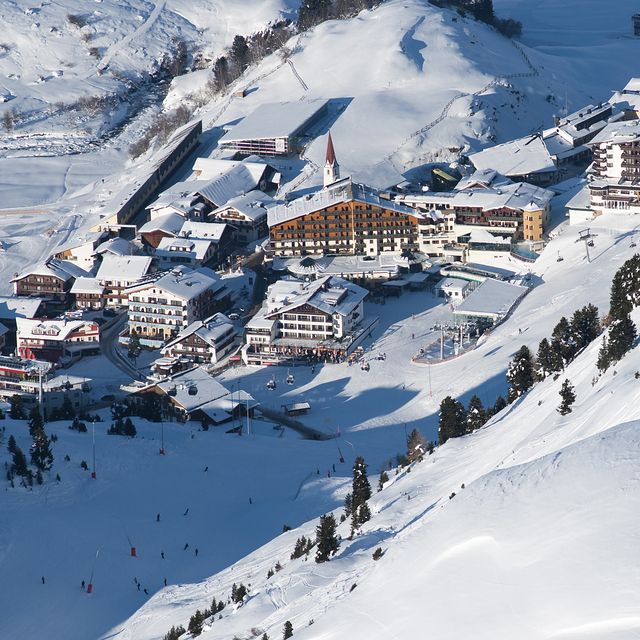
Comentarios de Visitantes para Obergurgl
Generalmente 4.0 En base a 47 votos y 47 comentarios
Fantastic just not for beginners de United Kingdom escribe:
Have been three times now and really like this resort. It has a nice feel to it in a traditional way but modern too. So much nicer than Solden down the road. It’s more older and family focused I would say. Having said that, the bus service that runs around the resort and back to Solden is very good. So, if you fancy it, you can go there too; takes about 20 mins.
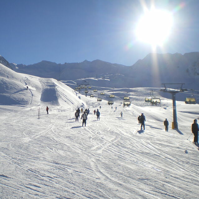
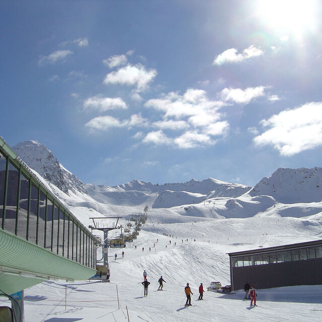
I would say Obergurgl and Hochgurgl are intermediate and above level. They are not good for beginners. Yes, the piste map is covered with blue runs. But, as with other Austrian resorts I have been to, I would say they are more red than blue in places.
There is also plenty of easy access off-piste to have a go at. Most just on the edges of runs. Snow was excellent being a high resort and has kept well where other lower resorts this season (2024) had suffered.
I preferred the Hochgurgl side so if you get the choice then get a hotel that side. However, it is easy just to catch the many busses ( 5 mins) down the road to the Hochgurgl lift from Obergurgl or a slightly longer route is the ski down from the top to the lift that crosses the valley between the two.
The motorcycle museum is a must see too while you are there and excellent place to stop for lunch.
If you’ve not tried this resort then I would highly recommend. With a short transfer time from Innsbruck it is also a great choice for a short break. We went Wednesday to Sunday, which worked well as Saturday is the change over day and quite on the slopes.
Generalmente: 4.0 En base a 47 votos y 47 comentarios
Nieve segura
4.8
Variedad de pistas
4.3
Fuera de pista
3.5
Escenografía
4.5
Después del esquí
3.6
Fantastic just not for beginners de United Kingdom escribe:
Have been three times now and really like this resort. It has a nice feel to it in a traditional way but modern too. So much nicer than Solden down the road. It’s more older and family focused I would say. Having said that, the bus service that runs around the resort and back to Solden is very good. So, if you fancy it, you can go there too; takes about 20 mins.
I would say Obergurgl and Hochgurgl are intermediate and above level. They are not good for beginners. Yes, the piste map is covered with blue runs. But, as with other Austrian resorts I have been to, I would say they are more red than blue in places.
There is also plenty of easy access off-piste to have a go at. Most just on the edges of runs. Snow was excellent being a high resort and has kept well where other lower resorts this season (2024) had suffered.
I preferred the Hochgurgl side so if you get the choice then get a hotel that side. However, it is easy just to catch the many busses ( 5 mins) down the road to the Hochgurgl lift from Obergurgl or a slightly longer route is the ski down from the top to the lift that crosses the valley between the two.
The motorcycle museum is a must see too while you are there and excellent place to stop for lunch.
If you’ve not tried this resort then I would highly recommend. With a short transfer time from Innsbruck it is also a great choice for a short break. We went Wednesday to Sunday, which worked well as Saturday is the change over day and quite on the slopes.
Gratis Snow-Forecast.com Widget del Tiempo para su sitio web
El widget del tiempo para esquiar para Obergurgl está disponible para ser empotrado en sitios web externos sin costo alguno. Proporciona un resumen diario de nuestro pronóstico de nieve en Obergurgl y estados de tiempo actuales. Vaya simplemente a la página para su configuración y siga los 3 pasos sencillos. Tome el código de transferencia del hipertexto y péguelo en su propio sitio web. Puede escoger la elevación en el pronóstico de nieve (cumbre, ascensor de medio-montaña o fondo) y unidades métrico/imperiales para el motor del pronóstico de nieve y convenir su propio website…. Click aquí para obtener el código


 Nearest