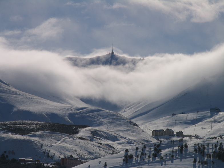


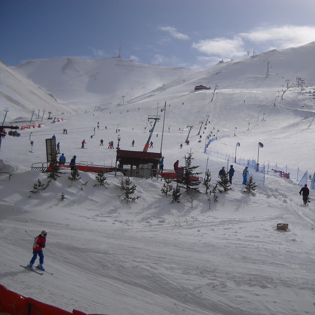
Portillo Re-Opens To Guests Arriving By Helicopter
Chile’s famous Portillo ski resort is reported to have re-opened to guests arriving by helicopter after being cut off by road for more than two weeks by over 6m/20 feet of snowfall.

Next 3 days weather summary:Mayormente seco. Cálido (max 24°C el lunes por la tarde, min 14°C el miércoles por la noche). El viento será generalmente ligero. | Días 4-6 Resúmen del Tiempo para Mt PalandökenMayormente seco. Cálido (max 23°C el sábado por la tarde, min 15°C el sábado por la noche). El viento será generalmente ligero. | |||||||||||||||||
lunes 3 | martes 4 | miércoles 5 | jueves 6 | viernes 7 | sábado 8 | |||||||||||||
mañana | tarde | noche | mañana | tarde | noche | mañana | tarde | noche | mañana | tarde | noche | mañana | tarde | noche | mañana | tarde | noche | |
claro | claro | claro | claro | claro | claro | claro | claro | claro | claro | semi nublado | claro | claro | semi nublado | claro | claro | semi nublado | claro | |
km/h | ||||||||||||||||||
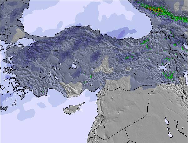
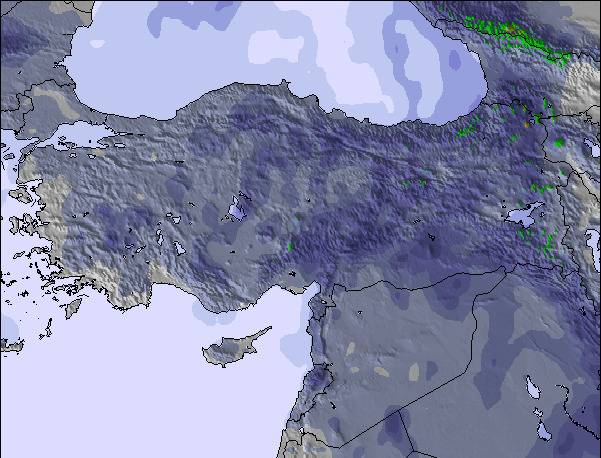
Mapa de Nieve |  |  |  | 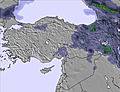 | 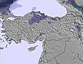 | 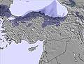 | ||||||||||||
— | — | — | — | — | — | — | — | — | — | — | — | — | — | — | — | — | — | |
mm | — | — | — | — | — | — | — | — | — | — | — | — | — | — | — | — | — | — |
max °C | 22 | 24 | 21 | 22 | 24 | 20 | 19 | 21 | 18 | 19 | 21 | 18 | 19 | 22 | 20 | 20 | 23 | 21 |
min °C | 20 | 24 | 18 | 19 | 23 | 15 | 17 | 21 | 14 | 16 | 21 | 16 | 17 | 22 | 17 | 18 | 23 | 15 |
chill °C | 20 | 24 | 18 | 19 | 23 | 15 | 17 | 21 | 14 | 16 | 21 | 16 | 17 | 22 | 17 | 18 | 23 | 15 |
Humed. % | 33 | 21 | 26 | 32 | 17 | 25 | 40 | 25 | 56 | 56 | 27 | 47 | 38 | 25 | 41 | 42 | 24 | 49 |
Altura de Hielo m | 5450 | 5750 | 5700 | 5500 | 5650 | 5500 | 5550 | 5850 | 5600 | 5450 | 5850 | 5650 | 5650 | 5950 | 5800 | 5600 | 5850 | 5650 |
5:13 | — | — | 5:15 | — | — | 5:16 | — | — | 5:16 | — | — | 5:18 | — | — | 5:18 | — | — | |
— | 7:25 | — | — | 7:24 | — | — | 7:23 | — | — | 7:22 | — | — | 7:22 | — | — | 7:20 | — | |
Hazte pro y carve en:
Ultimo parte de nieve cerca Mt Palandöken:
| Profundidad de nieve arriba: | — |
|---|---|
| Profundidad de nieve abajo: | — |
| Profundidad de la nevada fresca: | — |
| Última nevada: | 24 May 2026 |
0.0 | Dias de Nieve en Polvo Nieve fresca, mayormente soleado, viento suave. |
|---|---|
0.0 | Dias de nieve en polvo Nieve fresca, sol limitado, sin viento. |
0.0 | Dia perfecto para esquiar Nieve promedio, mayormente soleado, viento suave. |
La tabla anterior muestra el pronóstico de tiempo para Mt Palandöken en la altitud específica de 2600 m. Nuestros modelos meteorológicos sofisticados permiten prever pronósticos para la cumbre, la mitad y la base de Mt Palandöken. Para aceder a los pronósticos de tiempo a otras alturas, pinche en la navegación en la parte superior de la tabla. Para una visión general, consulte el Mapa meteorológico de Turkey.
Pinche aquí para más información sobre niveles de congelación y sobre cómo pronosticamos las temperaturas.
Nombre de la estación también escrito como Mt Palandoken.
Generalmente 4.1 En base a 32 votos y 32 comentarios
Palandöken/Ejder3200 has the longest ski slopes in Turkey and offers crystal snow along with Sarikamis. Due to its climate it rarely faces snow shortage, although the region receives few snow in the recent years. There is snow making and night skiing is also possible. There used to be a superpipe and slopestyle piste which were built for Universiade 2011. However, nobody takes care of them so there is no option for freestyle enthusiasts. Also, the black pistes are usually closed (sometimes due to avalanche risk but mostly due to idleness). Despite these, Palandöken offers good skiing for reasonable price compared to the resorts in the west. There also long slopes in Konakli, which were also built in 2011. But they are used for competitions as there only 1 accommodation facility in this area. If this place is combined with Palandöken in the future, it would be the 3 Vallees of Türkiye and probably the largest ski area in Middle East & Balkan. Apart from the main slopes, Sway Hotel and Polat Hotel has their own ski pistes,which are free of charge for hotel guests. You can visit Ejder3200 website for webcams, snow conditions and current piste map.
Sinan de Turkey escribe:
Palandöken/Ejder3200 has the longest ski slopes in Turkey and offers crystal snow along with Sarikamis. Due to its climate it rarely faces snow shortage, although the region receives few snow in the recent years. There is snow making and night skiing is also possible. There used to be a superpipe and slopestyle piste which were built for Universiade 2011. However, nobody takes care of them so there is no option for freestyle enthusiasts. Also, the black pistes are usually closed (sometimes due to avalanche risk but mostly due to idleness). Despite these, Palandöken offers good skiing for reasonable price compared to the resorts in the west.
There also long slopes in Konakli, which were also built in 2011. But they are used for competitions as there only 1 accommodation facility in this area. If this place is combined with Palandöken in the future, it would be the 3 Vallees of Türkiye and probably the largest ski area in Middle East & Balkan.
Apart from the main slopes, Sway Hotel and Polat Hotel has their own ski pistes,which are free of charge for hotel guests. You can visit Ejder3200 website for webcams, snow conditions and current piste map.
Lea 31 otras críticas de Mt Palandöken o entrega su propio comentario

 Nearest