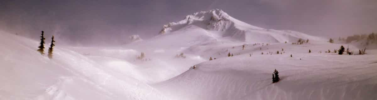


Portillo Re-Opens To Guests Arriving By Helicopter
Chile’s famous Portillo ski resort is reported to have re-opened to guests arriving by helicopter after being cut off by road for more than two weeks by over 6m/20 feet of snowfall.

Next 3 days weather summary:Lluvia moderada (totál 19.0mm), más pesada el martes por la tarde. Muy templado (max 10°C el lunes por la tarde, min 6°C el miércoles por la mañana). El viento será generalmente ligero. | Días 4-6 Resúmen del Tiempo para MontchavinLluvia moderada (totál 12.0mm), más pesada el jueves por la noche. Temperaturas templadas (max 9°C el sábado por la noche, min 5°C el jueves por la tarde). El viento será generalmente ligero. | ||||||||||||||||
lun 3 | martes 4 | miércoles 5 | jueves 6 | viernes 7 | sábado 8 | ||||||||||||
tarde | noche | mañana | tarde | noche | mañana | tarde | noche | mañana | tarde | noche | mañana | tarde | noche | mañana | tarde | noche | |
riesgo truenos | chuba scos | riesgo truenos | riesgo truenos | chuba scos | claro | riesgo truenos | chuba scos | claro | riesgo truenos | chuba scos | claro | riesgo truenos | claro | claro | claro | claro | |
km/h | |||||||||||||||||
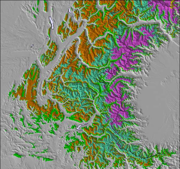
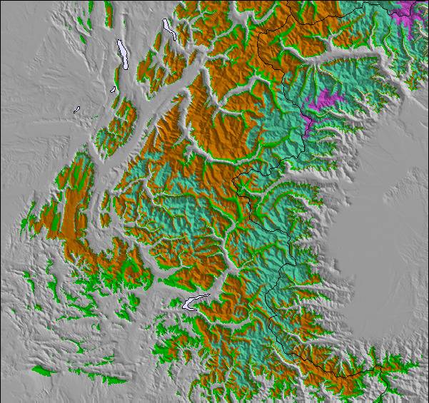
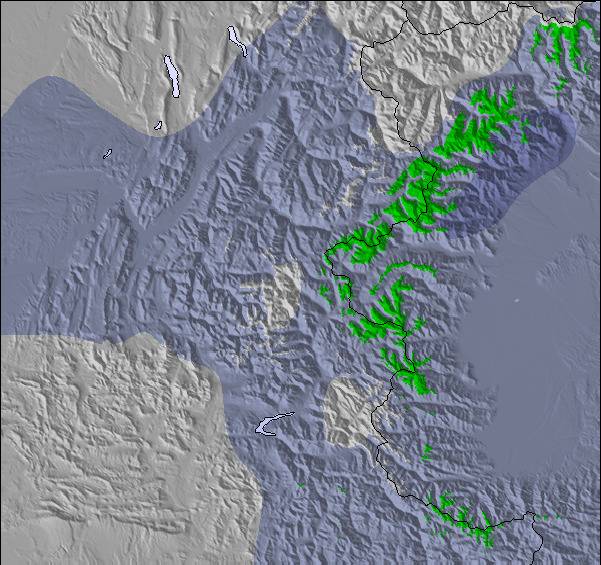
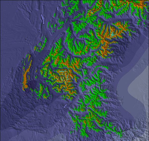
Mapa de Nieve |  |  |  |  |  |  | |||||||||||
— | — | — | — | — | — | — | — | — | — | — | — | — | — | — | — | — | |
mm | 1 | 2 | 1 | 4 | 5 | — | 3 | 3 | — | 5 | 6 | — | 1 | — | — | — | — |
max °C | 10 | 9 | 8 | 9 | 7 | 7 | 7 | 8 | 8 | 7 | 7 | 7 | 6 | 7 | 7 | 7 | 9 |
min °C | 9 | 8 | 8 | 8 | 7 | 6 | 7 | 7 | 7 | 5 | 6 | 6 | 6 | 6 | 6 | 7 | 8 |
chill °C | 7 | 6 | 6 | 7 | 6 | 6 | 7 | 6 | 6 | 3 | 5 | 6 | 6 | 6 | 5 | 7 | 8 |
Humed. % | 65 | 66 | 63 | 76 | 68 | 82 | 87 | 56 | 62 | 93 | 63 | 46 | 88 | 70 | 52 | 64 | 33 |
Altura de Hielo m | 4600 | 4500 | 4500 | 4500 | 4450 | 4300 | 4450 | 4450 | 4350 | 4150 | 4250 | 4250 | 4250 | 4350 | 4350 | 4400 | 4550 |
— | — | 6:18 | — | — | 6:20 | — | — | 6:20 | — | — | 6:22 | — | — | 6:24 | — | — | |
— | 8:59 | — | — | 8:58 | — | — | 8:55 | — | — | 8:54 | — | — | 8:52 | — | — | 8:52 | |
Hazte pro y carve en:
Información de avalanchas: European Avalanche Warning Services (EAWS)
Ultimo parte de nieve cerca Montchavin:
| Profundidad de nieve arriba: | — |
|---|---|
| Profundidad de nieve abajo: | — |
| Profundidad de la nevada fresca: | — |
| Última nevada: | 4 Jun 2026 |
0.1 | Dias de Nieve en Polvo Nieve fresca, mayormente soleado, viento suave. |
|---|---|
0.2 | Dias de nieve en polvo Nieve fresca, sol limitado, sin viento. |
0.2 | Dia perfecto para esquiar Nieve promedio, mayormente soleado, viento suave. |
La tabla anterior muestra el pronóstico de tiempo para Montchavin en la altitud específica de 3250 m. Nuestros modelos meteorológicos sofisticados permiten prever pronósticos para la cumbre, la mitad y la base de Montchavin. Para aceder a los pronósticos de tiempo a otras alturas, pinche en la navegación en la parte superior de la tabla. Para una visión general, consulte el Mapa meteorológico de France.
Pinche aquí para más información sobre niveles de congelación y sobre cómo pronosticamos las temperaturas.
Generalmente 4.5 En base a 8 votos y 8 comentarios
We have been to Les Coches on regular ski holidays and found the whole experience fantastic. Skiaffinity offer a great solution to missing the usual gridlock on "transfer Saturday", they offer a Sunday to Sunday package so not only the roads are quieter on a Sunday, we also get to ski on Saturday with only the locals on the slopes. Skiaffinity offer a luxury fully catered chalet within metres of the ski lift and with Laurie and Jess as chalet hosts delivering exceptional fully catered 5 star service. Great village atmosphere, check out "White Lines" après bar also. It was so good at new year we are all heading back next month.
John M de United Kingdom escribe:
We have been to Les Coches on regular ski holidays and found the whole experience fantastic. Skiaffinity offer a great solution to missing the usual gridlock on "transfer Saturday", they offer a Sunday to Sunday package so not only the roads are quieter on a Sunday, we also get to ski on Saturday with only the locals on the slopes. Skiaffinity offer a luxury fully catered chalet within metres of the ski lift and with Laurie and Jess as chalet hosts delivering exceptional fully catered 5 star service. Great village atmosphere, check out "White Lines" après bar also. It was so good at new year we are all heading back next month.
Lea 7 otras críticas de Montchavin o entrega su propio comentario

 Nearest