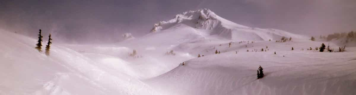


America’s Next Indoor Snow Centre Takes Shape
Construction of a new indoor snow centre for skiers, boarders and tubers appears to be making good progress at Heritage Farm in Wayne County, West Virginia.

Next 3 days weather summary:Lluvia ligera (totál 8.0mm), cayendo mayormente el martes por la mañana. Cálido (max 22°C el miércoles por la tarde, min 10°C el martes por la noche). El viento será generalmente ligero. | Días 4-6 Resúmen del Tiempo para MontchavinFuerte lluvia (totál 31.0mm), más pesada durante la noche de sábado. Cálido (max 27°C el sábado por la tarde, min 12°C el sábado por la noche). El viento será generalmente ligero. | |||||||||||||||||
martes 21 | miércoles 22 | jueves 23 | viernes 24 | sábado 25 | domingo 26 | |||||||||||||
mañana | tarde | noche | mañana | tarde | noche | mañana | tarde | noche | mañana | tarde | noche | mañana | tarde | noche | mañana | tarde | noche | |
riesgo truenos | riesgo truenos | chuba scos | claro | claro | claro | semi nublado | claro | claro | claro | claro | claro | semi nublado | semi nublado | riesgo truenos | riesgo truenos | llovizna | llovizna | |
km/h | ||||||||||||||||||
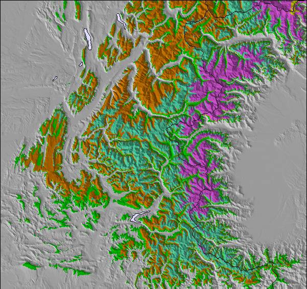
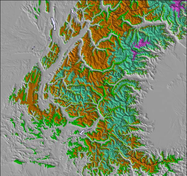
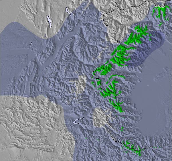
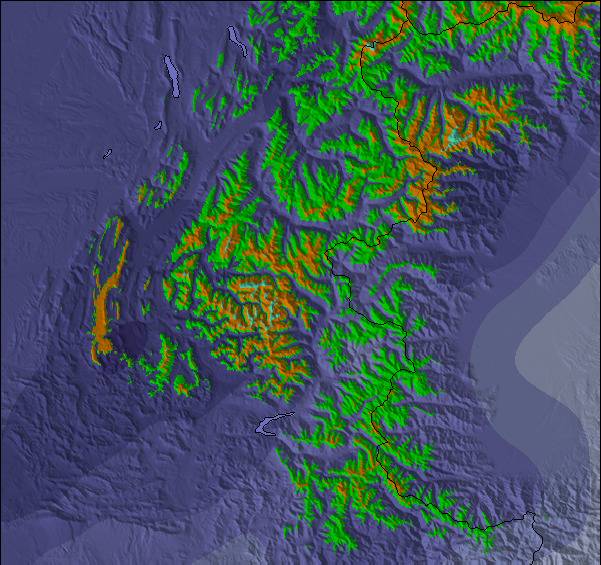
Mapa de Nieve |  |  |  |  |  |  | ||||||||||||
— | — | — | — | — | — | — | — | — | — | — | — | — | — | — | — | — | — | |
mm | 4 | 3 | 1 | — | — | — | — | — | — | — | — | — | — | — | 19 | 2 | 5 | 5 |
max °C | 19 | 20 | 18 | 18 | 22 | 18 | 18 | 21 | 18 | 19 | 23 | 19 | 25 | 27 | 20 | 16 | 17 | 14 |
min °C | 16 | 20 | 10 | 13 | 21 | 11 | 14 | 21 | 10 | 14 | 23 | 15 | 18 | 26 | 12 | 15 | 14 | 12 |
chill °C | 16 | 20 | 10 | 13 | 21 | 11 | 14 | 21 | 10 | 14 | 23 | 15 | 18 | 26 | 12 | 15 | 14 | 12 |
Humed. % | 62 | 52 | 70 | 41 | 40 | 56 | 43 | 39 | 66 | 32 | 30 | 40 | 28 | 36 | 98 | 76 | 76 | 99 |
Altura de Hielo m | 3700 | 3600 | 3800 | 4000 | 3950 | 4000 | 3700 | 3750 | 4050 | 4350 | 4200 | 4350 | 4350 | 4350 | 3600 | 3500 | 3600 | 3350 |
6:03 | — | — | 6:03 | — | — | 6:05 | — | — | 6:07 | — | — | 6:07 | — | — | 6:09 | — | — | |
— | — | 9:14 | — | — | 9:13 | — | — | 9:12 | — | — | 9:10 | — | — | 9:09 | — | — | 9:08 | |
Hazte pro y carve en:
Información de avalanchas: European Avalanche Warning Services (EAWS)
Ultimo parte de nieve cerca Montchavin:
No information received. Clear blue skies, all lifts open. desde La Giettaz en Aravis
| Profundidad de nieve arriba: | — |
|---|---|
| Profundidad de nieve abajo: | — |
| Profundidad de la nevada fresca: | — |
| Última nevada: | 4 Jun 2026 |
0.0 | Dias de Nieve en Polvo Nieve fresca, mayormente soleado, viento suave. |
|---|---|
0.0 | Dias de nieve en polvo Nieve fresca, sol limitado, sin viento. |
0.0 | Dia perfecto para esquiar Nieve promedio, mayormente soleado, viento suave. |
La tabla anterior muestra el pronóstico de tiempo para Montchavin en la altitud específica de 1250 m. Nuestros modelos meteorológicos sofisticados permiten prever pronósticos para la cumbre, la mitad y la base de Montchavin. Para aceder a los pronósticos de tiempo a otras alturas, pinche en la navegación en la parte superior de la tabla. Para una visión general, consulte el Mapa meteorológico de France.
Pinche aquí para más información sobre niveles de congelación y sobre cómo pronosticamos las temperaturas.
Generalmente 4.5 En base a 8 votos y 8 comentarios
We have been going to Les Coches (Montchavin/Les Coches) for years and bought a place out there 5 years ago. It's a great family resort: just 2 real bars for apres-ski and all shops, bars and restaurants are situated around the main square. Little ones can run around out there whilst mum and dad relax with a beer. On the down side my son is currently out there and reports hard packed snow with rocks beginning to show through. It's in desperate need of a huge dump of the white fluffy stuff. I have to say this is the first time in 10 years that it's been like this, so keep watching the forecast and if it snows get out there. If you have little ones this is the place for you. That's not to say it's dead; my teenage sons still manage to get into trouble.
Ian C de United Kingdom escribe:
We have been going to Les Coches (Montchavin/Les Coches) for years and bought a place out there 5 years ago. It's a great family resort: just 2 real bars for apres-ski and all shops, bars and restaurants are situated around the main square. Little ones can run around out there whilst mum and dad relax with a beer. On the down side my son is currently out there and reports hard packed snow with rocks beginning to show through. It's in desperate need of a huge dump of the white fluffy stuff. I have to say this is the first time in 10 years that it's been like this, so keep watching the forecast and if it snows get out there. If you have little ones this is the place for you. That's not to say it's dead; my teenage sons still manage to get into trouble.
Lea 7 otras críticas de Montchavin o entrega su propio comentario

 Nearest