


View forecast
Kaunertal at 2692 m altitud
Emitido por Snow-Forescast.com a: 7 am (hora local) / 15 May 2024
Now
Wednesday 15 | Thursday 16 | Friday 17 | Saturday 18 | Sunday 19 | Monday 20 | Tuesday 21 | |||||||||||||||
mañana | tarde | noche | mañana | tarde | noche | mañana | tarde | noche | mañana | tarde | noche | mañana | tarde | noche | mañana | tarde | noche | mañana | tarde | noche | |
nubl ado | nieve ligera | nevadas | semi nublado | chuba scos | nieve ligera | nieve ligera | nieve ligera | nevadas | claro | llovizna | nevadas | nevadas | riesgo true- nos | nieve ligera | chuba scos | chuba scos | llovizna | llovizna | llovizna | nubl ado | |
km/h | |||||||||||||||||||||
Snow map |  |  |  |  |  |  |  | ||||||||||||||
cm | — | — | — | — | — | 2.0 | 2.0 | 1.0 | 1.0 | — | — | 2.0 | — | — | 1.0 | — | — | — | — | — | — |
mm | — | — | — | — | 2.0 | — | — | — | — | — | 3 | — | — | 4 | 3 | 1.0 | 5 | 4 | 2.0 | 4 | — |
max°C | 1 | 2 | 1 | 1 | 3 | 0 | -1 | 0 | -1 | 1 | 3 | 1 | 1 | 3 | 2 | 3 | 5 | 5 | 3 | 3 | 2 |
min°C | 1 | 2 | -1 | 0 | 2 | -1 | -2 | -1 | -1 | 0 | 3 | 0 | 0 | 2 | 1 | 2 | 4 | 4 | 3 | 3 | 1 |
chill°C | -2 | -1 | -4 | -3 | 2 | -4 | -5 | -3 | -4 | -2 | 2 | -2 | 0 | 2 | 1 | 2 | 4 | 3 | 1 | 1 | -1 |
Humed.% | 85 | 89 | 78 | 70 | 73 | 94 | 95 | 96 | 57 | 74 | 81 | 92 | 89 | 82 | 92 | 81 | 74 | 65 | 93 | 91 | 86 |
Altura de Hielo (m) | 2850 | 2900 | 2750 | 2800 | 3000 | 2650 | 2450 | 2650 | 2550 | 2800 | 3000 | 2650 | 2800 | 3100 | 2900 | 3050 | 3350 | 3300 | 3100 | 3150 | 2900 |
5:41 | — | — | 5:39 | — | — | 5:37 | — | — | 5:37 | — | — | 5:35 | — | — | 5:35 | — | — | 5:33 | — | — | |
— | — | 8:45 | — | — | 8:46 | — | — | 8:47 | — | — | 8:49 | — | — | 8:51 | — | — | 8:52 | — | — | 8:52 | |
Proximo 0 - 3 dias resumen del clima:
Templado con lluvia ligera (totál 2.0mm) el jueves por la tarde Volviéndose más frío con una capa fina de nieve, cayendo mayormente el viernes por la mañana. condiciones de congelación y descongelación (max 3°C el jueves por la tarde, min -2°C el viernes por la mañana). El viento será generalmente ligero.
Proximo 4 - 6 dias resumen del clima:
Espolvoreada de nieve. Luego más templado con lluvia fuerte (totál 20.0mm) el domingo por la tarde. condiciones de congelación y descongelación (max 5°C el lunes por la tarde, min 0°C el sábado por la mañana). El viento será generalmente ligero.
Popular Kaunertal Pages
Radar de nieve
Presentar el reporteUltimo parte de nieve cerca Kaunertal:
48 km lejos desde Kaunertal
Hace 2 hour
Continuous light snow reported from Zugspitze at 2337 metres elevation one km S of Garmisch-Partenkirchen-Zugspitze but it is probably falling as rain apart from near the top of the ski area desde Garmisch-Partenkirchen-Zugspitze
32 km lejos desde Kaunertal
Hace 2 hourLight snow reported from Resia Pass Airport at 1612 metres elevation one km N of Reschen/Schöneben but it is probably falling as rain apart from near the top of the ski area desde Reschen/Schöneben
27 km lejos desde Kaunertal
Hace 8 hourLight rain showers reported from Obergurgl at 1937 metres elevation one km SSE of Obergurgl but it is forecast cold enough for snow at higher elevations in the ski area desde Obergurgl
Condiciones de Nieve en Kaunertal
| Profundidad de nieve arriba: | 350 cm |
|---|---|
| Profundidad de nieve abajo: | 340 cm |
| Profundidad de la nevada fresca: | — |
| Última nevada: | 13 May 2024 |
Otras estaciones en Austria están reportando: Nieve en polvo (0) / buena pista (3)
Ofertas de socios de Snow-Forecast
Show your business here
Historial de nevadas
Semana 3 of May tiene en promedio:
0.7 | Dias de Nieve en Polvo Nieve fresca, mayormente soleado, viento suave. |
|---|---|
2.0 | Dias de nieve en polvo Nieve fresca, sol limitado, sin viento. |
0.3 | Dia perfecto para esquiar Nieve promedio, mayormente soleado, viento suave. |
Pronostico de nevada en Kaunertal


Fotos de Kaunertal
kauner- valley Tyrol by franz
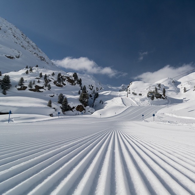
Kaunertal by tourist offical
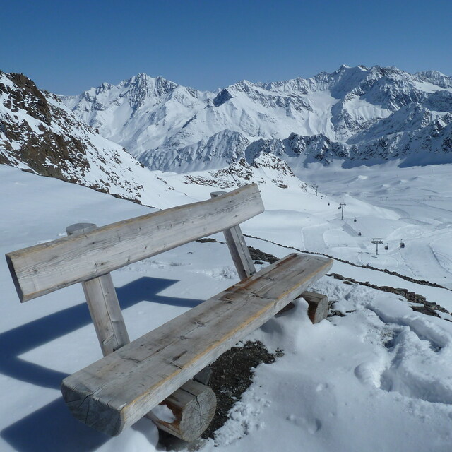
3.108 m by Jacek
Otras estaciones en Austria están reportando: Nieve en polvo (0) / buena pista (3)
La tabla anterior muestra el pronóstico de tiempo para Kaunertal en la altitud específica de 2692 m. Nuestros modelos meteorológicos sofisticados permiten prever pronósticos para la cumbre, la mitad y la base de Kaunertal. Para aceder a los pronósticos de tiempo a otras alturas, pinche en la navegación en la parte superior de la tabla. Para una visión general, consulte el Mapa meteorológico de Austria.
Pinche aquí para más información sobre niveles de congelación y sobre cómo pronosticamos las temperaturas.
Comentarios de Visitantes para Kaunertal
Generalmente 3.9 En base a 7 votos y 2 comentarios
- Nieve segura
- Variedad de pistas
- Voto
- Jon+Tom de Ireland escribe:
Awesome place, great crowd-free pistes and some off piste action. Drive up would get boring after a week but amazing, especially in avalanche season! Real high mountain feel, go for a pizza at Andreas's in Feichten on way back. Reasonable prices, you can always go to Fendels for a change.
Comentarios de Visitantes para Kaunertal
Jon+Tom de Ireland escribe:
Awesome place, great crowd-free pistes and some off piste action. Drive up would get boring after a week but amazing, especially in avalanche season! Real high mountain feel, go for a pizza at Andreas's in Feichten on way back.
Reasonable prices, you can always go to Fendels for a change.
Lea 1 otras críticas de Kaunertal o entrega su propio comentario
Gratis Snow-Forecast.com Widget del Tiempo para su sitio web
El widget del tiempo para esquiar para Kaunertal está disponible para ser empotrado en sitios web externos sin costo alguno. Proporciona un resumen diario de nuestro pronóstico de nieve en Kaunertal y estados de tiempo actuales. Vaya simplemente a la página para su configuración y siga los 3 pasos sencillos. Tome el código de transferencia del hipertexto y péguelo en su propio sitio web. Puede escoger la elevación en el pronóstico de nieve (cumbre, ascensor de medio-montaña o fondo) y unidades métrico/imperiales para el motor del pronóstico de nieve y convenir su propio website…. Click aquí para obtener el código
Panorama detallado del Pronóstico de Nieve para Kaunertal en:
snow-forecast.com

 Nearest