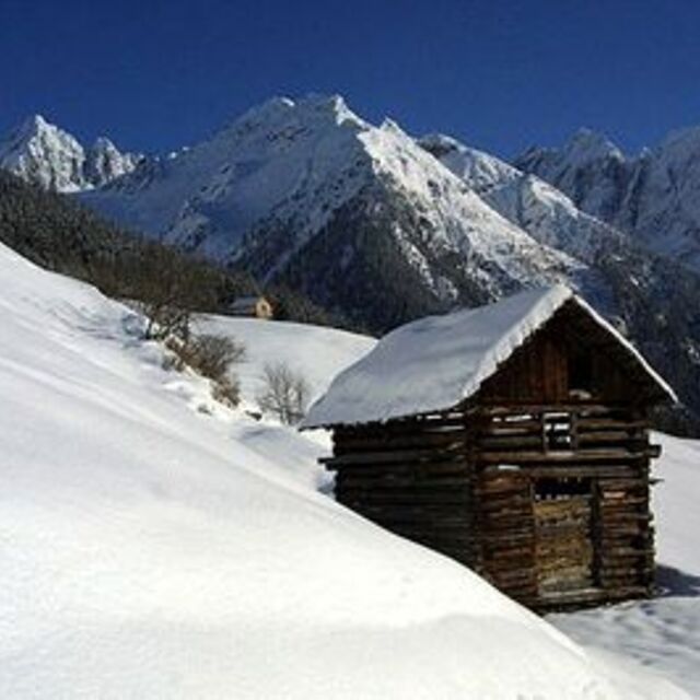
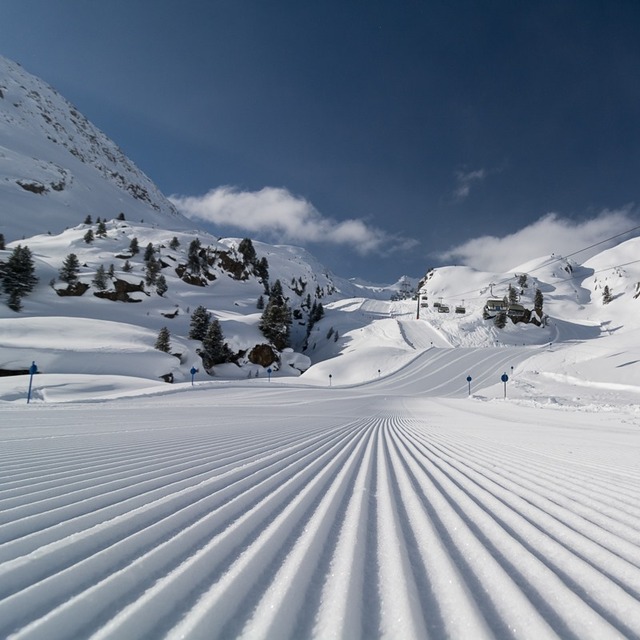
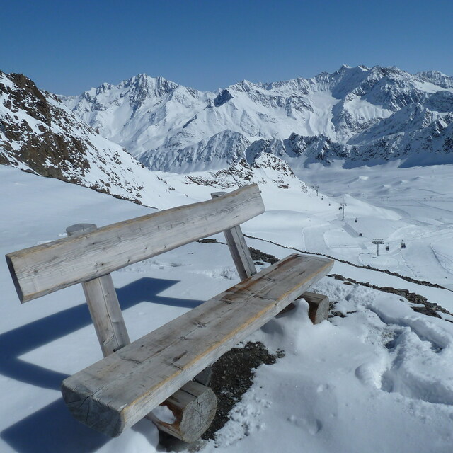
Previsión meteorológica para Kaunertal en2224m altitud
Emitido: 7 am 31 Jul 2026 (hora local)
Previsión de nieve actualizada en hora Min
View forecast
Kaunertalat 2224 m altitud
Emitido por Snow-Forescast.com a:7 am (hora local) / 31 Jul 2026
Últimos 6 díasDesplázate a la izquierda para los últimos 6 díasAhora
Next 3 days weather summary:
Fuerte lluvia (totál 47.0mm), más pesada durante la noche del viernes. Cálido (max 21°C el viernes por la tarde, min 10°C el viernes por la noche). El viento será generalmente ligero.
Días 4-6 Resúmen del Tiempo para Kaunertal
Fuerte lluvia (totál 24.0mm), más pesada durante la noche de martes. Cálido (max 20°C el miércoles por la tarde, min 11°C el martes por la noche). El viento será generalmente ligero.
La tabla anterior muestra el pronóstico de tiempo para Kaunertal en la altitud específica de 2224 m. Nuestros modelos meteorológicos sofisticados permiten prever pronósticos para la cumbre, la mitad y la base de Kaunertal. Para aceder a los pronósticos de tiempo a otras alturas, pinche en la navegación en la parte superior de la tabla. Para una visión general, consulte el Mapa meteorológico de Austria.
Pinche aquí para más información sobre niveles de congelación y sobre cómo pronosticamos las temperaturas.
Comentarios de Visitantes para Kaunertal
Generalmente 3.9 En base a 17 votos y 2 comentarios
The first big advantage of the Kaunertal is the ability to drive with your
car up to 2750m, directly to the glacier. The drive from Feichten (last town)
to the glacier is about 30km, beautiful landscapes and a huge lake included.
The ski resorts offers everything for a beginner and an expert. A great funpark
for snowboarder (beginner and experts), a halfpipe and obstacles. There are six surface lifts and two chair lifts (down to 2150m). So you are able to carve down
from 3162m to 2150m on one piece, great!
The next big thing is, that there are no masses of tourists and the tracks are
shaped nearly daily.
My favorite resort,
wiesi
http://www.mysnowboard.de
Generalmente: 3.9 En base a 17 votos y 2 comentarios
Nieve segura
5.0
Variedad de pistas
4.1
Fuera de pista
4.0
Escenografía
4.3
Después del esquí
2.4
wiesi de Germany escribe:
The first big advantage of the Kaunertal is the ability to drive with your
car up to 2750m, directly to the glacier. The drive from Feichten (last town)
to the glacier is about 30km, beautiful landscapes and a huge lake included.
The ski resorts offers everything for a beginner and an expert. A great funpark
for snowboarder (beginner and experts), a halfpipe and obstacles. There are six surface lifts and two chair lifts (down to 2150m). So you are able to carve down
from 3162m to 2150m on one piece, great!
The next big thing is, that there are no masses of tourists and the tracks are
shaped nearly daily.
My favorite resort,
wiesi
http://www.mysnowboard.de
Gratis Snow-Forecast.com Widget del Tiempo para su sitio web
El widget del tiempo para esquiar para Kaunertal está disponible para ser empotrado en sitios web externos sin costo alguno. Proporciona un resumen diario de nuestro pronóstico de nieve en Kaunertal y estados de tiempo actuales. Vaya simplemente a la página para su configuración y siga los 3 pasos sencillos. Tome el código de transferencia del hipertexto y péguelo en su propio sitio web. Puede escoger la elevación en el pronóstico de nieve (cumbre, ascensor de medio-montaña o fondo) y unidades métrico/imperiales para el motor del pronóstico de nieve y convenir su propio website…. Click aquí para obtener el código


 Nearest