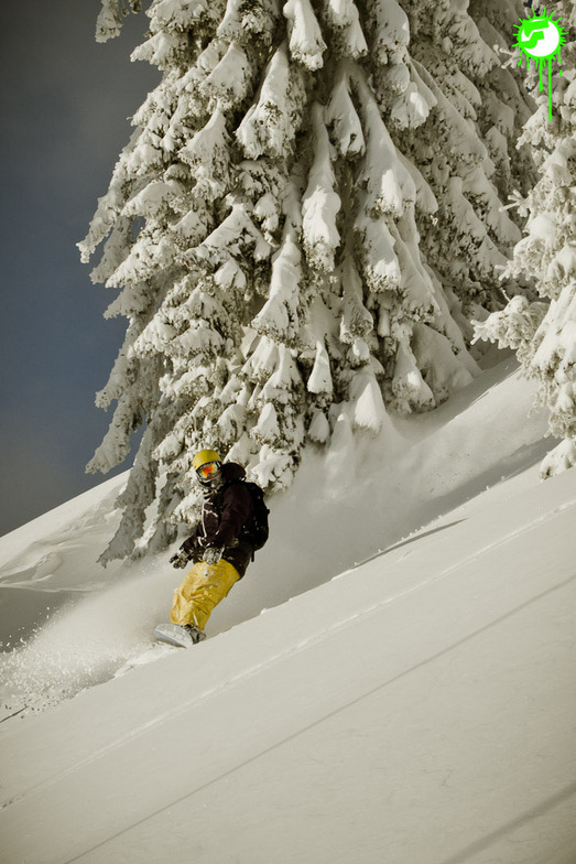


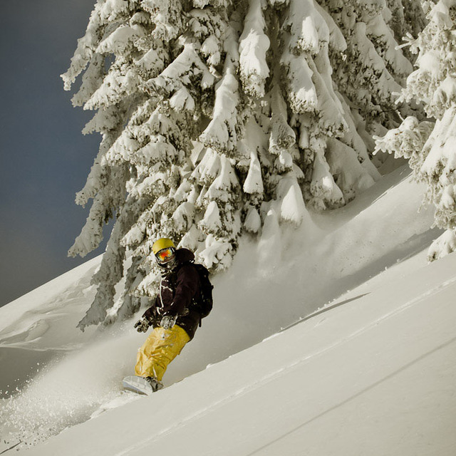
Portillo Storm Snowfall Total Passes 5m / 17 Feet
A snow storm that has now continued for nine days has taken Chilean ski resort Portillo to a snowfall total of 5.2 metres (17 feet) so far, with more snow forecast.

Next 3 days weather summary:Lluvia moderada (totál 13.0mm), más pesada el miércoles por la noche. Cálido (max 22°C el jueves por la tarde, min 15°C el viernes por la noche). El viento será generalmente ligero. | Días 4-6 Resúmen del Tiempo para Hopfgarten (SkiWelt)Lluvia moderada (totál 14.0mm), más pesada el sábado por la noche. Cálido (max 20°C el domingo por la tarde, min 14°C el sábado por la noche). El viento será generalmente ligero. | |||||||||||||||||
miércoles 29 | jueves 30 | viernes 31 | sábado 1 | domingo 2 | lunes 3 | |||||||||||||
mañana | tarde | noche | mañana | tarde | noche | mañana | tarde | noche | mañana | tarde | noche | mañana | tarde | noche | mañana | tarde | noche | |
claro | riesgo truenos | chuba scos | claro | claro | claro | claro | chuba scos | chuba scos | semi nublado | chuba scos | chuba scos | claro | semi nublado | claro | semi nublado | semi nublado | chuba scos | |
km/h | ||||||||||||||||||
Mapa de Nieve |  |  |  |  |  |  | ||||||||||||
— | — | — | — | — | — | — | — | — | — | — | — | — | — | — | — | — | — | |
mm | — | 2 | 7 | — | — | — | — | 2 | 2 | — | 4 | 6 | — | — | — | — | — | 4 |
max °C | 17 | 20 | 18 | 19 | 22 | 21 | 20 | 21 | 18 | 17 | 19 | 16 | 17 | 20 | 19 | 19 | 20 | 18 |
min °C | 17 | 19 | 16 | 18 | 21 | 17 | 19 | 18 | 15 | 16 | 15 | 14 | 16 | 20 | 18 | 18 | 20 | 16 |
chill °C | 17 | 19 | 16 | 18 | 21 | 17 | 19 | 18 | 15 | 16 | 15 | 13 | 16 | 20 | 18 | 18 | 20 | 16 |
Humed. % | 58 | 53 | 49 | 41 | 30 | 44 | 41 | 49 | 64 | 55 | 66 | 57 | 51 | 51 | 50 | 48 | 50 | 48 |
Altura de Hielo m | 4400 | 4500 | 4300 | 4350 | 4650 | 4500 | 4650 | 4600 | 4550 | 4400 | 4500 | 4400 | 4550 | 4700 | 4700 | 4550 | 4650 | 4600 |
5:43 | — | — | 5:45 | — | — | 5:47 | — | — | 5:48 | — | — | 5:48 | — | — | 5:50 | — | — | |
— | — | 8:50 | — | — | 8:47 | — | — | 8:46 | — | — | 8:45 | — | — | 8:44 | — | — | 8:43 | |
Hazte pro y carve en:
Información de avalanchas: European Avalanche Warning Services (EAWS)
Ultimo parte de nieve cerca Hopfgarten (SkiWelt):
| Profundidad de nieve arriba: | — |
|---|---|
| Profundidad de nieve abajo: | — |
| Profundidad de la nevada fresca: | — |
| Última nevada: | 16 May 2026 |
0.0 | Dias de Nieve en Polvo Nieve fresca, mayormente soleado, viento suave. |
|---|---|
0.0 | Dias de nieve en polvo Nieve fresca, sol limitado, sin viento. |
0.0 | Dia perfecto para esquiar Nieve promedio, mayormente soleado, viento suave. |
La tabla anterior muestra el pronóstico de tiempo para Hopfgarten (SkiWelt) en la altitud específica de 1957 m. Nuestros modelos meteorológicos sofisticados permiten prever pronósticos para la cumbre, la mitad y la base de Hopfgarten (SkiWelt). Para aceder a los pronósticos de tiempo a otras alturas, pinche en la navegación en la parte superior de la tabla. Para una visión general, consulte el Mapa meteorológico de Austria.
Pinche aquí para más información sobre niveles de congelación y sobre cómo pronosticamos las temperaturas.
Nombre de la estación también escrito como Hopfgarten.
Generalmente 4.5 En base a 2 votos y 5 comentarios
Hopfgarten, the absolute top resort. I have been going there for years, never had a bad ski trip yet. Loads of resorts within easy reach, ski somewhere different each day if you like: skiing at Brixen is an absolute legend, Westendorf great for beginners; something for everybody. Nightlife can be quiet but it is there if you know where to look. Intersport ski hire shop is the tops, great staff, really good hire equipment. Going again at half term Feb, got all my kit ready to go, really looking forward to it as usual. Alan
Alan Willis de United Kingdom escribe:
Hopfgarten, the absolute top resort. I have been going there for years, never had a bad ski trip yet. Loads of resorts within easy reach, ski somewhere different each day if you like: skiing at Brixen is an absolute legend, Westendorf great for beginners; something for everybody. Nightlife can be quiet but it is there if you know where to look. Intersport ski hire shop is the tops, great staff, really good hire equipment. Going again at half term Feb, got all my kit ready to go, really looking forward to it as usual.
Alan
Lea 4 otras críticas de Hopfgarten (SkiWelt) o entrega su propio comentario


 Nearest