

Portillo Storm Snowfall Total Passes 5m / 17 Feet
A snow storm that has now continued for nine days has taken Chilean ski resort Portillo to a snowfall total of 5.2 metres (17 feet) so far, with more snow forecast.

Next 3 days weather summary:Lluvia moderada (totál 19.0mm), más pesada el viernes por la noche. Muy templado (max 17°C el jueves por la tarde, min 11°C el sábado por la noche). El viento será generalmente ligero. | Días 4-6 Resúmen del Tiempo para GrindelwaldFuerte lluvia (totál 28.0mm), más pesada durante la noche de martes. Muy templado (max 15°C el domingo por la tarde, min 10°C el martes por la tarde). El viento será generalmente ligero. | |||||||||||||||||
jueves 30 | viernes 31 | sábado 1 | domingo 2 | lunes 3 | martes 4 | |||||||||||||
mañana | tarde | noche | mañana | tarde | noche | mañana | tarde | noche | mañana | tarde | noche | mañana | tarde | noche | mañana | tarde | noche | |
claro | semi nublado | semi nublado | claro | riesgo truenos | chuba scos | riesgo truenos | riesgo truenos | chuba scos | claro | llovizna | chuba scos | chuba scos | llovizna | chuba scos | riesgo truenos | riesgo truenos | chuba scos | |
km/h | ||||||||||||||||||
Mapa de Nieve |  |  |  |  |  |  | ||||||||||||
— | — | — | — | — | — | — | — | — | — | — | — | — | — | — | — | — | — | |
mm | — | — | — | — | 4 | 6 | 3 | 4 | 2 | — | 1 | 2 | 1 | 3 | 3 | 3 | 6 | 9 |
max °C | 15 | 17 | 15 | 16 | 15 | 13 | 12 | 13 | 12 | 13 | 15 | 14 | 14 | 14 | 13 | 12 | 12 | 11 |
min °C | 13 | 17 | 14 | 15 | 12 | 12 | 12 | 12 | 11 | 12 | 14 | 13 | 13 | 13 | 11 | 11 | 10 | 10 |
chill °C | 13 | 17 | 14 | 15 | 12 | 10 | 12 | 12 | 11 | 12 | 14 | 13 | 13 | 13 | 10 | 11 | 10 | 9 |
Humed. % | 31 | 33 | 47 | 44 | 84 | 60 | 69 | 73 | 52 | 46 | 61 | 66 | 57 | 66 | 68 | 77 | 70 | 73 |
Altura de Hielo m | 4500 | 4700 | 4750 | 4600 | 4300 | 4450 | 4300 | 4350 | 4500 | 4450 | 4550 | 4500 | 4500 | 4450 | 4350 | 4100 | 4200 | 4150 |
6:05 | — | — | 6:05 | — | — | 6:07 | — | — | 6:07 | — | — | 6:09 | — | — | 6:11 | — | — | |
— | — | 9:01 | — | — | 9:00 | — | — | 9:00 | — | — | 8:58 | — | — | 8:57 | — | — | 8:55 | |
Hazte pro y carve en:
Información de avalanchas: European Avalanche Warning Services (EAWS)
Ultimo parte de nieve cerca Grindelwald:
| Profundidad de nieve arriba: | 0 cm |
|---|---|
| Profundidad de nieve abajo: | 0 cm |
| Profundidad de la nevada fresca: | — |
| Última nevada: | 16 May 2026 |
0.0 | Dias de Nieve en Polvo Nieve fresca, mayormente soleado, viento suave. |
|---|---|
0.1 | Dias de nieve en polvo Nieve fresca, sol limitado, sin viento. |
0.0 | Dia perfecto para esquiar Nieve promedio, mayormente soleado, viento suave. |
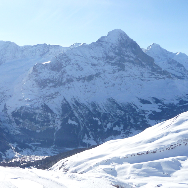
La tabla anterior muestra el pronóstico de tiempo para Grindelwald en la altitud específica de 2473 m. Nuestros modelos meteorológicos sofisticados permiten prever pronósticos para la cumbre, la mitad y la base de Grindelwald. Para aceder a los pronósticos de tiempo a otras alturas, pinche en la navegación en la parte superior de la tabla. Para una visión general, consulte el Mapa meteorológico de Switzerland.
Pinche aquí para más información sobre niveles de congelación y sobre cómo pronosticamos las temperaturas.
Generalmente 4.4 En base a 37 votos y 13 comentarios
Very disappointed with Grindelwald. It feels like a cheap tourist village but with exorbitant costs. Not value for money and not worth it. Full of non-skiing Asian tourists who clog up the lift systems for insta opportunities. If you manage to get on the mountain the skiing is ok but very crowded. People skiing far too fast on blue runs. Better options in Austria in my opinion and better value for money.
Dan de United Arab Emirates escribe:
Very disappointed with Grindelwald. It feels like a cheap tourist village but with exorbitant costs. Not value for money and not worth it. Full of non-skiing Asian tourists who clog up the lift systems for insta opportunities.
If you manage to get on the mountain the skiing is ok but very crowded. People skiing far too fast on blue runs. Better options in Austria in my opinion and better value for money.
Lea 12 otras críticas de Grindelwald o entrega su propio comentario


 Nearest