

America’s Next Indoor Snow Centre Takes Shape
Construction of a new indoor snow centre for skiers, boarders and tubers appears to be making good progress at Heritage Farm in Wayne County, West Virginia.

Next 3 days weather summary:Primero templado con lluvia ligera (totál 9.0mm) el jueves por la noche seguido por tiempo más frío y una caída ligera de nieve, más pesada el viernes por la noche. condiciones de congelación y descongelación (max 2°C el jueves por la noche, min -5°C el viernes por la noche). Vientos crecientes (Vientos ligeros desde el ONO el miércoles por la mañana, vientos fuertes desde el NO por la noche de jueves). | Días 4-6 Resúmen del Tiempo para CraigieburnNueva capa fina de nieve, cayendo mayormente el sábado por la noche. condiciones de congelación y descongelación (max 1°C el lunes por la noche, min -8°C el domingo por la mañana). El viento será generalmente ligero. | |||||||||||||||||
miércoles 22 | jueves 23 | viernes 24 | sábado 25 | domingo 26 | lunes 27 | |||||||||||||
mañana | tarde | noche | mañana | tarde | noche | mañana | tarde | noche | mañana | tarde | noche | mañana | tarde | noche | mañana | tarde | noche | |
nubl ado | semi nublado | nubl ado | nubl ado | nieve ligera | nieve ligera | nevadas | nieve ligera | nieve ligera | nieve ligera | nieve ligera | nieve ligera | nieve ligera | nevadas | semi nublado | claro | claro | claro | |
km/h | ||||||||||||||||||
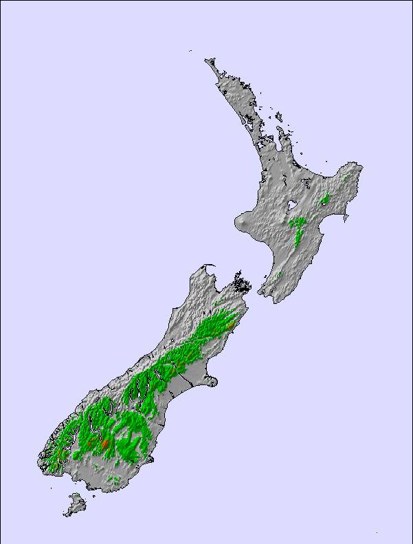
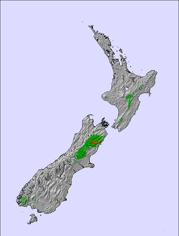
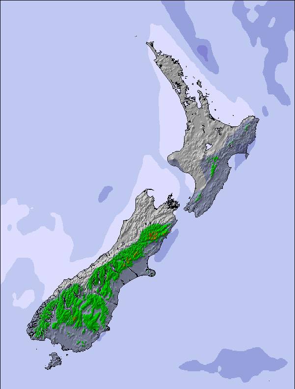
Mapa de Nieve | 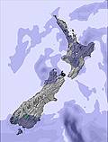 | 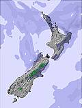 |  |  | 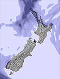 | 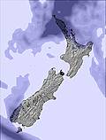 | ||||||||||||
— | — | — | — | — | 3 | — | 4 | 5 | 1 | — | 3 | 3 | — | — | — | — | — | |
mm | — | — | — | — | — | 8 | 1 | — | — | — | — | — | — | — | — | — | — | — |
max °C | 0 | 1 | 1 | 1 | 1 | 2 | 2 | 0 | -2 | -6 | -5 | -6 | -7 | -7 | -5 | -5 | -2 | 1 |
min °C | 0 | 1 | 0 | 1 | 1 | 1 | 1 | -1 | -5 | -6 | -5 | -7 | -8 | -7 | -6 | -5 | -4 | -1 |
chill °C | -3 | -1 | -4 | -4 | -6 | -6 | -5 | -6 | -10 | -10 | -9 | -10 | -14 | -13 | -11 | -10 | -8 | -5 |
Humed. % | 90 | 85 | 83 | 72 | 85 | 89 | 69 | 94 | 94 | 96 | 79 | 95 | 96 | 77 | 36 | 37 | 50 | 55 |
Altura de Hielo m | 1750 | 1800 | 1600 | 2050 | 1800 | 1950 | 2100 | 1600 | 1250 | 650 | 800 | 550 | 550 | 700 | 0 | 200 | 1050 | 1650 |
7:56 | — | — | 7:54 | — | — | 7:54 | — | — | 7:52 | — | — | 7:52 | — | — | 7:50 | — | — | |
— | 5:22 | — | — | 5:23 | — | — | 5:24 | — | — | 5:25 | — | — | 5:27 | — | — | 5:28 | — | |
Hazte pro y carve en:
Información de avalanchas: New Zealand Avalanche Advisory
Ultimo parte de nieve cerca Craigieburn:
| Profundidad de nieve arriba: | — |
|---|---|
| Profundidad de nieve abajo: | — |
| Profundidad de la nevada fresca: | — |
| Última nevada: | 15 Jul 2026 |
0.7 | Dias de Nieve en Polvo Nieve fresca, mayormente soleado, viento suave. |
|---|---|
1.1 | Dias de nieve en polvo Nieve fresca, sol limitado, sin viento. |
1.4 | Dia perfecto para esquiar Nieve promedio, mayormente soleado, viento suave. |
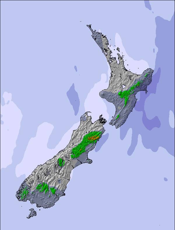
La tabla anterior muestra el pronóstico de tiempo para Craigieburn en la altitud específica de 1672 m. Nuestros modelos meteorológicos sofisticados permiten prever pronósticos para la cumbre, la mitad y la base de Craigieburn. Para aceder a los pronósticos de tiempo a otras alturas, pinche en la navegación en la parte superior de la tabla. Para una visión general, consulte el Mapa meteorológico de New Zealand.
Pinche aquí para más información sobre niveles de congelación y sobre cómo pronosticamos las temperaturas.
Generalmente 3.2 En base a 8 votos y 3 comentarios
Hi Snow-Forecast team, you have a great site and we use it often. As some more information, Craigieburn and Broken River ski areas are next door neighbours!! It's an easy ski over to Broken River from Hamilton Col at Craigieburn (5/10 minutes, depending on conditions) and a 1/2-1hour walk (once again, depending on conditions) back along the ridge line from Broken River to Craigieburn. So in essence, Craigieburn and Broken River are the closest resorts to each other!! In fact on a topo map our main lifts are 2km apart!! Hope this is of some use.
Nick Jarman de New Zealand escribe:
Hi Snow-Forecast team, you have a great site and we use it often.
As some more information, Craigieburn and Broken River ski areas are next door neighbours!! It's an easy ski over to Broken River from Hamilton Col at Craigieburn (5/10 minutes, depending on conditions) and a 1/2-1hour walk (once again, depending on conditions) back along the ridge line from Broken River to Craigieburn. So in essence, Craigieburn and Broken River are the closest resorts to each other!! In fact on a topo map our main lifts are 2km apart!!
Hope this is of some use.
Lea 2 otras críticas de Craigieburn o entrega su propio comentario

 Nearest