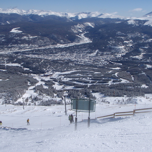
Previsión meteorológica para Breckenridge en3913m altitud
Emitido: 5 pm 02 Aug 2026 (hora local)
Previsión de nieve actualizada en hora Min
View forecast
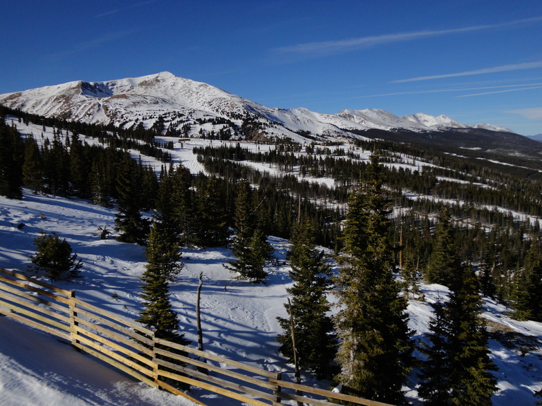
Breckenridgeat 3913 m altitud
Emitido por Snow-Forescast.com a:5 pm (hora local) / 02 Aug 2026
Últimos 6 díasDesplázate a la izquierda para los últimos 6 díasAhora
Next 3 days weather summary:
Mayormente seco. Muy templado (max 17°C el domingo por la tarde, min 3°C el lunes por la noche). Vientos crecientes (calma el lunes por la noche, vientos frescos desde el ONO por la mañana de miércoles).
Días 4-6 Resúmen del Tiempo para Breckenridge
Mayormente seco. Muy templado (max 17°C el viernes por la tarde, min 3°C el miércoles por la noche). El viento será generalmente ligero.
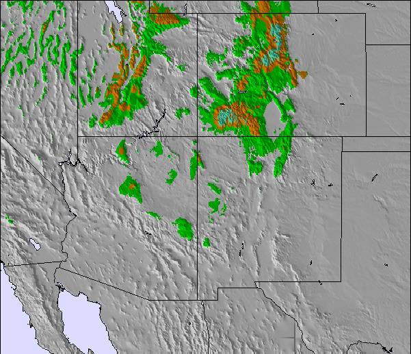
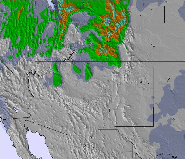
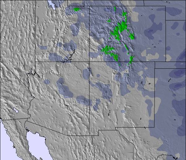
La tabla anterior muestra el pronóstico de tiempo para Breckenridge en la altitud específica de 3913 m. Nuestros modelos meteorológicos sofisticados permiten prever pronósticos para la cumbre, la mitad y la base de Breckenridge. Para aceder a los pronósticos de tiempo a otras alturas, pinche en la navegación en la parte superior de la tabla. Para una visión general, consulte el Mapa meteorológico de United States.
Pinche aquí para más información sobre niveles de congelación y sobre cómo pronosticamos las temperaturas.
Comentarios de Visitantes para Breckenridge
Generalmente 4.3 En base a 21 votos y 9 comentarios
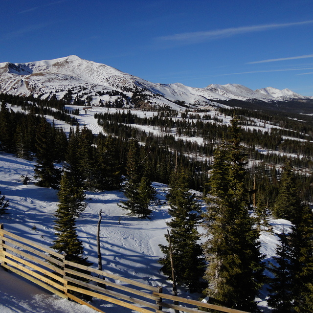
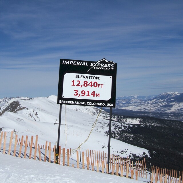
Had a work trip to Denver in early April and took the chance to ski two days in Breckenridge. It's about 1,5 hrs from Denver but more on the way back Sunday evening so take care if rushing for a plane. Lift passes are expensive compared to my favorite Pyrenees haunts and ski hire can also be expensive. Breckenridge has four mountain peaks: 7-10. Take the lift from the parking and go to peak 7 for some excellent long blues. Peak 8 is mixed blues, black diamonds and double blacks. Peak 9 has a beginners area and mixed blus/blacks. Peak 10 is advanced and the moguls can be hard on the back as they are deep. Altitude can be a problem as top lift can get to 14500 ft. Some tips: stay in nearby Frisco, it's cheaper and hire skis there and take the bus over. It can save you lots. Ski conditions are generally excellent with much soft dry snow.. but it can get cold. Breckenridge gets crowded at weekends but lots of varied skiing.
Generalmente: 4.3 En base a 21 votos y 9 comentarios
Nieve segura
4.9
Variedad de pistas
4.9
Fuera de pista
4.5
Escenografía
4.8
Después del esquí
4.2
Tony Pembroke de Ireland escribe:
Had a work trip to Denver in early April and took the chance to ski two days in Breckenridge. It's about 1,5 hrs from Denver but more on the way back Sunday evening so take care if rushing for a plane. Lift passes are expensive compared to my favorite Pyrenees haunts and ski hire can also be expensive. Breckenridge has four mountain peaks: 7-10. Take the lift from the parking and go to peak 7 for some excellent long blues. Peak 8 is mixed blues, black diamonds and double blacks. Peak 9 has a beginners area and mixed blus/blacks. Peak 10 is advanced and the moguls can be hard on the back as they are deep. Altitude can be a problem as top lift can get to 14500 ft. Some tips: stay in nearby Frisco, it's cheaper and hire skis there and take the bus over. It can save you lots. Ski conditions are generally excellent with much soft dry snow.. but it can get cold. Breckenridge gets crowded at weekends but lots of varied skiing.
Gratis Snow-Forecast.com Widget del Tiempo para su sitio web
El widget del tiempo para esquiar para Breckenridge está disponible para ser empotrado en sitios web externos sin costo alguno. Proporciona un resumen diario de nuestro pronóstico de nieve en Breckenridge y estados de tiempo actuales. Vaya simplemente a la página para su configuración y siga los 3 pasos sencillos. Tome el código de transferencia del hipertexto y péguelo en su propio sitio web. Puede escoger la elevación en el pronóstico de nieve (cumbre, ascensor de medio-montaña o fondo) y unidades métrico/imperiales para el motor del pronóstico de nieve y convenir su propio website…. Click aquí para obtener el código


 Nearest