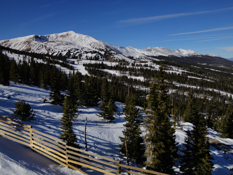
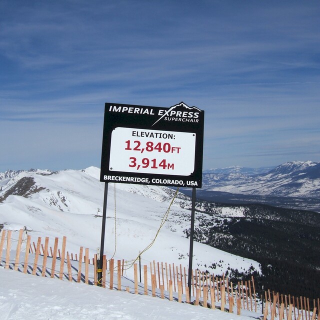
Previsión meteorológica para Breckenridge en2925m altitud
Emitido: 11 am 15 Jul 2026 (hora local)
Previsión de nieve actualizada en hora Min
View forecast
Breckenridgeat 2925 m altitud
Emitido por Snow-Forescast.com a:11 am (hora local) / 15 Jul 2026
Últimos 6 díasDesplázate a la izquierda para los últimos 6 díasAhora
Next 3 days weather summary:
Lluvia moderada (totál 11.0mm), más pesada el jueves por la tarde. Cálido (max 24°C el miércoles por la mañana, min 9°C el miércoles por la noche). El viento será generalmente ligero.
Días 4-6 Resúmen del Tiempo para Breckenridge
Fuerte lluvia (totál 61.0mm), más pesada durante la noche de lunes. Cálido (max 25°C el domingo por la mañana, min 10°C el sábado por la noche). El viento será generalmente ligero.
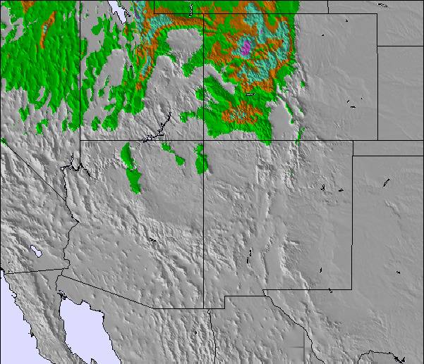
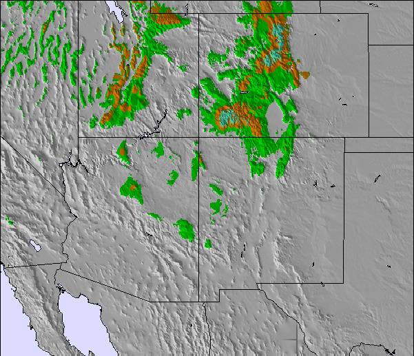
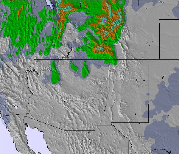
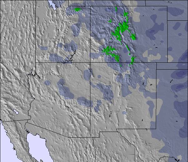
La tabla anterior muestra el pronóstico de tiempo para Breckenridge en la altitud específica de 2925 m. Nuestros modelos meteorológicos sofisticados permiten prever pronósticos para la cumbre, la mitad y la base de Breckenridge. Para aceder a los pronósticos de tiempo a otras alturas, pinche en la navegación en la parte superior de la tabla. Para una visión general, consulte el Mapa meteorológico de United States.
Pinche aquí para más información sobre niveles de congelación y sobre cómo pronosticamos las temperaturas.
Comentarios de Visitantes para Breckenridge
Generalmente 4.3 En base a 21 votos y 9 comentarios
Breckenridge is a great mountain and wonderful if you have kids. The terrain parks are great and the adventure forests are heaps of fun. Unfortunately, snow was ordinary and lots of rocks and trees around. Second year running that we hit poor snow conditions in the USA (went to Heavenly last January). Still the runs are great and lots of variety. Beware of the altitude..it really does hit you for six and it's quite scary not getting enough oxygen. The altitude will probably mean other Colorado resorts in the future. Don't forget to check out the Silverthorne outlets as they are great. Foodwise all was great..went to Lucha, Breck Brewery (go for the 3-6 happy hour) and Quandary Grill (2 for 1 burgers on Tues that are awesome).
Generalmente: 4.3 En base a 21 votos y 9 comentarios
Nieve segura
4.9
Variedad de pistas
4.9
Fuera de pista
4.5
Escenografía
4.8
Después del esquí
4.2
Megan Saville de Australia escribe:
Breckenridge is a great mountain and wonderful if you have kids. The terrain parks are great and the adventure forests are heaps of fun. Unfortunately, snow was ordinary and lots of rocks and trees around. Second year running that we hit poor snow conditions in the USA (went to Heavenly last January). Still the runs are great and lots of variety. Beware of the altitude..it really does hit you for six and it's quite scary not getting enough oxygen. The altitude will probably mean other Colorado resorts in the future. Don't forget to check out the Silverthorne outlets as they are great. Foodwise all was great..went to Lucha, Breck Brewery (go for the 3-6 happy hour) and Quandary Grill (2 for 1 burgers on Tues that are awesome).
Gratis Snow-Forecast.com Widget del Tiempo para su sitio web
El widget del tiempo para esquiar para Breckenridge está disponible para ser empotrado en sitios web externos sin costo alguno. Proporciona un resumen diario de nuestro pronóstico de nieve en Breckenridge y estados de tiempo actuales. Vaya simplemente a la página para su configuración y siga los 3 pasos sencillos. Tome el código de transferencia del hipertexto y péguelo en su propio sitio web. Puede escoger la elevación en el pronóstico de nieve (cumbre, ascensor de medio-montaña o fondo) y unidades métrico/imperiales para el motor del pronóstico de nieve y convenir su propio website…. Click aquí para obtener el código


 Nearest