Nueva capa fina de nieve el sábado por la noche pasado a llovizna el domingo por la mañana. condiciones de congelación y descongelación (max 4°C el martes por la tarde, min -5°C el domingo por la noche). El viento será generalmente ligero.
Días 5-7 Resúmen del Tiempo para Wolf Creek Ski Area
Mayormente seco. condiciones de congelación y descongelación (max 4°C el miércoles por la mañana, min -3°C el martes por la noche). El viento será generalmente ligero.
Thunderstorm moderate snow reported from Wolf Creek Pass Airport at 11010 feet only 2 miles SSW of Wolf Creek Ski Area but it is probably falling as rain apart from near the top of the ski area desde Wolf Creek Ski Area
0km lejos desde Wolf Creek Ski Area
Hace 13 hour
Moderate snow reported from Wolf Creek Pass Airport at 11010 feet only 2 miles SSW of Wolf Creek Ski Area but it is probably falling as rain apart from near the top of the ski area desde Wolf Creek Ski Area
0km lejos desde Wolf Creek Ski Area
Hace 18 hour
Thunderstorm moderate snow reported from Wolf Creek Pass Airport at 11010 feet only 2 miles SSW of Wolf Creek Ski Area but it is probably falling as rain at the bottom of the ski area desde Wolf Creek Ski Area
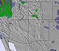
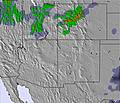
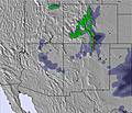
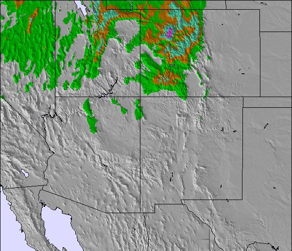
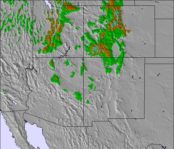
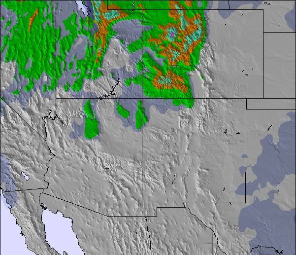
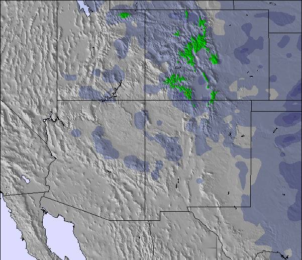
La tabla anterior muestra el pronóstico de tiempo para Wolf Creek Ski Area en la altitud específica de 3384 m. Nuestros modelos meteorológicos sofisticados permiten prever pronósticos para la cumbre, la mitad y la base de Wolf Creek Ski Area. Para aceder a los pronósticos de tiempo a otras alturas, pinche en la navegación en la parte superior de la tabla. Para una visión general, consulte el Mapa meteorológico de United States.
Pinche aquí para más información sobre niveles de congelación y sobre cómo pronosticamos las temperaturas.
Comentarios de Visitantes para Wolf Creek Ski Area
Generalmente 3.3 En base a 15 votos y 3 comentarios
Rode Wolfy (Wolf Creek Ski Area) w/ 24"+ and the snow was gorgeous: light, deep, and fun. The top of the entire mountain is a great playground with easy hikes to sick terrain, anything from steep glades to fun cornices to gnarly cliff hucks. But after the first 600-800 vertical feet, it becomes quite shallow in pitch and there are tons of holes or "flat-tracks". Not such a big deal for skiers but boarders are constantly skating to make it back to the lift.
The glades below the rim can be fun if you keep your speed up, but considering they get the killer POW often you really have to work it, and there is no getting around the 'flat-tracks' to get you back to the lift. The Waterfall area is below the rim and has some great features but again, you will be skating or hiking out.
Great snow, some great terrain, but overall lacking in a consistent vert and steep pitch to keep you smiling from top to bottom, the smile fades the further down the hill you go (unless you drop into the Waterfall area, but then it fades quickly as you hike/skate out of a hole). Cat tracks should now go uphill, and several here do.
Not whining, just speaking as I find. Too much work to get out of runs, and if you don't hike the ridge it wouldn't be worth it IMHO.
Comentarios de Visitantes para Wolf Creek Ski Area
Generalmente: 3.3 En base a 15 votos y 3 comentarios
Nieve segura
4.2
Variedad de pistas
4.5
Fuera de pista
4.2
Escenografía
3.6
Después del esquí
3.4
snowavedave de United States escribe:
Rode Wolfy (Wolf Creek Ski Area) w/ 24"+ and the snow was gorgeous: light, deep, and fun. The top of the entire mountain is a great playground with easy hikes to sick terrain, anything from steep glades to fun cornices to gnarly cliff hucks. But after the first 600-800 vertical feet, it becomes quite shallow in pitch and there are tons of holes or "flat-tracks". Not such a big deal for skiers but boarders are constantly skating to make it back to the lift.
The glades below the rim can be fun if you keep your speed up, but considering they get the killer POW often you really have to work it, and there is no getting around the 'flat-tracks' to get you back to the lift. The Waterfall area is below the rim and has some great features but again, you will be skating or hiking out.
Great snow, some great terrain, but overall lacking in a consistent vert and steep pitch to keep you smiling from top to bottom, the smile fades the further down the hill you go (unless you drop into the Waterfall area, but then it fades quickly as you hike/skate out of a hole). Cat tracks should now go uphill, and several here do.
Not whining, just speaking as I find. Too much work to get out of runs, and if you don't hike the ridge it wouldn't be worth it IMHO.
Gratis Snow-Forecast.com Widget del Tiempo para su sitio web
El widget del tiempo para esquiar para Wolf Creek Ski Area está disponible para ser empotrado en sitios web externos sin costo alguno. Proporciona un resumen diario de nuestro pronóstico de nieve en Wolf Creek Ski Area y estados de tiempo actuales. Vaya simplemente a la página para su configuración y siga los 3 pasos sencillos. Tome el código de transferencia del hipertexto y péguelo en su propio sitio web. Puede escoger la elevación en el pronóstico de nieve (cumbre, ascensor de medio-montaña o fondo) y unidades métrico/imperiales para el motor del pronóstico de nieve y convenir su propio website…. Click aquí para obtener el código





 Snow
 Pronósticos de nieve por hora y a 16 días



 Registrarse o Iniciar sesion para acceder
 Subir nueva foto

 Nearest