

America’s Next Indoor Snow Centre Takes Shape
Construction of a new indoor snow centre for skiers, boarders and tubers appears to be making good progress at Heritage Farm in Wayne County, West Virginia.

Next 3 days weather summary:Fuerte lluvia (totál 23.0mm), más pesada durante la tarde de lunes. Cálido (max 24°C el martes por la mañana, min 11°C el martes por la noche). El viento será generalmente ligero. | Días 4-6 Resúmen del Tiempo para Winter ParkLluvia ligera (totál 7.0mm), cayendo mayormente el jueves por la tarde. Cálido (max 27°C el sábado por la mañana, min 12°C el jueves por la noche). El viento será generalmente ligero. | ||||||||||||||||
lun 20 | martes 21 | miércoles 22 | jueves 23 | viernes 24 | sábado 25 | ||||||||||||
tarde | noche | mañana | tarde | noche | mañana | tarde | noche | mañana | tarde | noche | mañana | tarde | noche | mañana | tarde | noche | |
riesgo truenos | chuba scos | claro | chuba scos | chuba scos | semi nublado | riesgo truenos | lluvia mod. | chuba scos | riesgo truenos | chuba scos | claro | semi nublado | chuba scos | claro | semi nublado | chuba scos | |
km/h | |||||||||||||||||
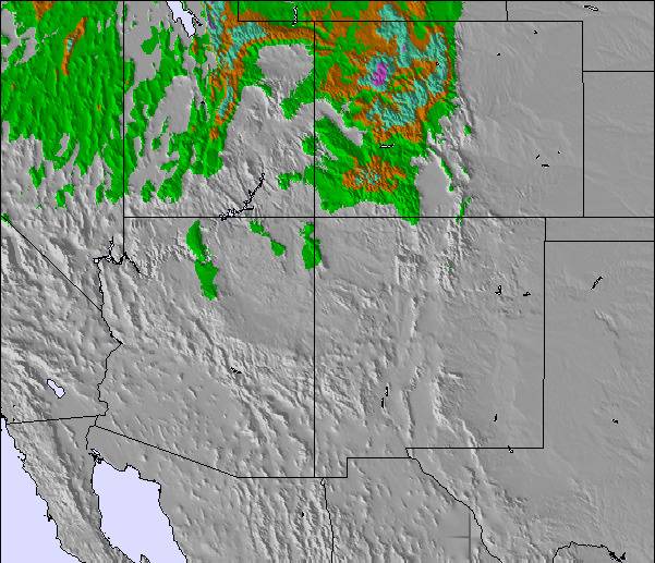
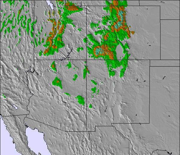
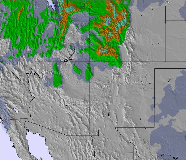
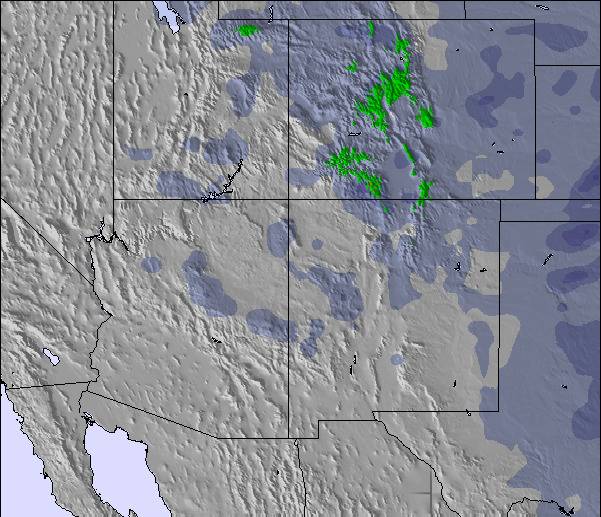
Mapa de Nieve |  |  |  |  | 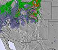 | 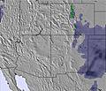 | |||||||||||
— | — | — | — | — | — | — | — | — | — | — | — | — | — | — | — | — | |
mm | 8 | 1 | — | 1 | 2 | — | 3 | 7 | 1 | 3 | 1 | — | — | 2 | — | — | 1 |
max °C | 20 | 15 | 24 | 24 | 14 | 23 | 19 | 12 | 20 | 19 | 16 | 23 | 26 | 16 | 27 | 26 | 17 |
min °C | 14 | 12 | 19 | 20 | 11 | 19 | 16 | 11 | 15 | 18 | 12 | 19 | 24 | 14 | 23 | 22 | 14 |
chill °C | 13 | 12 | 19 | 20 | 11 | 19 | 16 | 10 | 14 | 18 | 11 | 19 | 24 | 14 | 23 | 22 | 14 |
Humed. % | 47 | 60 | 53 | 33 | 68 | 53 | 58 | 92 | 78 | 62 | 66 | 52 | 23 | 49 | 33 | 26 | 54 |
Altura de Hielo m | 5750 | 5500 | 5600 | 5850 | 5450 | 5550 | 5650 | 5150 | 5300 | 5550 | 5450 | 5550 | 5900 | 5600 | 5800 | 5900 | 5550 |
— | — | 5:50 | — | — | 5:52 | — | — | 5:52 | — | — | 5:54 | — | — | 5:54 | — | — | |
8:27 | — | — | 8:25 | — | — | 8:25 | — | — | 8:24 | — | — | 8:23 | — | — | 8:22 | — | |
Hazte pro y carve en:
Información de avalanchas: Colorado Avalanche Information Center
Ultimo parte de nieve cerca Winter Park:
| Profundidad de nieve arriba: | 0 cm |
|---|---|
| Profundidad de nieve abajo: | 0 cm |
| Profundidad de la nevada fresca: | — |
| Última nevada: | 22 May 2026 |
0.0 | Dias de Nieve en Polvo Nieve fresca, mayormente soleado, viento suave. |
|---|---|
0.0 | Dias de nieve en polvo Nieve fresca, sol limitado, sin viento. |
0.0 | Dia perfecto para esquiar Nieve promedio, mayormente soleado, viento suave. |
La tabla anterior muestra el pronóstico de tiempo para Winter Park en la altitud específica de 2742 m. Nuestros modelos meteorológicos sofisticados permiten prever pronósticos para la cumbre, la mitad y la base de Winter Park. Para aceder a los pronósticos de tiempo a otras alturas, pinche en la navegación en la parte superior de la tabla. Para una visión general, consulte el Mapa meteorológico de United States.
Pinche aquí para más información sobre niveles de congelación y sobre cómo pronosticamos las temperaturas.
Generalmente 4.1 En base a 22 votos y 6 comentarios
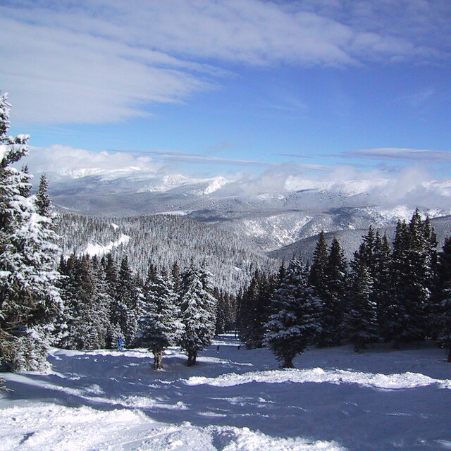
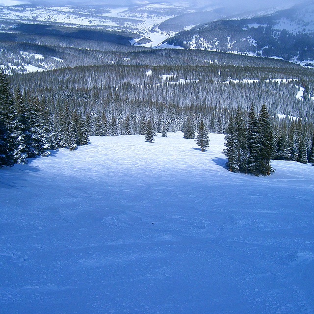
Just back from a week in Winter Park, after skiing there once before (in 2005). In short, we had forgotten just how incredible the ski area is! Fantastic snow conditions (the natives cannot begin to understand the concept of "ice" and refer to hard packed snow as such), no lift queues of more than 5 minutes - even on a UK half-term week/US bank holiday weekend (in fact, no queues at all, midweek) and a largely deserted ski area with challenging bump runs (endless, thigh burners, with the biggest moguls imaginable), incredible skiing in the trees (ranging from steady blues to ferocious - 50 degrees plus - blacks), 50 degree couloirs and chutes plus vertical open faces that you have to hike to. Oh, and lots of great cruising on immaculately groomed pistes in between! Think I'm raving about it? Well, you'd be right! If you haven't been yet, and like a ski challenge, you can't go wrong with a trip to WP! I've skied several times at numerous resorts in Colorado, Utah, California, Vermont, Wyoming and Canada - and Winter Park is most definitely up there with the best of them! Although it's a quiet village, in downtown Winter Park there's a wide choice of cheap, good quality restaurants, which suited us fine as we were too exhausted to shuffle around the streets after 9.30 pm... zzzzzzzz.
John Crawford de United Kingdom escribe:
Just back from a week in Winter Park, after skiing there once before (in 2005).
In short, we had forgotten just how incredible the ski area is!
Fantastic snow conditions (the natives cannot begin to understand the concept of "ice" and refer to hard packed snow as such), no lift queues of more than 5 minutes - even on a UK half-term week/US bank holiday weekend (in fact, no queues at all, midweek) and a largely deserted ski area with challenging bump runs (endless, thigh burners, with the biggest moguls imaginable), incredible skiing in the trees (ranging from steady blues to ferocious - 50 degrees plus - blacks), 50 degree couloirs and chutes plus vertical open faces that you have to hike to. Oh, and lots of great cruising on immaculately groomed pistes in between!
Think I'm raving about it? Well, you'd be right! If you haven't been yet, and like a ski challenge, you can't go wrong with a trip to WP! I've skied several times at numerous resorts in Colorado, Utah, California, Vermont, Wyoming and Canada - and Winter Park is most definitely up there with the best of them!
Although it's a quiet village, in downtown Winter Park there's a wide choice of cheap, good quality restaurants, which suited us fine as we were too exhausted to shuffle around the streets after 9.30 pm... zzzzzzzz.
Lea 5 otras críticas de Winter Park o entrega su propio comentario

 Nearest