
Visitando Whakapapa
Interesante información sobre el complejo para ayudarte a planificar tu viaje a %{resort_name}
- Inicio de Temporada20 Jun 2026
- Fin de Temporada25 Oct 2026
- Alojamiento—
- Restaurantes | Bares4 | —
- Aeropuerto Más Cercano Taupo
- Estación de Tren Más Cercana National Park Village
- Página web de la Oficina de Turismo
- Tel. Oficina de Turismo+6478924000
- Información de avalanchas:
Características de Whakapapa
La zona de Whakapapa incluye:
- Medio caño1
- Terrenos de Parques2
- Esquí de travesía—
- Alquiler de esquí—
¿Cómo es el complejo Whakapapa?
Whakapapa (New Zealand's largest ski area since joining with Turoa Ski Resort) is part of Tongariro National Park, New Zealand's oldest National Park and a World Heritage area. Whakapapa is operated under a license issued by the Department of Conservation and is owned and run by Ruapehu Alpine Lifts Ltd. There are 43 trails at Whakapapa with terrain for all ability levels, including off-piste expert terrain. The ski area can be broken into three: Happy Valley (a self contained beginners area), the east side (where the majority of lifts and services are located) and the west side (highlighted by the lift accessed back-country terrain). The nearest airport to Whakapapa is in Wellington.
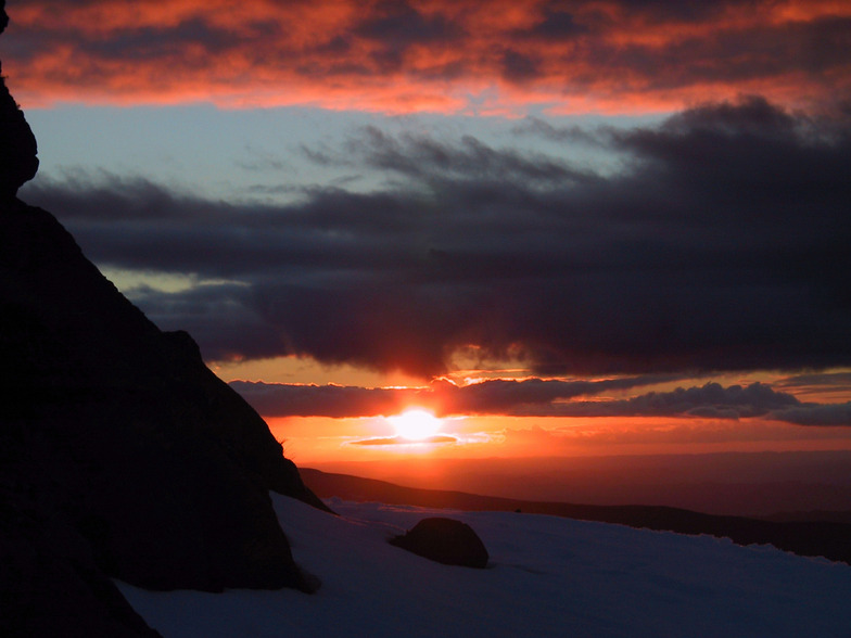
Fotos más recientes de Whakapapa Ver todas las fotos en la página de la galería de Whakapapa
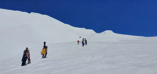 Crédito de la foto: Bruce McCallum
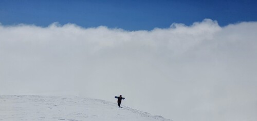 Crédito de la foto: Bruce McCallum
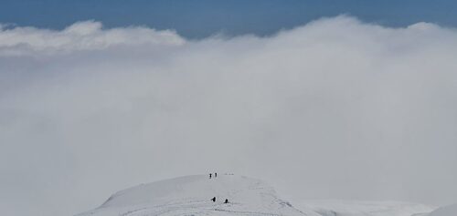 Crédito de la foto: Bruce McCallum
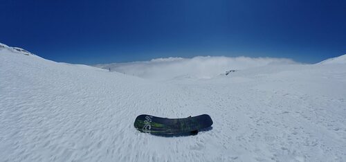 Crédito de la foto: Bruce McCallum
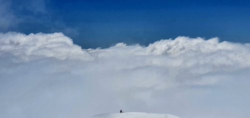 Crédito de la foto: Bruce McCallum
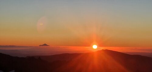 Crédito de la foto: Bruce McCallum
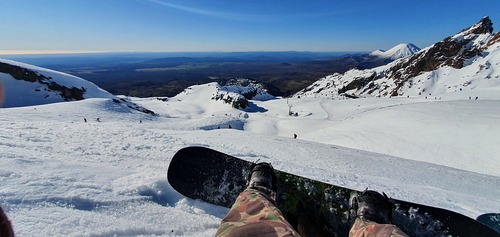 Crédito de la foto: Bruce McCallum
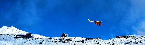 Crédito de la foto: Bruce McCallum
Explore el mapa de Whakapapa
Mapa interactivo de los senderos y las pistas de Whakapapa. Examine la pista y los senderos, así como el terreno circundante y los contornos de las montañas, para ver qué actividades de campo a través puede hacer.

¿Cuál es el mes con más nieve para visitar Whakapapa?

Comentarios de Visitantes para Whakapapa
Geoff Powdrell de Australia escribe:
I love this mountain and always will. I may have a different perspective to many because I always stay in one of the ski lodges on Whakapapa. Staying on the mountain is a beautiful experience. I took a party of 10 to stay at our lodge in August 2023 and we all had an amazing time, it was a great snow season. We tried the same again in August 2024 but the snow gods were not forthcoming. However, we improvised and did bush walks, hot pools and other activities to make up for the lack of snow and conditions. I have been coming here since I was a tiny tot in the late seventies so my views are the same, always a great experience at Whakapapa.
Lea 58 otras críticas de Whakapapa o entrega su propio comentario
Complejos próximos a Whakapapa
Descubre complejos de esquí próximos a Whakapapa. Haz clic abajo para ver guías de complejos de esquí en la zona.
 TukinoÚltima nieve: 6.0 cm Thu 09 Jul
 Remontes: 2
 Pistas: —8 km de distancia
- TuroaÚltima nieve: 4.0 cm Thu 09 JulRemontes: 9Pistas: 439 km de distancia
- ManganuiÚltima nieve: 2.0 cm Wed 08 JulRemontes: 4Pistas: 10126 km de distancia
- RainbowÚltima nieve: 1.0 cm Mon 13 JulRemontes: 5Pistas: 9372 km de distancia
- Mount LyfordÚltima nieve: 7.0 cm Thu 09 JulRemontes: 6Pistas: —410 km de distancia
 Nearest