


America’s Next Indoor Snow Centre Takes Shape
Construction of a new indoor snow centre for skiers, boarders and tubers appears to be making good progress at Heritage Farm in Wayne County, West Virginia.

Next 3 days weather summary:Lluvia ligera (totál 6.0mm), cayendo mayormente el martes por la mañana. Temperaturas templadas (max 5°C el jueves por la noche, min 1°C el martes por la tarde). El viento será generalmente ligero. | Días 4-6 Resúmen del Tiempo para VerbierLluvia moderada (totál 11.0mm) más pesada el sábado por la noche, volviéndose más frío con una espolvoreada de nieve el domingo por la tarde. condiciones de congelación y descongelación (max 7°C el viernes por la noche, min 0°C el domingo por la tarde). El viento será generalmente ligero. | |||||||||||||||||
martes 21 | miércoles 22 | jueves 23 | viernes 24 | sábado 25 | domingo 26 | |||||||||||||
mañana | tarde | noche | mañana | tarde | noche | mañana | tarde | noche | mañana | tarde | noche | mañana | tarde | noche | mañana | tarde | noche | |
riesgo truenos | nevadas | nevadas | claro | claro | claro | nubl ado | claro | claro | claro | claro | claro | semi nublado | riesgo truenos | chuba scos | nevadas | nieve ligera | nevadas | |
km/h | ||||||||||||||||||
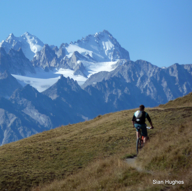
Mapa de Nieve |  |  |  |  |  |  | ||||||||||||
— | 1 | — | — | — | — | — | — | — | — | — | — | — | — | — | — | 1 | 1 | |
mm | 4 | 2 | — | — | — | — | — | — | — | — | — | — | — | 1 | 10 | — | — | — |
max °C | 3 | 2 | 3 | 3 | 3 | 3 | 2 | 2 | 5 | 5 | 5 | 7 | 6 | 7 | 5 | 2 | 1 | 1 |
min °C | 2 | 1 | 1 | 3 | 3 | 2 | 2 | 2 | 1 | 4 | 4 | 5 | 6 | 6 | 2 | 2 | 0 | 0 |
chill °C | -2 | -3 | -2 | 0 | 0 | -2 | -2 | -2 | -3 | 2 | 2 | 3 | 3 | 4 | -2 | -1 | -4 | -4 |
Humed. % | 66 | 87 | 37 | 14 | 61 | 35 | 42 | 63 | 15 | 10 | 50 | 15 | 40 | 52 | 75 | 88 | 94 | 85 |
Altura de Hielo m | 3650 | 3500 | 3600 | 3850 | 3850 | 3800 | 3550 | 3650 | 4000 | 4150 | 4100 | 4300 | 4250 | 4250 | 3800 | 3600 | 3350 | 3450 |
6:00 | — | — | 6:01 | — | — | 6:01 | — | — | 6:03 | — | — | 6:03 | — | — | 6:05 | — | — | |
— | — | 9:14 | — | — | 9:13 | — | — | 9:12 | — | — | 9:10 | — | — | 9:09 | — | — | 9:08 | |
Hazte pro y carve en:
Información de avalanchas: European Avalanche Warning Services (EAWS)
Ultimo parte de nieve cerca Verbier:
| Profundidad de nieve arriba: | 0 cm |
|---|---|
| Profundidad de nieve abajo: | 0 cm |
| Profundidad de la nevada fresca: | — |
| Última nevada: | 10 Jun 2026 |
0.1 | Dias de Nieve en Polvo Nieve fresca, mayormente soleado, viento suave. |
|---|---|
0.5 | Dias de nieve en polvo Nieve fresca, sol limitado, sin viento. |
0.3 | Dia perfecto para esquiar Nieve promedio, mayormente soleado, viento suave. |
La tabla anterior muestra el pronóstico de tiempo para Verbier en la altitud específica de 3330 m. Nuestros modelos meteorológicos sofisticados permiten prever pronósticos para la cumbre, la mitad y la base de Verbier. Para aceder a los pronósticos de tiempo a otras alturas, pinche en la navegación en la parte superior de la tabla. Para una visión general, consulte el Mapa meteorológico de Switzerland.
Pinche aquí para más información sobre niveles de congelación y sobre cómo pronosticamos las temperaturas.
Generalmente 4.1 En base a 103 votos y 97 comentarios
Good off-piste opportunities in Verbier but... The 4 Vallees pass is overpriced for what it offers. The links between areas and lift infrastructure outside the Verbier area are poor with too many drag lifts and old, slow chairlifts with limited capacity. It suffers in comparison to other large linked ski areas such as Zermatt/Cervinia, 3 Vallees, Grand Massif etc. I get the feeling the area has been riding on the cachet of Verbier for too long and isn't really trying to be competitive.
Simon de United Kingdom escribe:
Good off-piste opportunities in Verbier but...
The 4 Vallees pass is overpriced for what it offers. The links between areas and lift infrastructure outside the Verbier area are poor with too many drag lifts and old, slow chairlifts with limited capacity. It suffers in comparison to other large linked ski areas such as Zermatt/Cervinia, 3 Vallees, Grand Massif etc.
I get the feeling the area has been riding on the cachet of Verbier for too long and isn't really trying to be competitive.
Lea 96 otras críticas de Verbier o entrega su propio comentario


 Nearest