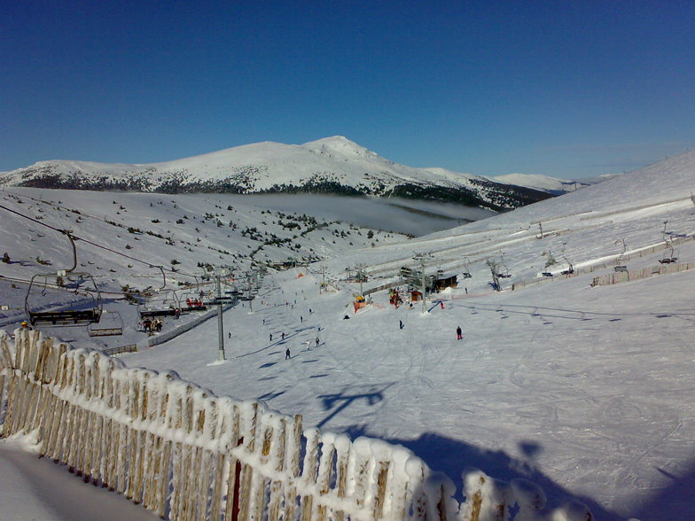


Portillo Re-Opens To Guests Arriving By Helicopter
Chile’s famous Portillo ski resort is reported to have re-opened to guests arriving by helicopter after being cut off by road for more than two weeks by over 6m/20 feet of snowfall.

Next 3 days weather summary:Lluvia ligera (totál 2.0mm), cayendo mayormente el miércoles por la noche. Cálido (max 24°C el miércoles por la tarde, min 13°C el lunes por la noche). El viento será generalmente ligero. | Días 4-6 Resúmen del Tiempo para ValdesquiLluvia ligera (totál 2.0mm), cayendo mayormente el viernes por la noche. Cálido (max 26°C el sábado por la tarde, min 15°C el jueves por la mañana). El viento será generalmente ligero. | |||||||||||||||||
lunes 3 | martes 4 | miércoles 5 | jueves 6 | viernes 7 | sábado 8 | |||||||||||||
mañana | tarde | noche | mañana | tarde | noche | mañana | tarde | noche | mañana | tarde | noche | mañana | tarde | noche | mañana | tarde | noche | |
nubl ado | semi nublado | claro | claro | claro | claro | semi nublado | claro | riesgo truenos | claro | semi nublado | claro | claro | claro | chuba scos | claro | claro | semi nublado | |
km/h | ||||||||||||||||||
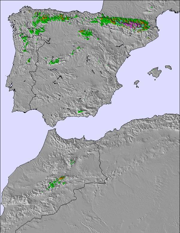
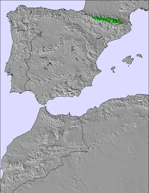
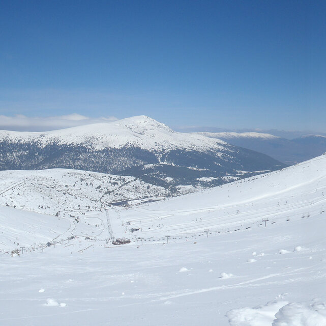
Mapa de Nieve |  |  |  |  |  |  | ||||||||||||
— | — | — | — | — | — | — | — | — | — | — | — | — | — | — | — | — | — | |
mm | — | — | — | — | — | — | — | — | 2 | — | — | — | — | — | 2 | — | — | — |
max °C | 18 | 22 | 20 | 18 | 23 | 21 | 19 | 24 | 22 | 19 | 24 | 22 | 20 | 25 | 21 | 21 | 26 | 24 |
min °C | 16 | 20 | 13 | 14 | 21 | 15 | 15 | 22 | 16 | 15 | 22 | 16 | 16 | 24 | 17 | 17 | 24 | 17 |
chill °C | 16 | 20 | 13 | 14 | 21 | 15 | 15 | 22 | 16 | 15 | 22 | 16 | 16 | 24 | 17 | 17 | 24 | 17 |
Humed. % | 39 | 35 | 60 | 49 | 39 | 43 | 40 | 36 | 51 | 56 | 40 | 50 | 49 | 33 | 34 | 32 | 20 | 27 |
Altura de Hielo m | 4300 | 4350 | 4450 | 4650 | 4600 | 4700 | 4550 | 4700 | 4450 | 4500 | 4700 | 4600 | 4550 | 4750 | 4750 | 4600 | 4650 | 4650 |
7:13 | — | — | 7:15 | — | — | 7:16 | — | — | 7:16 | — | — | 7:16 | — | — | 7:18 | — | — | |
— | — | 9:30 | — | — | 9:29 | — | — | 9:27 | — | — | 9:25 | — | — | 9:24 | — | — | 9:23 | |
Hazte pro y carve en:
Información de avalanchas: European Avalanche Warning Services (EAWS)
Ultimo parte de nieve cerca Valdesqui:
| Profundidad de nieve arriba: | — |
|---|---|
| Profundidad de nieve abajo: | — |
| Profundidad de la nevada fresca: | — |
| Última nevada: | 15 May 2026 |
0.0 | Dias de Nieve en Polvo Nieve fresca, mayormente soleado, viento suave. |
|---|---|
0.0 | Dias de nieve en polvo Nieve fresca, sol limitado, sin viento. |
0.0 | Dia perfecto para esquiar Nieve promedio, mayormente soleado, viento suave. |
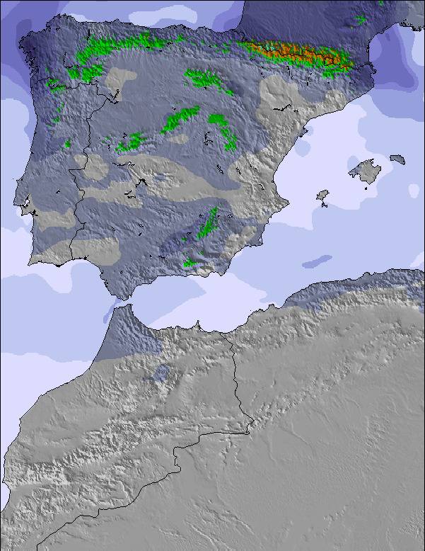
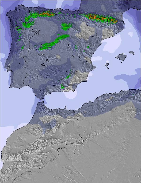
La tabla anterior muestra el pronóstico de tiempo para Valdesqui en la altitud específica de 1859 m. Nuestros modelos meteorológicos sofisticados permiten prever pronósticos para la cumbre, la mitad y la base de Valdesqui. Para aceder a los pronósticos de tiempo a otras alturas, pinche en la navegación en la parte superior de la tabla. Para una visión general, consulte el Mapa meteorológico de Spain.
Pinche aquí para más información sobre niveles de congelación y sobre cómo pronosticamos las temperaturas.
Generalmente 2.1 En base a 42 votos y 13 comentarios
Es la mejor estación de la zona centro porque tiene unas pistas anchas y homogéneas. En general muy bien cuidadas las pistas aprovechando la nieve todo lo posible. El personal de pista suele ser atento y hacerlo bien. Pero hay cosas muy malas: -precio alto aprovechando que están cerca de Madrid. -remontes lentisimos y no los mejoran! -pésima gestión de los alquileres. -la cafetería la cierran en el mismo minuto de la última subida, no esperan ni media hora, ni te dejan terminar la consumicion. -pésima informacion. -Ni 1 euro de descuento por familia numerosa.
Ramon Garcia de Spain escribe:
Es la mejor estación de la zona centro porque tiene unas pistas anchas y homogéneas. En general muy bien cuidadas las pistas aprovechando la nieve todo lo posible. El personal de pista suele ser atento y hacerlo bien.
Pero hay cosas muy malas:
-precio alto aprovechando que están cerca de Madrid.
-remontes lentisimos y no los mejoran!
-pésima gestión de los alquileres.
-la cafetería la cierran en el mismo minuto de la última subida, no esperan ni media hora, ni te dejan terminar la consumicion.
-pésima informacion.
-Ni 1 euro de descuento por familia numerosa.
Lea 12 otras críticas de Valdesqui o entrega su propio comentario

 Nearest