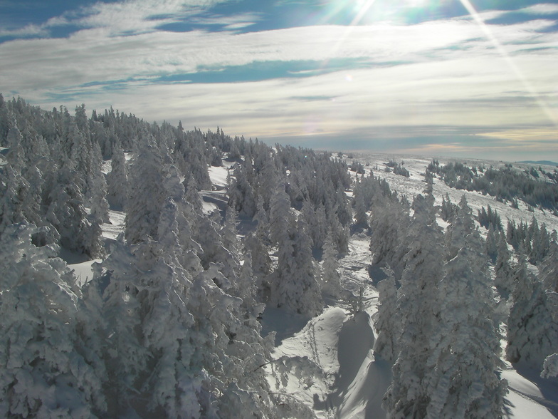
Previsión meteorológica para Stuhleck en1774m altitud
Emitido: 1 pm 01 Aug 2026 (hora local)
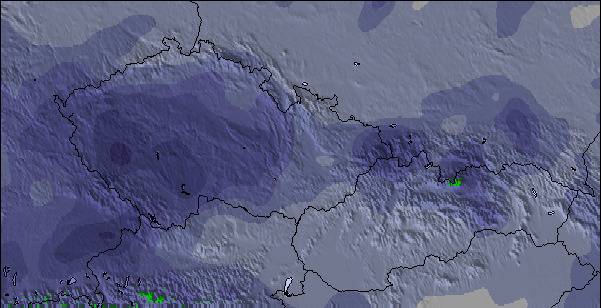
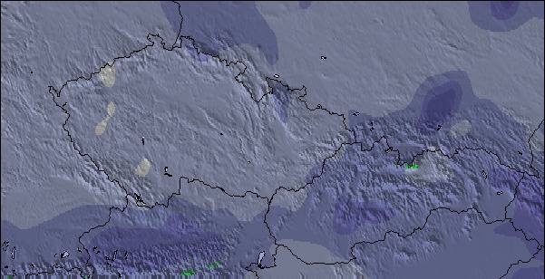
Previsión de nieve actualizada en hora Min
View forecast
Stuhleckat 1774 m altitud
Emitido por Snow-Forescast.com a:1 pm (hora local) / 01 Aug 2026
Últimos 6 díasDesplázate a la izquierda para los últimos 6 díasAhora
Next 3 days weather summary:
Lluvia ligera (totál 3.0mm), cayendo mayormente el sábado por la noche. Cálido (max 22°C el lunes por la tarde, min 15°C el sábado por la noche). El viento será generalmente ligero.
Días 4-6 Resúmen del Tiempo para Stuhleck
Lluvia moderada (totál 13.0mm), más pesada el jueves por la tarde. Cálido (max 24°C el miércoles por la tarde, min 15°C el viernes por la mañana). El viento será generalmente ligero.
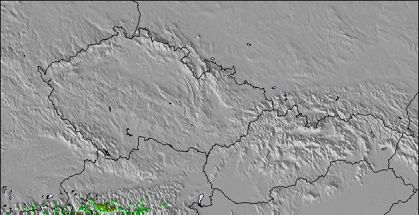
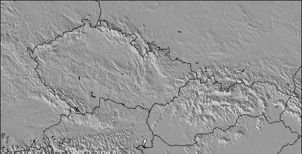
La tabla anterior muestra el pronóstico de tiempo para Stuhleck en la altitud específica de 1774 m. Nuestros modelos meteorológicos sofisticados permiten prever pronósticos para la cumbre, la mitad y la base de Stuhleck. Para aceder a los pronósticos de tiempo a otras alturas, pinche en la navegación en la parte superior de la tabla. Para una visión general, consulte el Mapa meteorológico de Austria.
Pinche aquí para más información sobre niveles de congelación y sobre cómo pronosticamos las temperaturas.
Comentarios de Visitantes para Stuhleck
Generalmente 3.1 En base a 19 votos y 3 comentarios
I will never go back here. Despite great trails on a great little mountain, albeit poorly groomed, the crowds, the lack of ski etiquette on the slopes, and the complete unfriendliness will guarantee no repeat visit. Crowds, on the weekend, were ridiculous and the pushiness in long lift lines had inexcusable human behavior that was beyond atrocious. Don't even think of renting ski gear, we were in line for one full hour. The rental staff were very professional though considering how slammed they were. The food was Austrian. What can I say, "I can't eat this", but I am in Austria and what can one expect besides pork?
Generalmente: 3.1 En base a 19 votos y 3 comentarios
Nieve segura
2.8
Variedad de pistas
2.9
Fuera de pista
2.3
Escenografía
4.3
Después del esquí
2.6
Bunny de Austria escribe:
I will never go back here. Despite great trails on a great little mountain, albeit poorly groomed, the crowds, the lack of ski etiquette on the slopes, and the complete unfriendliness will guarantee no repeat visit. Crowds, on the weekend, were ridiculous and the pushiness in long lift lines had inexcusable human behavior that was beyond atrocious. Don't even think of renting ski gear, we were in line for one full hour. The rental staff were very professional though considering how slammed they were. The food was Austrian. What can I say, "I can't eat this", but I am in Austria and what can one expect besides pork?
Gratis Snow-Forecast.com Widget del Tiempo para su sitio web
El widget del tiempo para esquiar para Stuhleck está disponible para ser empotrado en sitios web externos sin costo alguno. Proporciona un resumen diario de nuestro pronóstico de nieve en Stuhleck y estados de tiempo actuales. Vaya simplemente a la página para su configuración y siga los 3 pasos sencillos. Tome el código de transferencia del hipertexto y péguelo en su propio sitio web. Puede escoger la elevación en el pronóstico de nieve (cumbre, ascensor de medio-montaña o fondo) y unidades métrico/imperiales para el motor del pronóstico de nieve y convenir su propio website…. Click aquí para obtener el código


 Nearest