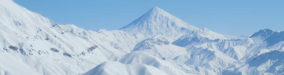


Portillo Storm Snowfall Total Passes 5m / 17 Feet
A snow storm that has now continued for nine days has taken Chilean ski resort Portillo to a snowfall total of 5.2 metres (17 feet) so far, with more snow forecast.

Next 4 days weather summary:Lluvia ligera (totál 4.0mm), cayendo mayormente el miércoles por la noche. Cálido (max 22°C el sábado por la tarde, min 14°C el viernes por la tarde). Vientos decreciente (vientos fuertes desde el O el miércoles por la noche, calma por la mañana de viernes). | Días 5-7 Resúmen del Tiempo para Snowy Range Ski and Recreation AreaLluvia ligera (totál 2.0mm), cayendo mayormente el lunes por la tarde. Cálido (max 26°C el domingo por la tarde, min 11°C el martes por la mañana). Vientos crecientes (Vientos ligeros desde el SSO el sábado por la noche, vientos fuertes desde el S por la tarde de lunes). | |||||||||||||||
jueves 30 | viernes 31 | sábado 1 | domingo 2 | lunes 3 | ||||||||||||
noche | mañana | tarde | noche | mañana | tarde | noche | mañana | tarde | noche | mañana | tarde | noche | mañana | tarde | noche | |
chuba scos | claro | claro | claro | semi nublado | riesgo truenos | chuba scos | claro | semi nublado | claro | claro | nubl ado | claro | semi nublado | llovizna | semi nublado | |
km/h | ||||||||||||||||
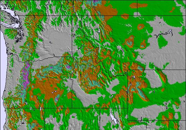
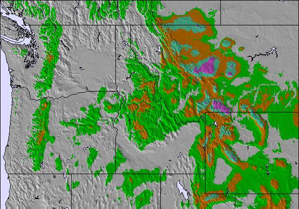
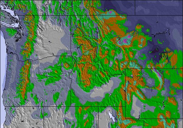
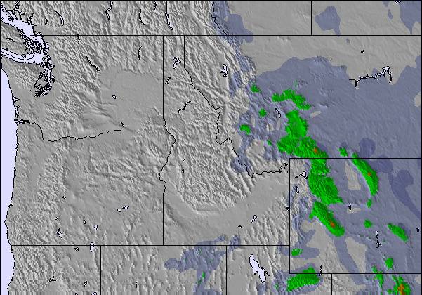
Mapa de Nieve |  |  |  |  |  |  | ||||||||||
— | — | — | — | — | — | — | — | — | — | — | — | — | — | — | — | |
mm | 1 | — | — | — | — | 2 | 1 | — | — | — | — | — | — | — | 1 | — |
max °C | 17 | 19 | 21 | 19 | 19 | 19 | 16 | 19 | 22 | 19 | 23 | 26 | 23 | 24 | 21 | 19 |
min °C | 15 | 15 | 20 | 15 | 16 | 14 | 14 | 17 | 21 | 19 | 20 | 25 | 20 | 21 | 16 | 13 |
chill °C | 14 | 13 | 19 | 15 | 16 | 12 | 13 | 16 | 21 | 19 | 20 | 25 | 20 | 21 | 14 | 12 |
Humed. % | 49 | 52 | 22 | 38 | 37 | 30 | 42 | 29 | 20 | 29 | 19 | 12 | 17 | 14 | 19 | 32 |
Altura de Hielo m | 5400 | 5150 | 5450 | 5150 | 5100 | 5200 | 5050 | 5300 | 5500 | 5600 | 5650 | 5850 | 5600 | 5450 | 5500 | 5300 |
— | 5:54 | — | — | 5:56 | — | — | 5:56 | — | — | 5:58 | — | — | 5:58 | — | — | |
— | — | 8:21 | — | — | 8:20 | — | — | 8:19 | — | — | 8:17 | — | — | 8:16 | — | |
Hazte pro y carve en:
Información de avalanchas: National Avalanche Center
Ultimo parte de nieve cerca Snowy Range Ski and Recreation Area:
| Profundidad de nieve arriba: | — |
|---|---|
| Profundidad de nieve abajo: | — |
| Profundidad de la nevada fresca: | — |
| Última nevada: | 19 May 2026 |
0.0 | Dias de Nieve en Polvo Nieve fresca, mayormente soleado, viento suave. |
|---|---|
0.0 | Dias de nieve en polvo Nieve fresca, sol limitado, sin viento. |
0.0 | Dia perfecto para esquiar Nieve promedio, mayormente soleado, viento suave. |
La tabla anterior muestra el pronóstico de tiempo para Snowy Range Ski and Recreation Area en la altitud específica de 2894 m. Nuestros modelos meteorológicos sofisticados permiten prever pronósticos para la cumbre, la mitad y la base de Snowy Range Ski and Recreation Area. Para aceder a los pronósticos de tiempo a otras alturas, pinche en la navegación en la parte superior de la tabla. Para una visión general, consulte el Mapa meteorológico de United States.
Pinche aquí para más información sobre niveles de congelación y sobre cómo pronosticamos las temperaturas.
You best update that terrain park info... suppose to have some sick features this year 2012!
Joe de United States escribe:
You best update that terrain park info... suppose to have some sick features this year 2012!
Lea 1 otras críticas de Snowy Range Ski and Recreation Area o entrega su propio comentario

 Nearest