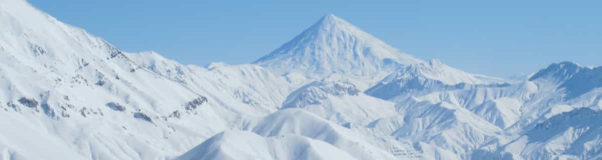


America’s Next Indoor Snow Centre Takes Shape
Construction of a new indoor snow centre for skiers, boarders and tubers appears to be making good progress at Heritage Farm in Wayne County, West Virginia.

Next 3 days weather summary:Lluvia ligera (totál 9.0mm), cayendo mayormente el martes por la mañana. Cálido (max 20°C el miércoles por la tarde, min 13°C el martes por la noche). El viento será generalmente ligero. | Días 4-6 Resúmen del Tiempo para SixtFuerte lluvia (totál 28.0mm), más pesada durante la noche de sábado. Cálido (max 25°C el sábado por la tarde, min 11°C el domingo por la noche). El viento será generalmente ligero. | |||||||||||||||||
martes 21 | miércoles 22 | jueves 23 | viernes 24 | sábado 25 | domingo 26 | |||||||||||||
mañana | tarde | noche | mañana | tarde | noche | mañana | tarde | noche | mañana | tarde | noche | mañana | tarde | noche | mañana | tarde | noche | |
riesgo truenos | riesgo truenos | chuba scos | claro | claro | claro | semi nublado | claro | claro | claro | claro | claro | semi nublado | semi nublado | chuba scos | chuba scos | lluvia mod. | chuba scos | |
km/h | ||||||||||||||||||
Mapa de Nieve |  |  |  |  |  |  | ||||||||||||
— | — | — | — | — | — | — | — | — | — | — | — | — | — | — | — | — | — | |
mm | 5 | 3 | 1 | — | — | — | — | — | — | — | — | — | — | — | 16 | 2 | 6 | 4 |
max °C | 17 | 19 | 17 | 17 | 20 | 19 | 17 | 20 | 18 | 19 | 22 | 20 | 23 | 25 | 21 | 18 | 17 | 14 |
min °C | 14 | 19 | 13 | 14 | 20 | 15 | 15 | 19 | 14 | 15 | 21 | 17 | 19 | 25 | 15 | 16 | 15 | 11 |
chill °C | 14 | 19 | 13 | 14 | 20 | 15 | 15 | 19 | 14 | 15 | 21 | 17 | 19 | 25 | 15 | 16 | 15 | 11 |
Humed. % | 66 | 48 | 63 | 45 | 37 | 45 | 46 | 34 | 57 | 37 | 33 | 37 | 29 | 29 | 76 | 60 | 75 | 93 |
Altura de Hielo m | 3600 | 3450 | 3700 | 3950 | 3850 | 3850 | 3650 | 3550 | 4100 | 4250 | 4100 | 4300 | 4100 | 4150 | 3800 | 3600 | 3350 | 3450 |
6:01 | — | — | 6:03 | — | — | 6:03 | — | — | 6:05 | — | — | 6:05 | — | — | 6:07 | — | — | |
— | — | 9:15 | — | — | 9:14 | — | — | 9:13 | — | — | 9:12 | — | — | 9:10 | — | — | 9:09 | |
Hazte pro y carve en:
Información de avalanchas: European Avalanche Warning Services (EAWS)
Ultimo parte de nieve cerca Sixt:
No information received. Clear blue skies, all lifts open. desde La Giettaz en Aravis
| Profundidad de nieve arriba: | — |
|---|---|
| Profundidad de nieve abajo: | — |
| Profundidad de la nevada fresca: | — |
| Última nevada: | 15 May 2026 |
0.0 | Dias de Nieve en Polvo Nieve fresca, mayormente soleado, viento suave. |
|---|---|
0.0 | Dias de nieve en polvo Nieve fresca, sol limitado, sin viento. |
0.0 | Dia perfecto para esquiar Nieve promedio, mayormente soleado, viento suave. |
La tabla anterior muestra el pronóstico de tiempo para Sixt en la altitud específica de 1200 m. Nuestros modelos meteorológicos sofisticados permiten prever pronósticos para la cumbre, la mitad y la base de Sixt. Para aceder a los pronósticos de tiempo a otras alturas, pinche en la navegación en la parte superior de la tabla. Para una visión general, consulte el Mapa meteorológico de France.
Pinche aquí para más información sobre niveles de congelación y sobre cómo pronosticamos las temperaturas.
Generalmente 3.4 En base a 3 votos y 2 comentarios
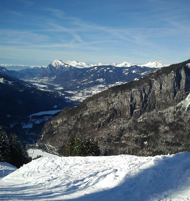
Sixt had a disastrous year last year, with the poor snow in the Alps. But his year has more than made up for it. Even at the busiest times it is uncrowded. The reds at the top of the resort are superb tree-lined runs and a brilliant way to end the day after coming down the Cascade. Great for beginners too.
Matt de France escribe:
Sixt had a disastrous year last year, with the poor snow in the Alps. But his year has more than made up for it. Even at the busiest times it is uncrowded. The reds at the top of the resort are superb tree-lined runs and a brilliant way to end the day after coming down the Cascade. Great for beginners too.


 Nearest