Emitido por Snow-Forescast.com a:1 am (hora local) / 03 Aug 2026
Últimos 6 díasDesplázate a la izquierda para los últimos 6 díasAhora
Next 3 days weather summary:
Fuerte lluvia (totál 22.0mm), más pesada durante la noche de miércoles. Cálido (max 26°C el lunes por la tarde, min 18°C el martes por la noche). El viento será generalmente ligero.
Días 4-6 Resúmen del Tiempo para Scheffau (SkiWelt)
Fuerte lluvia (totál 40.0mm), más pesada durante la noche de jueves. Cálido (max 23°C el jueves por la tarde, min 15°C el jueves por la noche). El viento será generalmente ligero.
La tabla anterior muestra el pronóstico de tiempo para Scheffau (SkiWelt) en la altitud específica de 1288 m. Nuestros modelos meteorológicos sofisticados permiten prever pronósticos para la cumbre, la mitad y la base de Scheffau (SkiWelt). Para aceder a los pronósticos de tiempo a otras alturas, pinche en la navegación en la parte superior de la tabla. Para una visión general, consulte el Mapa meteorológico de Austria.
Pinche aquí para más información sobre niveles de congelación y sobre cómo pronosticamos las temperaturas.
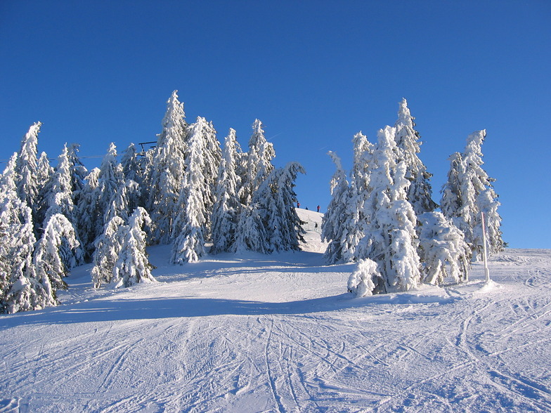
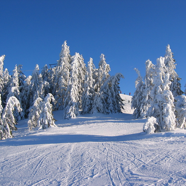
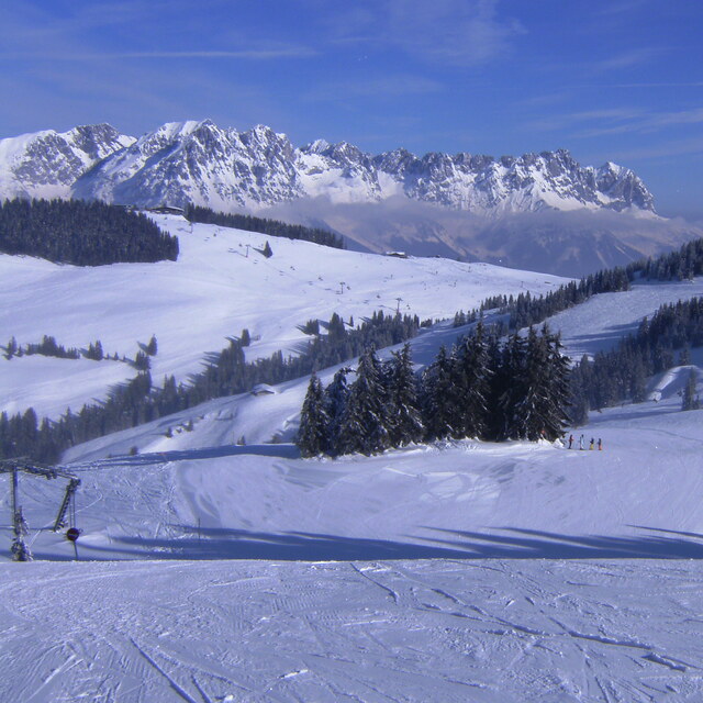
Nombre de la estación también escrito como Scheffau.
Comentarios de Visitantes para Scheffau (SkiWelt)
Generalmente 3.8 En base a 7 votos y 13 comentarios
The first time I went to Scheffau was March 2014. The snow wasn't great but the pisters had done a fantastic job. Having had a great holiday I went back for a weekend break in January and a family trip in March. Thankfully, the snow was much better this year!
Scheffau is perfect for skiing the SkiWelt area as it's in the middle of the ski area. If you're travelling with children then this place is great, if it's their first time I would suggest the KinderKaiserland ski school as it's located at the top of the gondola and it's easy to come back during the day to see how they are getting on. If they have been before I would recommend ski School Ingrid Salvenmoser as it seemed quieter than the others and the groups are smaller. Having skied in France lots over the last 15-20 years it was refreshing coming back to Austria, so much cheaper than France and cleaner with picture postcard alpine buildings. Everytime I have stayed at the hotel kaiser in Tirol, I love this place, kids club in the evenings, fantastic food with free drink and it has everything you could wish for in a hotel. I've already booked up to go back next January and March!!
Generalmente: 3.8 En base a 7 votos y 13 comentarios
Nieve segura
4.3
Variedad de pistas
4.4
Fuera de pista
2.2
Escenografía
4.3
Después del esquí
2.7
Richard B de United Kingdom escribe:
The first time I went to Scheffau was March 2014. The snow wasn't great but the pisters had done a fantastic job. Having had a great holiday I went back for a weekend break in January and a family trip in March. Thankfully, the snow was much better this year!
Scheffau is perfect for skiing the SkiWelt area as it's in the middle of the ski area. If you're travelling with children then this place is great, if it's their first time I would suggest the KinderKaiserland ski school as it's located at the top of the gondola and it's easy to come back during the day to see how they are getting on. If they have been before I would recommend ski School Ingrid Salvenmoser as it seemed quieter than the others and the groups are smaller. Having skied in France lots over the last 15-20 years it was refreshing coming back to Austria, so much cheaper than France and cleaner with picture postcard alpine buildings. Everytime I have stayed at the hotel kaiser in Tirol, I love this place, kids club in the evenings, fantastic food with free drink and it has everything you could wish for in a hotel. I've already booked up to go back next January and March!!
Gratis Snow-Forecast.com Widget del Tiempo para su sitio web
El widget del tiempo para esquiar para Scheffau (SkiWelt) está disponible para ser empotrado en sitios web externos sin costo alguno. Proporciona un resumen diario de nuestro pronóstico de nieve en Scheffau (SkiWelt) y estados de tiempo actuales. Vaya simplemente a la página para su configuración y siga los 3 pasos sencillos. Tome el código de transferencia del hipertexto y péguelo en su propio sitio web. Puede escoger la elevación en el pronóstico de nieve (cumbre, ascensor de medio-montaña o fondo) y unidades métrico/imperiales para el motor del pronóstico de nieve y convenir su propio website…. Click aquí para obtener el código


 Nearest