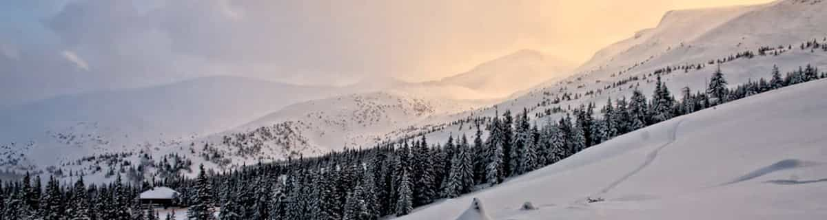


America’s Next Indoor Snow Centre Takes Shape
Construction of a new indoor snow centre for skiers, boarders and tubers appears to be making good progress at Heritage Farm in Wayne County, West Virginia.

Next 3 days weather summary:Fuerte lluvia (totál 22.0mm), más pesada durante la tarde de jueves. Cálido (max 20°C el miércoles por la tarde, min 7°C el jueves por la noche). El viento será generalmente ligero. | Días 4-6 Resúmen del Tiempo para RußbachFuerte lluvia (totál 24.0mm), más pesada durante la tarde de domingo. Cálido (max 26°C el sábado por la tarde, min 9°C el viernes por la noche). El viento será generalmente ligero. | ||||||||||||||||
mar 21 | miércoles 22 | jueves 23 | viernes 24 | sábado 25 | domingo 26 | ||||||||||||
tarde | noche | mañana | tarde | noche | mañana | tarde | noche | mañana | tarde | noche | mañana | tarde | noche | mañana | tarde | noche | |
chuba scos | chuba scos | chuba scos | semi nublado | chuba scos | llovizna | riesgo truenos | chuba scos | claro | claro | claro | semi nublado | claro | chuba scos | riesgo truenos | lluvia mod. | llovizna | |
km/h | |||||||||||||||||
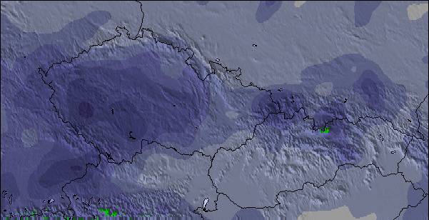
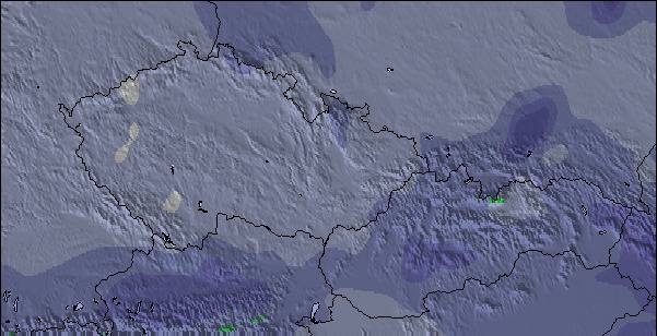
Mapa de Nieve |  |  |  |  |  |  | |||||||||||
— | — | — | — | — | — | — | — | — | — | — | — | — | — | — | — | — | |
mm | 2 | 4 | 2 | — | 2 | 4 | 5 | 3 | — | — | — | — | — | 2 | 2 | 9 | 4 |
max °C | 19 | 14 | 17 | 20 | 16 | 13 | 15 | 12 | 17 | 20 | 15 | 22 | 26 | 20 | 21 | 17 | 15 |
min °C | 17 | 11 | 13 | 19 | 11 | 12 | 15 | 7 | 11 | 19 | 9 | 15 | 26 | 14 | 16 | 15 | 12 |
chill °C | 17 | 11 | 13 | 19 | 11 | 12 | 14 | 6 | 11 | 19 | 8 | 15 | 26 | 14 | 16 | 15 | 11 |
Humed. % | 62 | 77 | 61 | 43 | 73 | 93 | 73 | 75 | 51 | 38 | 59 | 35 | 29 | 71 | 69 | 97 | 81 |
Altura de Hielo m | 2950 | 2650 | 2750 | 3000 | 2950 | 2750 | 2800 | 2500 | 2750 | 3350 | 3700 | 3850 | 4100 | 4200 | 3650 | 3450 | 3200 |
— | — | 5:30 | — | — | 5:31 | — | — | 5:33 | — | — | 5:33 | — | — | 5:35 | — | — | |
— | 8:53 | — | — | 8:52 | — | — | 8:52 | — | — | 8:51 | — | — | 8:50 | — | — | 8:49 | |
Hazte pro y carve en:
Información de avalanchas: European Avalanche Warning Services (EAWS)
Ultimo parte de nieve cerca Rußbach:
| Profundidad de nieve arriba: | 0 cm |
|---|---|
| Profundidad de nieve abajo: | 0 cm |
| Profundidad de la nevada fresca: | — |
| Última nevada: | 10 Jun 2026 |
0.0 | Dias de Nieve en Polvo Nieve fresca, mayormente soleado, viento suave. |
|---|---|
0.0 | Dias de nieve en polvo Nieve fresca, sol limitado, sin viento. |
0.0 | Dia perfecto para esquiar Nieve promedio, mayormente soleado, viento suave. |
La tabla anterior muestra el pronóstico de tiempo para Rußbach en la altitud específica de 780 m. Nuestros modelos meteorológicos sofisticados permiten prever pronósticos para la cumbre, la mitad y la base de Rußbach. Para aceder a los pronósticos de tiempo a otras alturas, pinche en la navegación en la parte superior de la tabla. Para una visión general, consulte el Mapa meteorológico de Austria.
Pinche aquí para más información sobre niveles de congelación y sobre cómo pronosticamos las temperaturas.
Nombre de la estación también escrito como Russbach.
Generalmente 4.4 En base a 11 votos y 3 comentarios
Russbach is family skiing! Tiny village but at the key to access of the Dachstein west skiing area. Lots of kilometers of slopes, top parts often rather steep, but rolling more as you approach the valleys. Not extremely high but with breathtaking views of the Dachstein massive. Due to that massive a high probability of snow, even in lesser winters. Don't go here if you expect apres-ski facilities, but come for the gemutliche hutten along the slopes. Rather modern lifts and a wide area to explore. Lots of families with children.
Europaweer de The Netherlands escribe:
Russbach is family skiing! Tiny village but at the key to access of the Dachstein west skiing area. Lots of kilometers of slopes, top parts often rather steep, but rolling more as you approach the valleys. Not extremely high but with breathtaking views of the Dachstein massive. Due to that massive a high probability of snow, even in lesser winters. Don't go here if you expect apres-ski facilities, but come for the gemutliche hutten along the slopes. Rather modern lifts and a wide area to explore. Lots of families with children.
Lea 2 otras críticas de Rußbach o entrega su propio comentario

 Nearest