

America’s Next Indoor Snow Centre Takes Shape
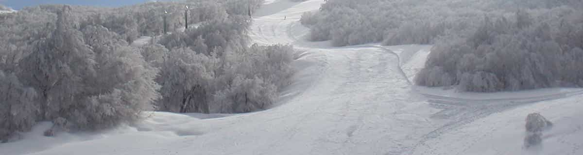
Construction of a new indoor snow centre for skiers, boarders and tubers appears to be making good progress at Heritage Farm in Wayne County, West Virginia.

Next 3 days weather summary:Lluvia moderada (totál 14.0mm), más pesada el jueves por la tarde. Temperaturas templadas (max 9°C el miércoles por la tarde, min 3°C el miércoles por la mañana). El viento será generalmente ligero. | Días 4-6 Resúmen del Tiempo para ObertraunLluvia moderada (totál 14.0mm), más pesada el domingo por la noche. Muy templado (max 15°C el sábado por la tarde, min 7°C el lunes por la mañana). El viento será generalmente ligero. | |||||||||||||||||
miércoles 22 | jueves 23 | viernes 24 | sábado 25 | domingo 26 | lunes 27 | |||||||||||||
mañana | tarde | noche | mañana | tarde | noche | mañana | tarde | noche | mañana | tarde | noche | mañana | tarde | noche | mañana | tarde | noche | |
chuba scos | semi nublado | chuba scos | llovizna | riesgo truenos | chuba scos | claro | claro | claro | claro | semi nublado | semi nublado | llovizna | llovizna | chuba scos | llovizna | chuba scos | chuba scos | |
km/h | ||||||||||||||||||
Mapa de Nieve |  |  |  |  |  |  | ||||||||||||
— | — | — | — | — | — | — | — | — | — | — | — | — | — | — | — | — | — | |
mm | 2 | — | 1 | 3 | 5 | 3 | — | — | — | — | — | — | 2 | 3 | 4 | 2 | 2 | 1 |
max °C | 5 | 9 | 8 | 4 | 5 | 5 | 5 | 9 | 9 | 12 | 15 | 15 | 11 | 9 | 10 | 8 | 11 | 11 |
min °C | 3 | 7 | 6 | 4 | 5 | 3 | 3 | 7 | 8 | 9 | 13 | 12 | 11 | 9 | 8 | 7 | 10 | 10 |
chill °C | 0 | 5 | 2 | 0 | 1 | -2 | -2 | 4 | 6 | 7 | 12 | 12 | 11 | 7 | 5 | 4 | 8 | 8 |
Humed. % | 68 | 64 | 74 | 93 | 83 | 80 | 49 | 34 | 37 | 35 | 39 | 53 | 71 | 77 | 72 | 90 | 75 | 50 |
Altura de Hielo m | 2700 | 3000 | 2950 | 2800 | 2750 | 2500 | 2800 | 3200 | 3600 | 3800 | 4000 | 4200 | 3600 | 3650 | 3350 | 3400 | 3900 | 4200 |
5:30 | — | — | 5:31 | — | — | 5:31 | — | — | 5:33 | — | — | 5:33 | — | — | 5:35 | — | — | |
— | — | 8:52 | — | — | 8:51 | — | — | 8:50 | — | — | 8:49 | — | — | 8:47 | — | — | 8:46 | |
Hazte pro y carve en:
Información de avalanchas: European Avalanche Warning Services (EAWS)
Ultimo parte de nieve cerca Obertraun:
| Profundidad de nieve arriba: | 0 cm |
|---|---|
| Profundidad de nieve abajo: | 0 cm |
| Profundidad de la nevada fresca: | — |
| Última nevada: | 16 May 2026 |
0.0 | Dias de Nieve en Polvo Nieve fresca, mayormente soleado, viento suave. |
|---|---|
0.0 | Dias de nieve en polvo Nieve fresca, sol limitado, sin viento. |
0.0 | Dia perfecto para esquiar Nieve promedio, mayormente soleado, viento suave. |
La tabla anterior muestra el pronóstico de tiempo para Obertraun en la altitud específica de 2100 m. Nuestros modelos meteorológicos sofisticados permiten prever pronósticos para la cumbre, la mitad y la base de Obertraun. Para aceder a los pronósticos de tiempo a otras alturas, pinche en la navegación en la parte superior de la tabla. Para una visión general, consulte el Mapa meteorológico de Austria.
Pinche aquí para más información sobre niveles de congelación y sobre cómo pronosticamos las temperaturas.
Generalmente 4.3 En base a 12 votos y 1 comentario
Really pleasant, quiet village. Ideal for those who enjoy a quiet drink in local bars & restaraunts without 'tourist events'. Skiing on the Krippenstein is good off-piste, lift-pass includes Dachstein West (short transfer) 140km of intermediate piste. Stay at the Obertrauner Hof, centre of village; good quality clean & friendly. Overall, ideal for those that don't want the crowds, but no compromise on the skiing!!
Trevor Benton de United Kingdom escribe:
Really pleasant, quiet village.
Ideal for those who enjoy a quiet drink in local bars & restaraunts without 'tourist events'.
Skiing on the Krippenstein is good off-piste, lift-pass includes Dachstein West (short transfer) 140km of intermediate piste.
Stay at the Obertrauner Hof, centre of village; good quality clean & friendly.
Overall, ideal for those that don't want the crowds, but no compromise on the skiing!!
Haz clic aquí para entregar su propio comentario de Obertraun


 Nearest