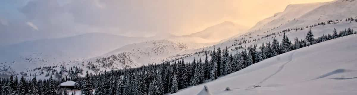


Portillo Storm Snowfall Total Passes 5m / 17 Feet
A snow storm that has now continued for nine days has taken Chilean ski resort Portillo to a snowfall total of 5.2 metres (17 feet) so far, with more snow forecast.

Next 3 days weather summary:Lluvia ligera (totál 7.0mm), cayendo mayormente el miércoles por la noche. Cálido (max 22°C el jueves por la tarde, min 12°C el martes por la mañana). El viento será generalmente ligero. | Días 4-6 Resúmen del Tiempo para MisurinaFuerte lluvia (totál 32.0mm), más pesada durante la noche del viernes. Cálido (max 22°C el viernes por la tarde, min 12°C el domingo por la noche). El viento será generalmente ligero. | |||||||||||||||||
martes 28 | miércoles 29 | jueves 30 | viernes 31 | sábado 1 | domingo 2 | |||||||||||||
mañana | tarde | noche | mañana | tarde | noche | mañana | tarde | noche | mañana | tarde | noche | mañana | tarde | noche | mañana | tarde | noche | |
claro | semi nublado | claro | claro | riesgo truenos | chuba scos | claro | semi nublado | chuba scos | claro | chuba scos | chuba scos | claro | riesgo truenos | chuba scos | semi nublado | riesgo truenos | chuba scos | |
km/h | ||||||||||||||||||
Mapa de Nieve |  |  |  |  |  |  | ||||||||||||
— | — | — | — | — | — | — | — | — | — | — | — | — | — | — | — | — | — | |
mm | — | — | — | — | 2 | 4 | — | — | 1 | — | 2 | 10 | — | 2 | 13 | — | 1 | 4 |
max °C | 16 | 18 | 16 | 18 | 19 | 16 | 19 | 22 | 18 | 21 | 22 | 14 | 20 | 22 | 15 | 18 | 21 | 14 |
min °C | 12 | 18 | 12 | 14 | 19 | 13 | 15 | 22 | 14 | 17 | 19 | 13 | 16 | 19 | 13 | 15 | 16 | 12 |
chill °C | 12 | 18 | 12 | 14 | 19 | 13 | 15 | 22 | 14 | 17 | 19 | 13 | 16 | 19 | 13 | 15 | 16 | 12 |
Humed. % | 59 | 61 | 85 | 58 | 58 | 81 | 45 | 41 | 69 | 42 | 64 | 76 | 47 | 65 | 82 | 51 | 73 | 76 |
Altura de Hielo m | 4200 | 4500 | 4550 | 4300 | 4400 | 4450 | 4400 | 4650 | 4550 | 4550 | 4650 | 4650 | 4600 | 4650 | 4550 | 4500 | 4550 | 4500 |
5:46 | — | — | 5:47 | — | — | 5:48 | — | — | 5:48 | — | — | 5:50 | — | — | 5:52 | — | — | |
— | — | 8:47 | — | — | 8:46 | — | — | 8:45 | — | — | 8:44 | — | — | 8:43 | — | — | 8:40 | |
Hazte pro y carve en:
Información de avalanchas: European Avalanche Warning Services (EAWS)
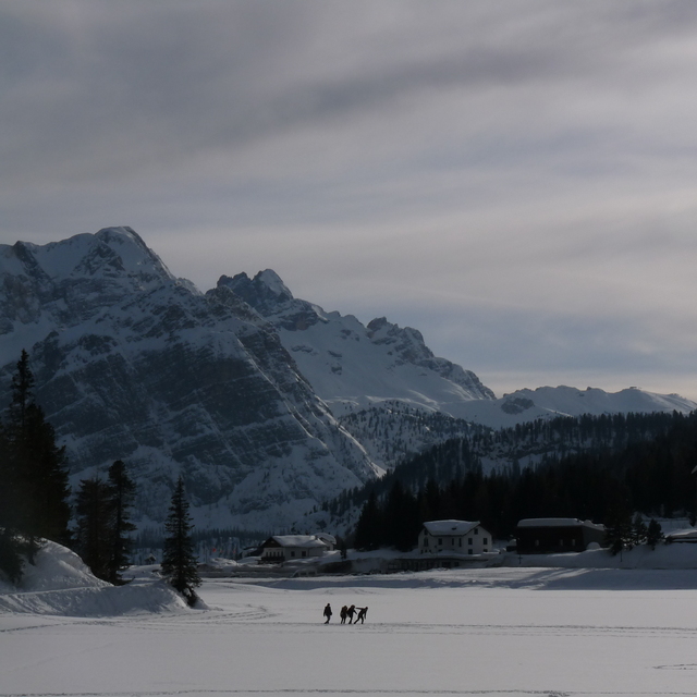
Ultimo parte de nieve cerca Misurina:
| Profundidad de nieve arriba: | — |
|---|---|
| Profundidad de nieve abajo: | — |
| Profundidad de la nevada fresca: | — |
| Última nevada: | 10 Jun 2026 |
0.0 | Dias de Nieve en Polvo Nieve fresca, mayormente soleado, viento suave. |
|---|---|
0.0 | Dias de nieve en polvo Nieve fresca, sol limitado, sin viento. |
0.0 | Dia perfecto para esquiar Nieve promedio, mayormente soleado, viento suave. |
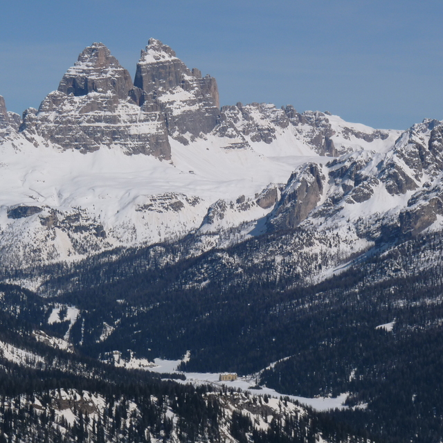
La tabla anterior muestra el pronóstico de tiempo para Misurina en la altitud específica de 1978 m. Nuestros modelos meteorológicos sofisticados permiten prever pronósticos para la cumbre, la mitad y la base de Misurina. Para aceder a los pronósticos de tiempo a otras alturas, pinche en la navegación en la parte superior de la tabla. Para una visión general, consulte el Mapa meteorológico de Italy.
Pinche aquí para más información sobre niveles de congelación y sobre cómo pronosticamos las temperaturas.


 Nearest