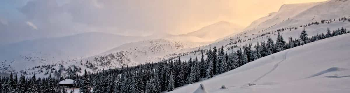


Portillo Re-Opens To Guests Arriving By Helicopter
Chile’s famous Portillo ski resort is reported to have re-opened to guests arriving by helicopter after being cut off by road for more than two weeks by over 6m/20 feet of snowfall.

Next 3 days weather summary:Lluvia moderada (totál 12.0mm), más pesada el miércoles por la noche. Cálido (max 24°C el miércoles por la tarde, min 12°C el lunes por la noche). El viento será generalmente ligero. | Días 4-6 Resúmen del Tiempo para MisurinaFuerte lluvia (totál 41.0mm), más pesada durante la noche de jueves. Cálido (max 23°C el jueves por la tarde, min 9°C el viernes por la noche). El viento será generalmente ligero. | |||||||||||||||||
lunes 3 | martes 4 | miércoles 5 | jueves 6 | viernes 7 | sábado 8 | |||||||||||||
mañana | tarde | noche | mañana | tarde | noche | mañana | tarde | noche | mañana | tarde | noche | mañana | tarde | noche | mañana | tarde | noche | |
chuba scos | semi nublado | claro | claro | semi nublado | chuba scos | claro | semi nublado | chuba scos | riesgo truenos | riesgo truenos | chuba scos | riesgo truenos | riesgo truenos | chuba scos | claro | riesgo truenos | chuba scos | |
km/h | ||||||||||||||||||
Mapa de Nieve |  |  |  |  |  |  | ||||||||||||
— | — | — | — | — | — | — | — | — | — | — | — | — | — | — | — | — | — | |
mm | 1 | — | — | — | — | 2 | — | — | 9 | 1 | 2 | 10 | 3 | 5 | 4 | — | 8 | 8 |
max °C | 21 | 22 | 17 | 21 | 22 | 17 | 22 | 24 | 14 | 22 | 23 | 13 | 15 | 14 | 12 | 19 | 17 | 13 |
min °C | 15 | 21 | 12 | 16 | 21 | 12 | 16 | 22 | 12 | 15 | 19 | 11 | 13 | 13 | 9 | 13 | 16 | 10 |
chill °C | 15 | 21 | 12 | 16 | 21 | 12 | 16 | 22 | 12 | 15 | 19 | 11 | 13 | 13 | 9 | 13 | 16 | 10 |
Humed. % | 46 | 43 | 72 | 46 | 54 | 80 | 48 | 52 | 79 | 49 | 57 | 86 | 78 | 89 | 87 | 59 | 80 | 87 |
Altura de Hielo m | 4350 | 4500 | 4450 | 4350 | 4450 | 4500 | 4450 | 4600 | 4500 | 4400 | 4550 | 4400 | 4150 | 4100 | 4150 | 4050 | 4200 | 4250 |
5:52 | — | — | 5:54 | — | — | 5:54 | — | — | 5:56 | — | — | 5:58 | — | — | 5:58 | — | — | |
— | — | 8:39 | — | — | 8:38 | — | — | 8:37 | — | — | 8:36 | — | — | 8:34 | — | — | 8:32 | |
Hazte pro y carve en:
Información de avalanchas: European Avalanche Warning Services (EAWS)
Ultimo parte de nieve cerca Misurina:
| Profundidad de nieve arriba: | — |
|---|---|
| Profundidad de nieve abajo: | — |
| Profundidad de la nevada fresca: | — |
| Última nevada: | 10 Jun 2026 |
0.0 | Dias de Nieve en Polvo Nieve fresca, mayormente soleado, viento suave. |
|---|---|
0.0 | Dias de nieve en polvo Nieve fresca, sol limitado, sin viento. |
0.0 | Dia perfecto para esquiar Nieve promedio, mayormente soleado, viento suave. |
La tabla anterior muestra el pronóstico de tiempo para Misurina en la altitud específica de 1756 m. Nuestros modelos meteorológicos sofisticados permiten prever pronósticos para la cumbre, la mitad y la base de Misurina. Para aceder a los pronósticos de tiempo a otras alturas, pinche en la navegación en la parte superior de la tabla. Para una visión general, consulte el Mapa meteorológico de Italy.
Pinche aquí para más información sobre niveles de congelación y sobre cómo pronosticamos las temperaturas.


 Nearest