Últimos 6 díasDesplázate a la izquierda para los últimos 6 díasAhora
Next 3 days weather summary:
Fuerte lluvia (totál 25.0mm), más pesada durante la tarde de miércoles. Cálido (max 24°C el jueves por la tarde, min 16°C el martes por la noche). El viento será generalmente ligero.
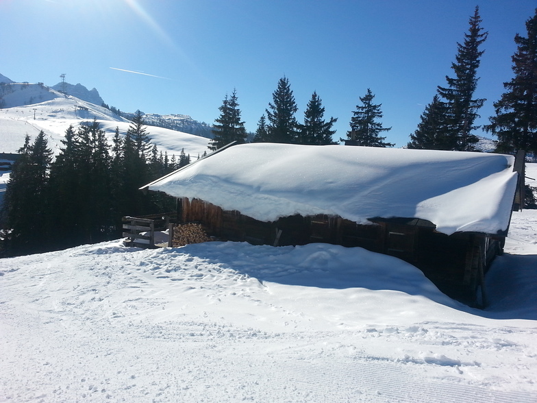
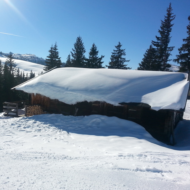
Días 4-6 Resúmen del Tiempo para Lofer
Fuerte lluvia (totál 50.0mm), más pesada durante la noche del viernes. Cálido (max 25°C el viernes por la tarde, min 11°C el domingo por la noche). El viento será generalmente ligero.
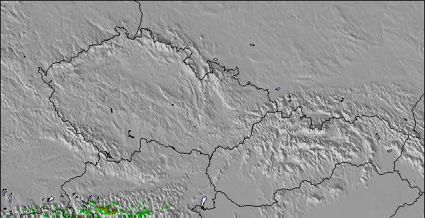
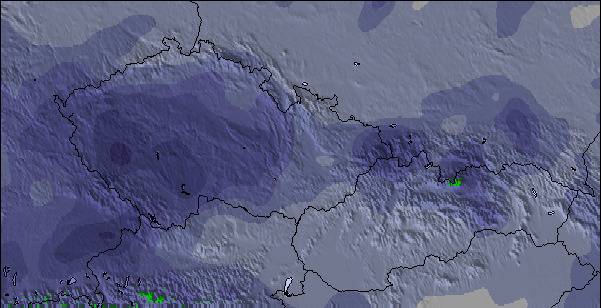
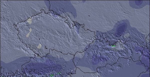
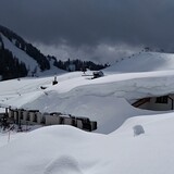
La tabla anterior muestra el pronóstico de tiempo para Lofer en la altitud específica de 1155 m. Nuestros modelos meteorológicos sofisticados permiten prever pronósticos para la cumbre, la mitad y la base de Lofer. Para aceder a los pronósticos de tiempo a otras alturas, pinche en la navegación en la parte superior de la tabla. Para una visión general, consulte el Mapa meteorológico de Austria.
Pinche aquí para más información sobre niveles de congelación y sobre cómo pronosticamos las temperaturas.
Comentarios de Visitantes para Lofer
Generalmente 3.6 En base a 14 votos y 5 comentarios
Just got back from a great week's skiing in Lofer. Have to agree with previous posts, made for families. Only negative is our experience on the four man lift, arriving before the 4pm closing time, found the station closed! After protest we were allowed access ( 2 children included ), if this hadn't been the case a long hike up the mountain would have faced us. Thought this would have been a one off but the following day we arrived at 3:45 and the lads were cliosing up!!
The lazy, uncaring attitude of the lift staff apart, an ideal resort for families ( just don't ski till the death!)
Generalmente: 3.6 En base a 14 votos y 5 comentarios
Nieve segura
3.9
Variedad de pistas
3.8
Fuera de pista
2.8
Escenografía
4.0
Después del esquí
3.1
Ian unsworth de United Kingdom escribe:
Just got back from a great week's skiing in Lofer. Have to agree with previous posts, made for families. Only negative is our experience on the four man lift, arriving before the 4pm closing time, found the station closed! After protest we were allowed access ( 2 children included ), if this hadn't been the case a long hike up the mountain would have faced us. Thought this would have been a one off but the following day we arrived at 3:45 and the lads were cliosing up!!
The lazy, uncaring attitude of the lift staff apart, an ideal resort for families ( just don't ski till the death!)
Gratis Snow-Forecast.com Widget del Tiempo para su sitio web
El widget del tiempo para esquiar para Lofer está disponible para ser empotrado en sitios web externos sin costo alguno. Proporciona un resumen diario de nuestro pronóstico de nieve en Lofer y estados de tiempo actuales. Vaya simplemente a la página para su configuración y siga los 3 pasos sencillos. Tome el código de transferencia del hipertexto y péguelo en su propio sitio web. Puede escoger la elevación en el pronóstico de nieve (cumbre, ascensor de medio-montaña o fondo) y unidades métrico/imperiales para el motor del pronóstico de nieve y convenir su propio website…. Click aquí para obtener el código


 Nearest