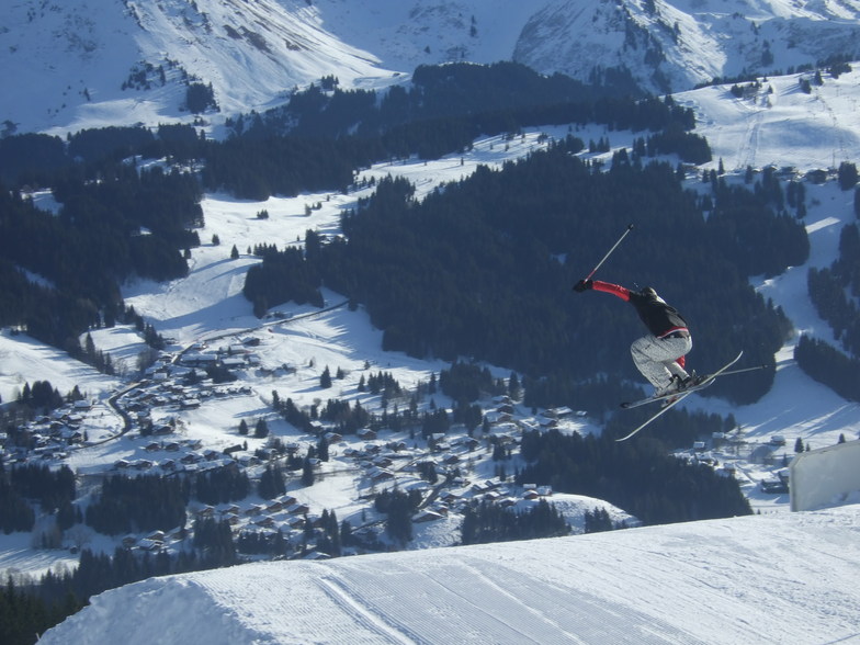


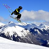
Portillo Re-Opens To Guests Arriving By Helicopter
Chile’s famous Portillo ski resort is reported to have re-opened to guests arriving by helicopter after being cut off by road for more than two weeks by over 6m/20 feet of snowfall.

Next 3 days weather summary:Fuerte lluvia (totál 42.0mm), más pesada durante la tarde de martes. Cálido (max 28°C el lunes por la tarde, min 16°C el lunes por la noche). El viento será generalmente ligero. | Días 4-6 Resúmen del Tiempo para Les GetsLluvia ligera (totál 9.0mm), cayendo mayormente el jueves por la tarde. Cálido (max 23°C el sábado por la tarde, min 13°C el jueves por la noche). El viento será generalmente ligero. | ||||||||||||||||
lun 3 | martes 4 | miércoles 5 | jueves 6 | viernes 7 | sábado 8 | ||||||||||||
tarde | noche | mañana | tarde | noche | mañana | tarde | noche | mañana | tarde | noche | mañana | tarde | noche | mañana | tarde | noche | |
lluvia mod. | chuba scos | claro | riesgo truenos | chuba scos | claro | riesgo truenos | chuba scos | claro | lluvia mod. | chuba scos | claro | semi nublado | claro | claro | claro | claro | |
km/h | |||||||||||||||||
Mapa de Nieve |  |  |  |  |  |  | |||||||||||
— | — | — | — | — | — | — | — | — | — | — | — | — | — | — | — | — | |
mm | 10 | 12 | — | 12 | 6 | — | 1 | 1 | — | 7 | 2 | — | — | — | — | — | — |
max °C | 28 | 18 | 23 | 25 | 17 | 22 | 24 | 21 | 22 | 21 | 17 | 18 | 21 | 19 | 20 | 23 | 20 |
min °C | 18 | 16 | 18 | 19 | 16 | 18 | 24 | 16 | 18 | 18 | 13 | 15 | 20 | 14 | 16 | 23 | 15 |
chill °C | 18 | 16 | 18 | 19 | 16 | 18 | 24 | 16 | 18 | 18 | 13 | 15 | 20 | 14 | 16 | 23 | 15 |
Humed. % | 82 | 65 | 56 | 77 | 68 | 58 | 50 | 62 | 63 | 84 | 83 | 78 | 63 | 70 | 59 | 38 | 47 |
Altura de Hielo m | 4300 | 4550 | 4450 | 4300 | 4400 | 4300 | 4300 | 4400 | 4250 | 4150 | 4200 | 4100 | 4200 | 4300 | 4350 | 4350 | 4500 |
— | — | 6:18 | — | — | 6:18 | — | — | 6:20 | — | — | 6:20 | — | — | 6:22 | — | — | |
— | 9:00 | — | — | 9:00 | — | — | 8:58 | — | — | 8:57 | — | — | 8:54 | — | — | 8:53 | |
Hazte pro y carve en:
Información de avalanchas: European Avalanche Warning Services (EAWS)
Ultimo parte de nieve cerca Les Gets:
| Profundidad de nieve arriba: | — |
|---|---|
| Profundidad de nieve abajo: | — |
| Profundidad de la nevada fresca: | — |
| Última nevada: | 16 May 2026 |
0.0 | Dias de Nieve en Polvo Nieve fresca, mayormente soleado, viento suave. |
|---|---|
0.0 | Dias de nieve en polvo Nieve fresca, sol limitado, sin viento. |
0.0 | Dia perfecto para esquiar Nieve promedio, mayormente soleado, viento suave. |
La tabla anterior muestra el pronóstico de tiempo para Les Gets en la altitud específica de 1172 m. Nuestros modelos meteorológicos sofisticados permiten prever pronósticos para la cumbre, la mitad y la base de Les Gets. Para aceder a los pronósticos de tiempo a otras alturas, pinche en la navegación en la parte superior de la tabla. Para una visión general, consulte el Mapa meteorológico de France.
Pinche aquí para más información sobre niveles de congelación y sobre cómo pronosticamos las temperaturas.
Generalmente 4.3 En base a 61 votos y 36 comentarios
I have been driving clients to and from Les Gets for over 10 years. This family ski resort never fails to deliver unbeatable surprises, short transfer time, fantastic slopes for all standards and fun place to sample off-piste fun. Plenty of English speaking French, all willing to help you have the ski holiday of a lifetime.
Summit Transfers de France escribe:
I have been driving clients to and from Les Gets for over 10 years. This family ski resort never fails to deliver unbeatable surprises, short transfer time, fantastic slopes for all standards and fun place to sample off-piste fun. Plenty of English speaking French, all willing to help you have the ski holiday of a lifetime.
Lea 35 otras críticas de Les Gets o entrega su propio comentario


 Nearest