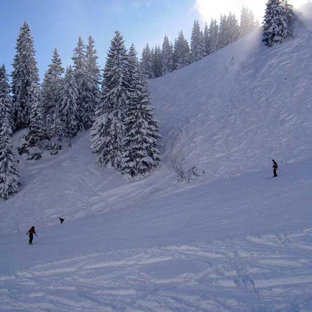
Previsión meteorológica para Lenggries en1700m altitud
Emitido: 7 am 16 Jul 2026 (hora local)
Previsión de nieve actualizada en hora Min
View forecast
Lenggriesat 1700 m altitud
Emitido por Snow-Forescast.com a:7 am (hora local) / 16 Jul 2026
Últimos 6 díasDesplázate a la izquierda para los últimos 6 díasAhora
Next 3 days weather summary:
Fuerte lluvia (totál 31.0mm), más pesada durante la noche de jueves. Cálido (max 20°C el jueves por la tarde, min 12°C el sábado por la noche). El viento será generalmente ligero.
Días 4-6 Resúmen del Tiempo para Lenggries
Fuerte lluvia (totál 21.0mm), más pesada durante la tarde de domingo. Muy templado (max 13°C el domingo por la mañana, min 7°C el domingo por la noche). Mayormente vientos frescos.
La tabla anterior muestra el pronóstico de tiempo para Lenggries en la altitud específica de 1700 m. Nuestros modelos meteorológicos sofisticados permiten prever pronósticos para la cumbre, la mitad y la base de Lenggries. Para aceder a los pronósticos de tiempo a otras alturas, pinche en la navegación en la parte superior de la tabla. Para una visión general, consulte el Mapa meteorológico de Germany.
Pinche aquí para más información sobre niveles de congelación y sobre cómo pronosticamos las temperaturas.
Comentarios de Visitantes para Lenggries
Generalmente 4.2 En base a 11 votos y 2 comentarios
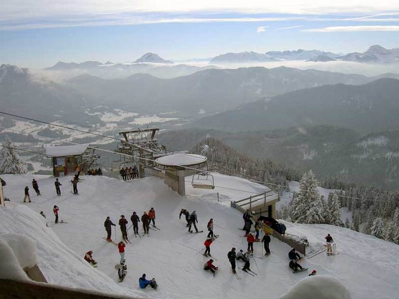
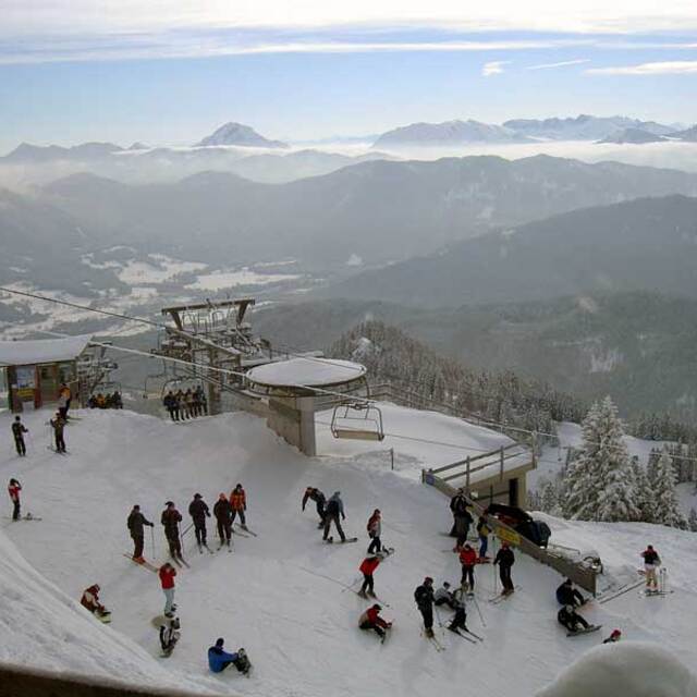
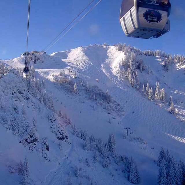
A great working bavarian village, an hours drive from Munich airport, probably more suited to a long weekend rather than a week. Our children learnt to ski on the small uncrowded, and cheap runs of the wegshied. Very limited skiing for the Big kids, just a couple of blacks and a handful of reds on the brauneck, all skied in a morning. However as a first ski for kids it cannot be faulted, it is very child friendly. when youve had enough skiing hire a toboggan or go to the swimming pool/spa (half inside, half outside)and swim whilst admiring the slopes. Great restaurants, not crowded or overpriced. Great Bavarian fodder...filling with a sprinkling of lederhosen. We thoroughly recommend the 'bunker' for a great meal by an open fire, and schwarz on the crossing for strudel and hot chocolates. Lots of good accomodation to be found. Chocolate box houses, and very large apartments. We have stayed in a couple, very clean and very reasonably priced even at Easter/half term. If you go self catering use the small shops rather than the supermarket...much more fun even if your German is limited. Important to note...little english spoken(hooray!) and credit cards not readily accepted...they like their cash!!
As a ski experience it is very different from the tour packages, full of locals doing what locals do,and the odd ski bodies like our good selves.Don't expect wild apres ski!
Finally if you get there and the snow disappears, head south to Austria....Seefeld only an hours drive away and also great for kids.
Garmish and kitzbul are aslo close if you are easily lured to the glitzy resorts...we know which we prefer.
Hope you enjoy your stay.
Generalmente: 4.2 En base a 11 votos y 2 comentarios
Nieve segura
3.1
Variedad de pistas
4.1
Fuera de pista
3.0
Escenografía
5.0
Después del esquí
3.2
t tHOMPSON de United Kingdom escribe:
A great working bavarian village, an hours drive from Munich airport, probably more suited to a long weekend rather than a week. Our children learnt to ski on the small uncrowded, and cheap runs of the wegshied. Very limited skiing for the Big kids, just a couple of blacks and a handful of reds on the brauneck, all skied in a morning. However as a first ski for kids it cannot be faulted, it is very child friendly. when youve had enough skiing hire a toboggan or go to the swimming pool/spa (half inside, half outside)and swim whilst admiring the slopes. Great restaurants, not crowded or overpriced. Great Bavarian fodder...filling with a sprinkling of lederhosen. We thoroughly recommend the 'bunker' for a great meal by an open fire, and schwarz on the crossing for strudel and hot chocolates. Lots of good accomodation to be found. Chocolate box houses, and very large apartments. We have stayed in a couple, very clean and very reasonably priced even at Easter/half term. If you go self catering use the small shops rather than the supermarket...much more fun even if your German is limited. Important to note...little english spoken(hooray!) and credit cards not readily accepted...they like their cash!!
As a ski experience it is very different from the tour packages, full of locals doing what locals do,and the odd ski bodies like our good selves.Don't expect wild apres ski!
Finally if you get there and the snow disappears, head south to Austria....Seefeld only an hours drive away and also great for kids.
Garmish and kitzbul are aslo close if you are easily lured to the glitzy resorts...we know which we prefer.
Hope you enjoy your stay.
Gratis Snow-Forecast.com Widget del Tiempo para su sitio web
El widget del tiempo para esquiar para Lenggries está disponible para ser empotrado en sitios web externos sin costo alguno. Proporciona un resumen diario de nuestro pronóstico de nieve en Lenggries y estados de tiempo actuales. Vaya simplemente a la página para su configuración y siga los 3 pasos sencillos. Tome el código de transferencia del hipertexto y péguelo en su propio sitio web. Puede escoger la elevación en el pronóstico de nieve (cumbre, ascensor de medio-montaña o fondo) y unidades métrico/imperiales para el motor del pronóstico de nieve y convenir su propio website…. Click aquí para obtener el código


 Nearest