

Portillo Storm Snowfall Total Passes 5m / 17 Feet
A snow storm that has now continued for nine days has taken Chilean ski resort Portillo to a snowfall total of 5.2 metres (17 feet) so far, with more snow forecast.

Next 3 days weather summary:Algo de llovizna, más pesada durante la noche de miércoles. Cálido (max 28°C el jueves por la tarde, min 15°C el martes por la mañana). El viento será generalmente ligero. | Días 4-6 Resúmen del Tiempo para LenggriesFuerte lluvia (totál 22.0mm), más pesada durante la noche de sábado. Cálido (max 27°C el viernes por la tarde, min 18°C el viernes por la noche). El viento será generalmente ligero. | |||||||||||||||||
martes 28 | miércoles 29 | jueves 30 | viernes 31 | sábado 1 | domingo 2 | |||||||||||||
mañana | tarde | noche | mañana | tarde | noche | mañana | tarde | noche | mañana | tarde | noche | mañana | tarde | noche | mañana | tarde | noche | |
claro | claro | claro | claro | claro | chuba scos | claro | claro | semi nublado | claro | semi nublado | chuba scos | claro | riesgo truenos | chuba scos | claro | chuba scos | chuba scos | |
km/h | ||||||||||||||||||
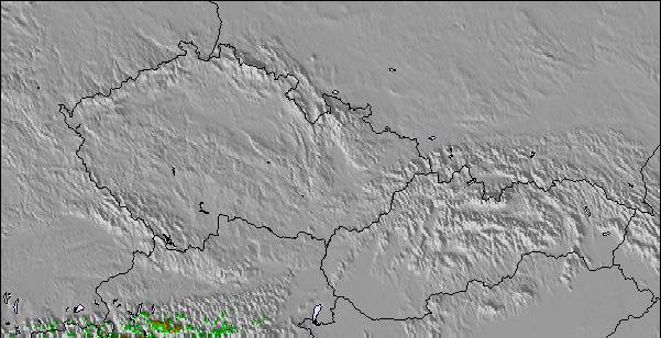
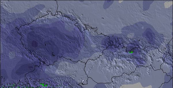
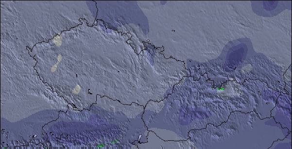
Mapa de Nieve |  |  |  |  |  |  | ||||||||||||
— | — | — | — | — | — | — | — | — | — | — | — | — | — | — | — | — | — | |
mm | — | — | — | — | — | 1 | — | — | — | — | — | 4 | — | 1 | 13 | — | 1 | 3 |
max °C | 17 | 22 | 20 | 23 | 25 | 23 | 26 | 28 | 27 | 25 | 27 | 23 | 25 | 26 | 20 | 24 | 27 | 23 |
min °C | 15 | 21 | 19 | 21 | 25 | 22 | 24 | 28 | 23 | 24 | 26 | 18 | 22 | 22 | 18 | 22 | 24 | 21 |
chill °C | 15 | 21 | 19 | 21 | 25 | 22 | 24 | 28 | 23 | 24 | 26 | 18 | 22 | 22 | 18 | 22 | 24 | 21 |
Humed. % | 68 | 50 | 67 | 48 | 46 | 45 | 28 | 21 | 37 | 33 | 39 | 60 | 42 | 63 | 68 | 45 | 48 | 43 |
Altura de Hielo m | 4350 | 4600 | 4500 | 4300 | 4400 | 4300 | 4350 | 4600 | 4550 | 4600 | 4500 | 4450 | 4550 | 4400 | 4450 | 4500 | 4550 | 4600 |
5:45 | — | — | 5:46 | — | — | 5:47 | — | — | 5:48 | — | — | 5:50 | — | — | 5:50 | — | — | |
— | — | 8:53 | — | — | 8:52 | — | — | 8:52 | — | — | 8:50 | — | — | 8:49 | — | — | 8:46 | |
Hazte pro y carve en:
Información de avalanchas: European Avalanche Warning Services (EAWS)
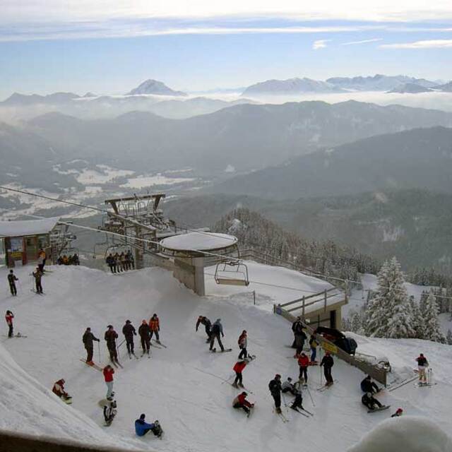
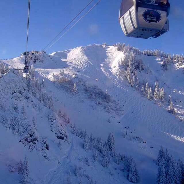
Ultimo parte de nieve cerca Lenggries:
| Profundidad de nieve arriba: | 0 cm |
|---|---|
| Profundidad de nieve abajo: | 0 cm |
| Profundidad de la nevada fresca: | — |
| Última nevada: | 16 May 2026 |
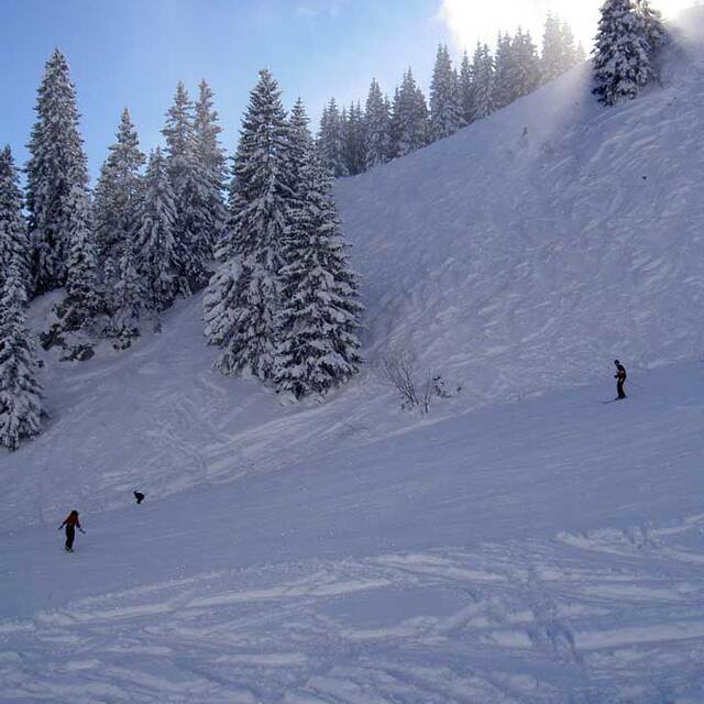
0.0 | Dias de Nieve en Polvo Nieve fresca, mayormente soleado, viento suave. |
|---|---|
0.0 | Dias de nieve en polvo Nieve fresca, sol limitado, sin viento. |
0.0 | Dia perfecto para esquiar Nieve promedio, mayormente soleado, viento suave. |
La tabla anterior muestra el pronóstico de tiempo para Lenggries en la altitud específica de 1200 m. Nuestros modelos meteorológicos sofisticados permiten prever pronósticos para la cumbre, la mitad y la base de Lenggries. Para aceder a los pronósticos de tiempo a otras alturas, pinche en la navegación en la parte superior de la tabla. Para una visión general, consulte el Mapa meteorológico de Germany.
Pinche aquí para más información sobre niveles de congelación y sobre cómo pronosticamos las temperaturas.
Generalmente 4.2 En base a 11 votos y 2 comentarios
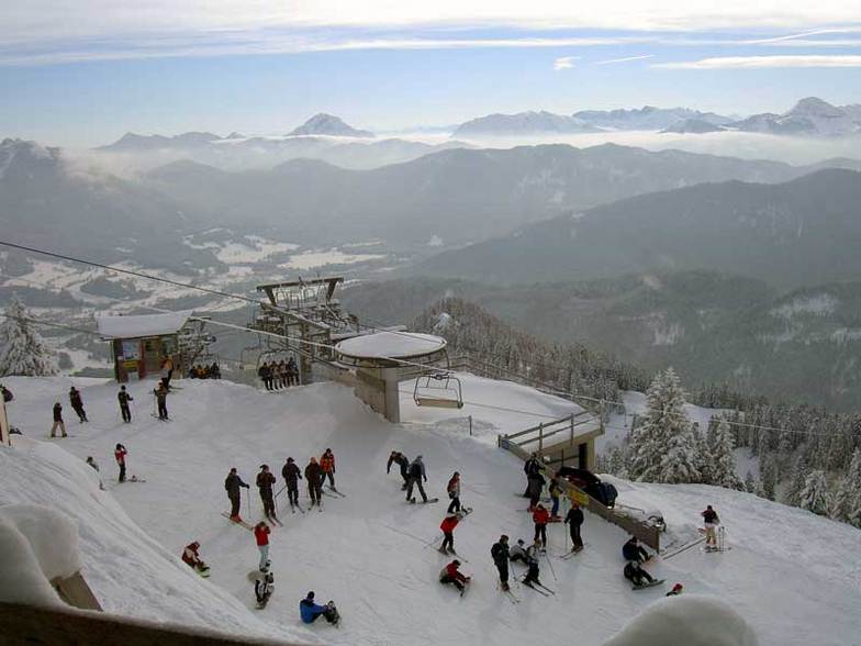
I was a military brat that had the privalidge to grow up and spend 17 years in the Bad Toelz/ Lenggries area. My last 5 years in Germany I lived in Lenggries and can tell you it was an awesome experience. The locals are great and welcoming. I also know many of the bar/restaurant owners personally in town and, more importantly, on the ski slopes. I haven't been to very many resorts/towns in Germany. Austria, Italy or the USA that still have that hometown feeling and are not yet commercialized as if skiing into a McDonalds on the slopes. Lenggries is a very traditional town and yet only 1 hour by train from Munich, which makes it a very popular destination for people in that region. Sure there are larger and more popular resorts to ski in the area, but you can't beat that Bavarian Gemuetlichkeit in Lenggries and the lift ticket prices compared to Garmisch or some of the other larger resorts. I have skied many resorts in southern Europe and am always drawn back to Lenggries every year for that typical Bavarian charm.
GLENN JENSEN de United States escribe:
I was a military brat that had the privalidge to grow up and spend 17 years in the Bad Toelz/ Lenggries area. My last 5 years in Germany I lived in Lenggries and can tell you it was an awesome experience. The locals are great and welcoming. I also know many of the bar/restaurant owners personally in town and, more importantly, on the ski slopes. I haven't been to very many resorts/towns in Germany. Austria, Italy or the USA that still have that hometown feeling and are not yet commercialized as if skiing into a McDonalds on the slopes. Lenggries is a very traditional town and yet only 1 hour by train from Munich, which makes it a very popular destination for people in that region. Sure there are larger and more popular resorts to ski in the area, but you can't beat that Bavarian Gemuetlichkeit in Lenggries and the lift ticket prices compared to Garmisch or some of the other larger resorts. I have skied many resorts in southern Europe and am always drawn back to Lenggries every year for that typical Bavarian charm.
Lea 1 otras críticas de Lenggries o entrega su propio comentario

 Nearest