

Portillo Re-Opens To Guests Arriving By Helicopter
Chile’s famous Portillo ski resort is reported to have re-opened to guests arriving by helicopter after being cut off by road for more than two weeks by over 6m/20 feet of snowfall.

Next 3 days weather summary:Fuerte lluvia (totál 29.0mm), más pesada durante la noche de martes. Cálido (max 23°C el lunes por la tarde, min 14°C el martes por la noche). El viento será generalmente ligero. | Días 4-6 Resúmen del Tiempo para La ClusazLluvia ligera (totál 9.0mm), cayendo mayormente el jueves por la tarde. Muy templado (max 19°C el sábado por la tarde, min 12°C el jueves por la noche). El viento será generalmente ligero. | |||||||||||||||||
lunes 3 | martes 4 | miércoles 5 | jueves 6 | viernes 7 | sábado 8 | |||||||||||||
mañana | tarde | noche | mañana | tarde | noche | mañana | tarde | noche | mañana | tarde | noche | mañana | tarde | noche | mañana | tarde | noche | |
semi nublado | riesgo truenos | chuba scos | claro | riesgo truenos | chuba scos | claro | semi nublado | claro | claro | lluvia mod. | chuba scos | semi nublado | semi nublado | claro | claro | claro | claro | |
km/h | ||||||||||||||||||
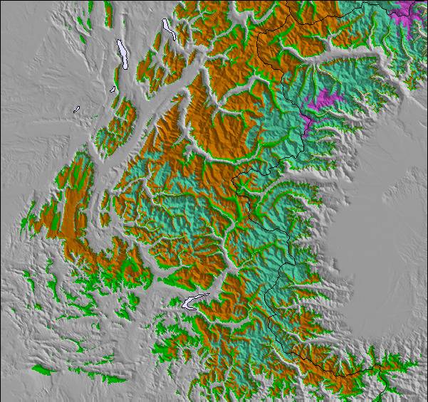
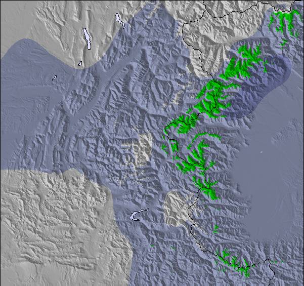
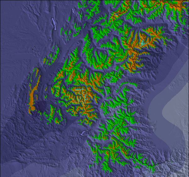
Mapa de Nieve |  |  |  |  |  |  | ||||||||||||
— | — | — | — | — | — | — | — | — | — | — | — | — | — | — | — | — | — | |
mm | — | 4 | 3 | — | 2 | 20 | — | — | — | — | 6 | 3 | — | — | — | — | — | — |
max °C | 21 | 23 | 19 | 18 | 20 | 17 | 18 | 20 | 20 | 17 | 15 | 14 | 12 | 16 | 16 | 15 | 19 | 18 |
min °C | 20 | 19 | 17 | 17 | 19 | 14 | 17 | 20 | 17 | 17 | 14 | 12 | 12 | 14 | 14 | 14 | 18 | 17 |
chill °C | 20 | 19 | 17 | 17 | 19 | 13 | 17 | 20 | 17 | 17 | 14 | 12 | 12 | 14 | 14 | 14 | 18 | 17 |
Humed. % | 43 | 57 | 64 | 63 | 61 | 57 | 55 | 48 | 53 | 65 | 89 | 89 | 85 | 60 | 58 | 55 | 36 | 41 |
Altura de Hielo m | 4550 | 4500 | 4500 | 4450 | 4400 | 4400 | 4300 | 4350 | 4400 | 4300 | 4300 | 4200 | 4200 | 4300 | 4400 | 4350 | 4350 | 4250 |
6:18 | — | — | 6:18 | — | — | 6:20 | — | — | 6:22 | — | — | 6:22 | — | — | 6:24 | — | — | |
— | — | 9:00 | — | — | 9:00 | — | — | 8:58 | — | — | 8:57 | — | — | 8:55 | — | — | 8:53 | |
Hazte pro y carve en:
Información de avalanchas: European Avalanche Warning Services (EAWS)
Ultimo parte de nieve cerca La Clusaz:
| Profundidad de nieve arriba: | 0 cm |
|---|---|
| Profundidad de nieve abajo: | 0 cm |
| Profundidad de la nevada fresca: | — |
| Última nevada: | 16 May 2026 |
0.0 | Dias de Nieve en Polvo Nieve fresca, mayormente soleado, viento suave. |
|---|---|
0.0 | Dias de nieve en polvo Nieve fresca, sol limitado, sin viento. |
0.0 | Dia perfecto para esquiar Nieve promedio, mayormente soleado, viento suave. |

La tabla anterior muestra el pronóstico de tiempo para La Clusaz en la altitud específica de 1742 m. Nuestros modelos meteorológicos sofisticados permiten prever pronósticos para la cumbre, la mitad y la base de La Clusaz. Para aceder a los pronósticos de tiempo a otras alturas, pinche en la navegación en la parte superior de la tabla. Para una visión general, consulte el Mapa meteorológico de France.
Pinche aquí para más información sobre niveles de congelación y sobre cómo pronosticamos las temperaturas.
Generalmente 4.1 En base a 41 votos y 24 comentarios
We went late March, which is always risky in terms of weather and conditions. It was warm and slushy, I'd recommend nothing later than mid March. This was a 4 day trip, we left Luton at 6am Sunday (cheap flight, half empty) and because of the short transfer, we were on the first gondola at 11.30am. That's the key attraction here, the short transfer from Geneva. Given the snow conditions, it's difficult to be fully objective, but a few things stand out. The lift system is generally old and slow, particularly the long and very slow chair at Baime, which does detract from the attraction of that area. Baime is the highest part of the resort and you can ski all the way from the top to the bottom (red and blue). None of the blacks are that steep and seem to be black because they are infrequently groomed. The piste bashers are quite small and narrow, judging from the 'tramlines' that they leave behind, which can make the pistes a bit rutted and uneven in places. Stayed at the Hotel Prestige Odalys, modern, good location. excellent pizzas at the tiny Pizza Minut right by the church. Conclusion: a decent place for a 3/4 day weekend trip, but best to go before mid March.
bradley de United Kingdom escribe:
We went late March, which is always risky in terms of weather and conditions. It was warm and slushy, I'd recommend nothing later than mid March.
This was a 4 day trip, we left Luton at 6am Sunday (cheap flight, half empty) and because of the short transfer, we were on the first gondola at 11.30am. That's the key attraction here, the short transfer from Geneva.
Given the snow conditions, it's difficult to be fully objective, but a few things stand out. The lift system is generally old and slow, particularly the long and very slow chair at Baime, which does detract from the attraction of that area. Baime is the highest part of the resort and you can ski all the way from the top to the bottom (red and blue). None of the blacks are that steep and seem to be black because they are infrequently groomed.
The piste bashers are quite small and narrow, judging from the 'tramlines' that they leave behind, which can make the pistes a bit rutted and uneven in places.
Stayed at the Hotel Prestige Odalys, modern, good location. excellent pizzas at the tiny Pizza Minut right by the church.
Conclusion: a decent place for a 3/4 day weekend trip, but best to go before mid March.
Lea 23 otras críticas de La Clusaz o entrega su propio comentario

 Nearest