Últimos 6 díasDesplázate a la izquierda para los últimos 6 díasAhora
Next 4 days weather summary:
Fuerte lluvia (totál 30.0mm), más pesada durante la noche del viernes. Muy templado (max 16°C el lunes por la tarde, min 10°C el viernes por la noche). El viento será generalmente ligero.
Días 5-7 Resúmen del Tiempo para Kühtai
Lluvia moderada (totál 18.0mm), más pesada el martes por la tarde. Muy templado (max 16°C el martes por la tarde, min 12°C el lunes por la noche). El viento será generalmente ligero.
La tabla anterior muestra el pronóstico de tiempo para Kühtai en la altitud específica de 2520 m. Nuestros modelos meteorológicos sofisticados permiten prever pronósticos para la cumbre, la mitad y la base de Kühtai. Para aceder a los pronósticos de tiempo a otras alturas, pinche en la navegación en la parte superior de la tabla. Para una visión general, consulte el Mapa meteorológico de Austria.
Pinche aquí para más información sobre niveles de congelación y sobre cómo pronosticamos las temperaturas.
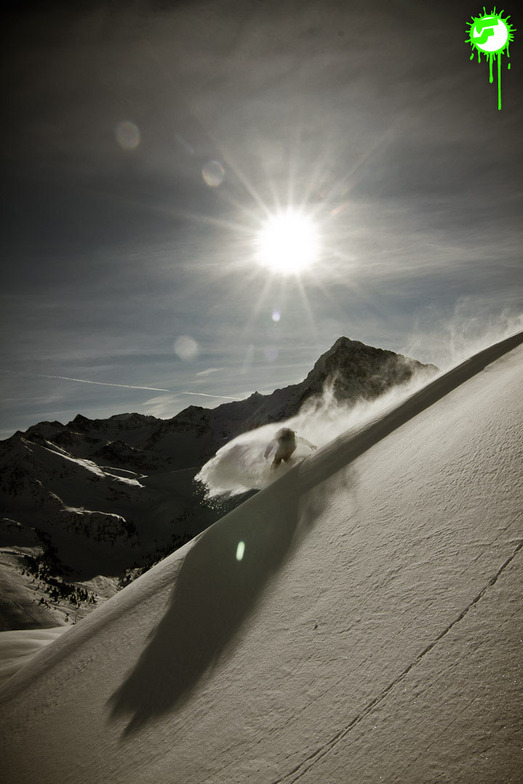
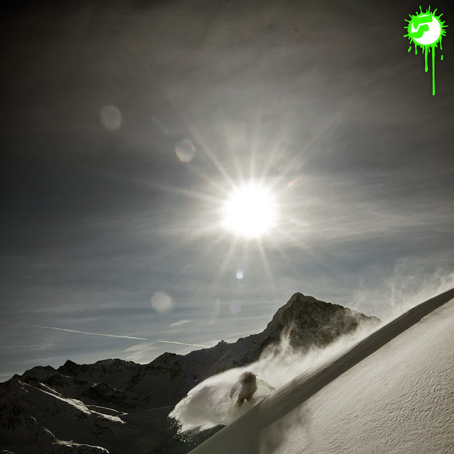
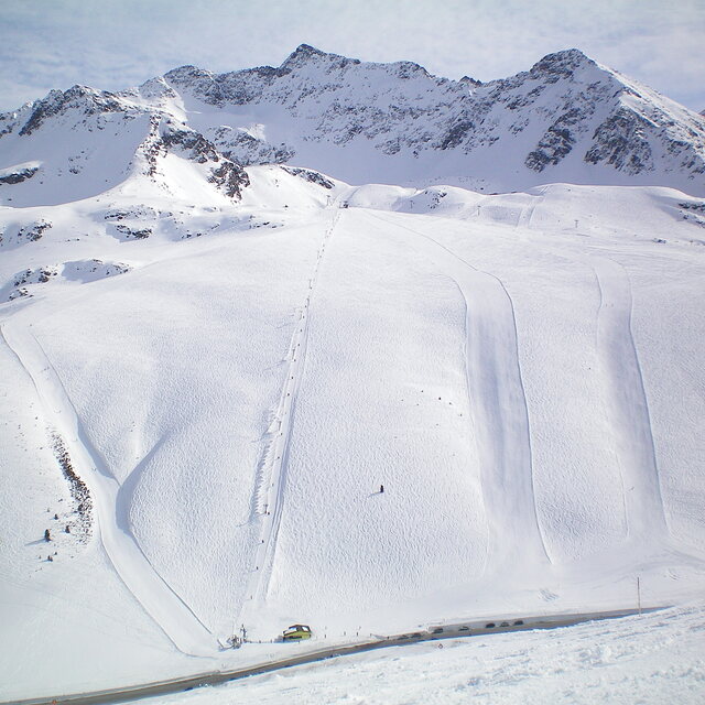
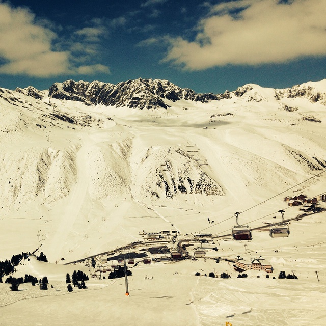
Nombre de la estación también escrito como Kuehtai.
Comentarios de Visitantes para Kühtai
Generalmente 4.1 En base a 23 votos y 7 comentarios
Kuhtai is a small steep resort with limited blue run skiing. There are a couple of blues higher up the mountain but you have to ski down quite a steep red run to get back to base. There is no lift back option unless you're prepared to walk back up the slope to the gondola. Of course this is no problem for most skiers but learners and people lacking in confidence beware. I, on the other hand, am an experienced skier with a 6 year old lad that happens to be fearless so it's great. Hotel Elisabeth is great, on the slope, next to the lift. Kuhtai also has night skiing which is a great experience. It's only 40 mins from Innsbruck Airport, much cheaper than other resorts for ski pass, accommodation etc and is big enough for a small family and the less experienced. If you wish to venture further then you can catch a free bus to a resort down the road. The lift pass covers both resorts. The snow conditions are always good due to it being the highest resort in Austria and the slopes are always well groomed and quite. If you like off-piste then there's a great damm wall you can ski down plus other bits and pieces. There's also a fantastic toboggan run that's about 2 miles long where you can hire a sledge and get a lift. If you want value and quality but can live with a small resort and can ski then it's great. Let's face it, if you find a nice ski run in a large resort then sometimes it's better to ski the one you like rather than traipse from resort to resort and plan to get back on time or you can find yourself stuck in another valley facing a very expensive taxi back. All the ski runs are good and lead back to the main village. Throw the lift pass away and enjoy the slopes!
Generalmente: 4.1 En base a 23 votos y 7 comentarios
Nieve segura
4.9
Variedad de pistas
3.9
Fuera de pista
3.7
Escenografía
4.0
Después del esquí
3.3
Jonathan Brook de United Kingdom escribe:
Kuhtai is a small steep resort with limited blue run skiing. There are a couple of blues higher up the mountain but you have to ski down quite a steep red run to get back to base. There is no lift back option unless you're prepared to walk back up the slope to the gondola. Of course this is no problem for most skiers but learners and people lacking in confidence beware. I, on the other hand, am an experienced skier with a 6 year old lad that happens to be fearless so it's great. Hotel Elisabeth is great, on the slope, next to the lift. Kuhtai also has night skiing which is a great experience. It's only 40 mins from Innsbruck Airport, much cheaper than other resorts for ski pass, accommodation etc and is big enough for a small family and the less experienced. If you wish to venture further then you can catch a free bus to a resort down the road. The lift pass covers both resorts. The snow conditions are always good due to it being the highest resort in Austria and the slopes are always well groomed and quite. If you like off-piste then there's a great damm wall you can ski down plus other bits and pieces. There's also a fantastic toboggan run that's about 2 miles long where you can hire a sledge and get a lift. If you want value and quality but can live with a small resort and can ski then it's great. Let's face it, if you find a nice ski run in a large resort then sometimes it's better to ski the one you like rather than traipse from resort to resort and plan to get back on time or you can find yourself stuck in another valley facing a very expensive taxi back. All the ski runs are good and lead back to the main village. Throw the lift pass away and enjoy the slopes!
Gratis Snow-Forecast.com Widget del Tiempo para su sitio web
El widget del tiempo para esquiar para Kühtai está disponible para ser empotrado en sitios web externos sin costo alguno. Proporciona un resumen diario de nuestro pronóstico de nieve en Kühtai y estados de tiempo actuales. Vaya simplemente a la página para su configuración y siga los 3 pasos sencillos. Tome el código de transferencia del hipertexto y péguelo en su propio sitio web. Puede escoger la elevación en el pronóstico de nieve (cumbre, ascensor de medio-montaña o fondo) y unidades métrico/imperiales para el motor del pronóstico de nieve y convenir su propio website…. Click aquí para obtener el código


 Nearest