Emitido por Snow-Forescast.com a:7 pm (hora local) / 02 Aug 2026
Últimos 6 díasDesplázate a la izquierda para los últimos 6 díasAhora
Next 4 days weather summary:
Lluvia moderada (totál 17.0mm), más pesada el domingo por la noche. Cálido (max 20°C el lunes por la tarde, min 15°C el domingo por la noche). El viento será generalmente ligero.
Días 5-7 Resúmen del Tiempo para Kitzbühel
Fuerte lluvia (totál 66.0mm), más pesada durante la noche de miércoles. Muy templado (max 18°C el jueves por la tarde, min 12°C el jueves por la noche). El viento será generalmente ligero.
La tabla anterior muestra el pronóstico de tiempo para Kitzbühel en la altitud específica de 2000 m. Nuestros modelos meteorológicos sofisticados permiten prever pronósticos para la cumbre, la mitad y la base de Kitzbühel. Para aceder a los pronósticos de tiempo a otras alturas, pinche en la navegación en la parte superior de la tabla. Para una visión general, consulte el Mapa meteorológico de Austria.
Pinche aquí para más información sobre niveles de congelación y sobre cómo pronosticamos las temperaturas.
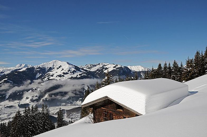
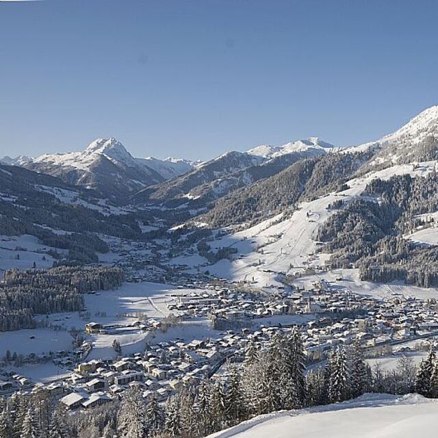
Nombre de la estación también escrito como Kitzbuhel.
Comentarios de Visitantes para Kitzbühel
Generalmente 4.3 En base a 21 votos y 26 comentarios
Big mountain with plenty of runs for any level of rider. When I was here in late February 2019, there hadn't been any fresh snow for at least a week, and the diurnal freeze-thaw cycles made skiing off-piste very rough. Piste skiing became very crowded, although lift lines remained fairly short because of the high speed 8 and 6-pack chairs.
Kitzbuhel is a beer desert! North Americans used to a selection of craft beers in bars will go into shock! Restaurant food is excellent, and prices are about 2/3 to half of what you would pay at US ski areas. Lift tickets are 1/3 the price of western us resorts, which made this trip to Kitz less expensive than going to Colorado, California, or other major Western US resorts. Austrian people have been very friendly, warm, and helpful.
Generalmente: 4.3 En base a 21 votos y 26 comentarios
Nieve segura
4.0
Variedad de pistas
4.4
Fuera de pista
4.2
Escenografía
4.6
Después del esquí
4.3
Bruce G de United States escribe:
Big mountain with plenty of runs for any level of rider. When I was here in late February 2019, there hadn't been any fresh snow for at least a week, and the diurnal freeze-thaw cycles made skiing off-piste very rough. Piste skiing became very crowded, although lift lines remained fairly short because of the high speed 8 and 6-pack chairs.
Kitzbuhel is a beer desert! North Americans used to a selection of craft beers in bars will go into shock! Restaurant food is excellent, and prices are about 2/3 to half of what you would pay at US ski areas. Lift tickets are 1/3 the price of western us resorts, which made this trip to Kitz less expensive than going to Colorado, California, or other major Western US resorts. Austrian people have been very friendly, warm, and helpful.
Gratis Snow-Forecast.com Widget del Tiempo para su sitio web
El widget del tiempo para esquiar para Kitzbühel está disponible para ser empotrado en sitios web externos sin costo alguno. Proporciona un resumen diario de nuestro pronóstico de nieve en Kitzbühel y estados de tiempo actuales. Vaya simplemente a la página para su configuración y siga los 3 pasos sencillos. Tome el código de transferencia del hipertexto y péguelo en su propio sitio web. Puede escoger la elevación en el pronóstico de nieve (cumbre, ascensor de medio-montaña o fondo) y unidades métrico/imperiales para el motor del pronóstico de nieve y convenir su propio website…. Click aquí para obtener el código


 Nearest