Últimos 6 díasDesplázate a la izquierda para los últimos 6 díasAhora
Next 3 days weather summary:
Lluvia ligera (totál 3.0mm), cayendo mayormente el jueves por la tarde. Cálido (max 25°C el sábado por la tarde, min 11°C el jueves por la noche). El viento será generalmente ligero.
Días 4-6 Resúmen del Tiempo para Keystone
Lluvia ligera (totál 5.0mm), cayendo mayormente el martes por la tarde. Cálido (max 26°C el domingo por la tarde, min 9°C el martes por la noche). El viento será generalmente ligero.
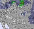
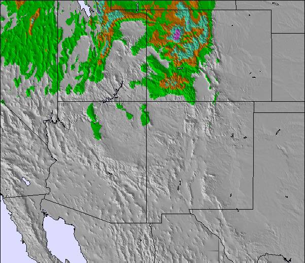
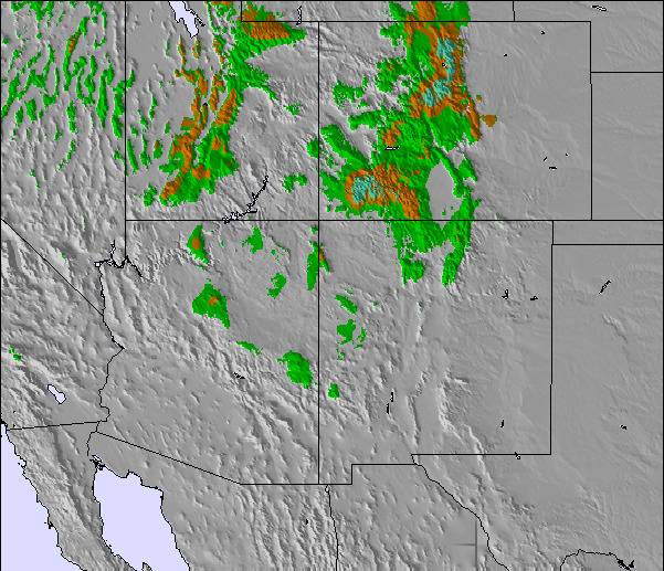
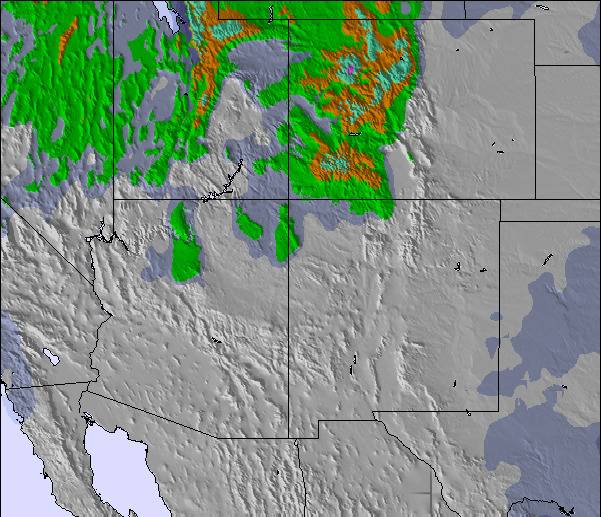
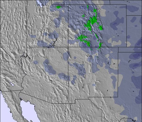
La tabla anterior muestra el pronóstico de tiempo para Keystone en la altitud específica de 2764 m. Nuestros modelos meteorológicos sofisticados permiten prever pronósticos para la cumbre, la mitad y la base de Keystone. Para aceder a los pronósticos de tiempo a otras alturas, pinche en la navegación en la parte superior de la tabla. Para una visión general, consulte el Mapa meteorológico de United States.
Pinche aquí para más información sobre niveles de congelación y sobre cómo pronosticamos las temperaturas.
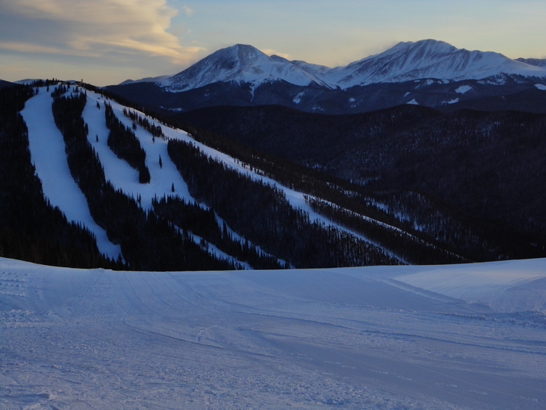
Comentarios de Visitantes para Keystone
Generalmente 4.0 En base a 16 votos y 5 comentarios
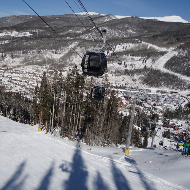
I'm here at Keystone this season and in response to below they now have a $30M upgrade into a new gondola that fits 8 people and gets to the summit in less than 12minutes (fast as) also has a mid station you can down load before the last hard pack snow (bottom of river run) that often gets stripped from beginner snowboarders sliding down it so that has been fixed now. They also have free bus services. As for being bitterly cold, of course this is the rocky mountains, that's why we are here.
Enjoy,
Lee - Snowboard Instructor (Keystone,co and Mt Hutt, NZ)
Email - [email protected]
Generalmente: 4.0 En base a 16 votos y 5 comentarios
Nieve segura
4.7
Variedad de pistas
4.9
Fuera de pista
3.8
Escenografía
4.1
Después del esquí
4.0
Lee Wilson (970)368-0165 de New Zealand escribe:
I'm here at Keystone this season and in response to below they now have a $30M upgrade into a new gondola that fits 8 people and gets to the summit in less than 12minutes (fast as) also has a mid station you can down load before the last hard pack snow (bottom of river run) that often gets stripped from beginner snowboarders sliding down it so that has been fixed now. They also have free bus services. As for being bitterly cold, of course this is the rocky mountains, that's why we are here.
Enjoy,
Lee - Snowboard Instructor (Keystone,co and Mt Hutt, NZ)
Email - [email protected]
Gratis Snow-Forecast.com Widget del Tiempo para su sitio web
El widget del tiempo para esquiar para Keystone está disponible para ser empotrado en sitios web externos sin costo alguno. Proporciona un resumen diario de nuestro pronóstico de nieve en Keystone y estados de tiempo actuales. Vaya simplemente a la página para su configuración y siga los 3 pasos sencillos. Tome el código de transferencia del hipertexto y péguelo en su propio sitio web. Puede escoger la elevación en el pronóstico de nieve (cumbre, ascensor de medio-montaña o fondo) y unidades métrico/imperiales para el motor del pronóstico de nieve y convenir su propio website…. Click aquí para obtener el código


 Nearest