Últimos 6 díasDesplázate a la izquierda para los últimos 6 díasAhora
Next 3 days weather summary:
Fuerte lluvia (totál 21.0mm), más pesada durante la noche de martes. Muy templado (max 17°C el jueves por la tarde, min 11°C el martes por la noche). El viento será generalmente ligero.
Días 4-6 Resúmen del Tiempo para Igls
Fuerte lluvia (totál 44.0mm), más pesada durante la noche del viernes. Muy templado (max 17°C el viernes por la tarde, min 5°C el domingo por la noche). El viento será generalmente ligero.
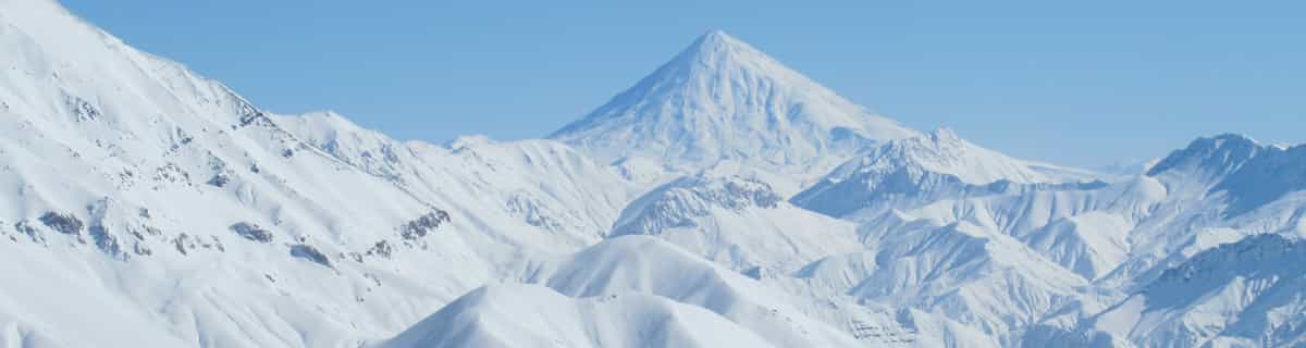
La tabla anterior muestra el pronóstico de tiempo para Igls en la altitud específica de 2247 m. Nuestros modelos meteorológicos sofisticados permiten prever pronósticos para la cumbre, la mitad y la base de Igls. Para aceder a los pronósticos de tiempo a otras alturas, pinche en la navegación en la parte superior de la tabla. Para una visión general, consulte el Mapa meteorológico de Austria.
Pinche aquí para más información sobre niveles de congelación y sobre cómo pronosticamos las temperaturas.
Comentarios de Visitantes para Igls
Generalmente 3.7 En base a 2 votos y 2 comentarios
18-01-06 to 21-01-06
Well what can I say, the snow was awesome, out of this world. Food in the mountains was superb, highly recommend the goulash soup, top grub, can't beat it, and reasonably priced.
We went on the three night trip with Lastminute.com (bargain at £99) and enjoyed two full days skiing on fresh powder on uncrowded pistes.
We stayed at the Gruberhof Hotel which although resembled 30's Moscow, we could not fault the hospitality and food; it more than made up for it.
If you want a short skiing break in Austria, with a short transfer (25 mins) on a scheduled flight then its "Happy Days".
Generalmente: 3.7 En base a 2 votos y 2 comentarios
Nieve segura
3.0
Variedad de pistas
3.0
Escenografía
4.0
Después del esquí
3.0
Acceso
5.0
Philip Yates de United Kingdom escribe:
18-01-06 to 21-01-06
Well what can I say, the snow was awesome, out of this world. Food in the mountains was superb, highly recommend the goulash soup, top grub, can't beat it, and reasonably priced.
We went on the three night trip with Lastminute.com (bargain at £99) and enjoyed two full days skiing on fresh powder on uncrowded pistes.
We stayed at the Gruberhof Hotel which although resembled 30's Moscow, we could not fault the hospitality and food; it more than made up for it.
If you want a short skiing break in Austria, with a short transfer (25 mins) on a scheduled flight then its "Happy Days".
Gratis Snow-Forecast.com Widget del Tiempo para su sitio web
El widget del tiempo para esquiar para Igls está disponible para ser empotrado en sitios web externos sin costo alguno. Proporciona un resumen diario de nuestro pronóstico de nieve en Igls y estados de tiempo actuales. Vaya simplemente a la página para su configuración y siga los 3 pasos sencillos. Tome el código de transferencia del hipertexto y péguelo en su propio sitio web. Puede escoger la elevación en el pronóstico de nieve (cumbre, ascensor de medio-montaña o fondo) y unidades métrico/imperiales para el motor del pronóstico de nieve y convenir su propio website…. Click aquí para obtener el código


 Nearest