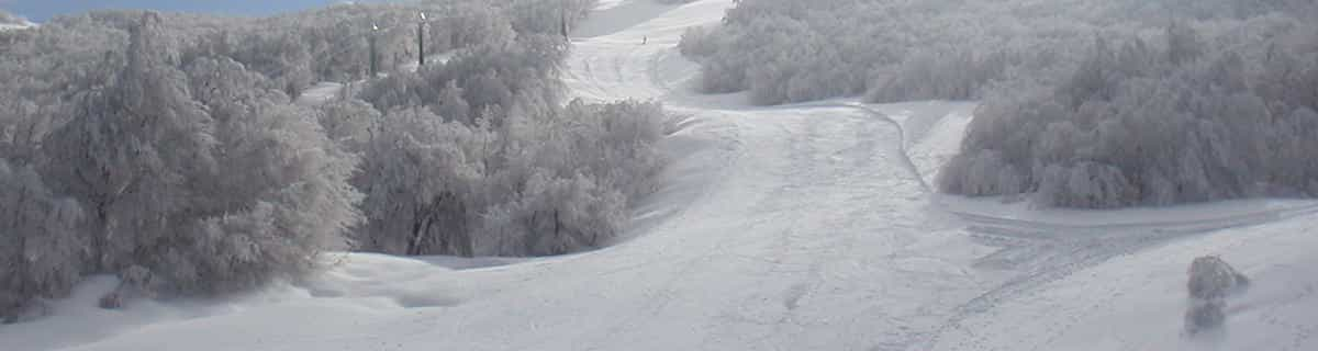


Portillo Re-Opens To Guests Arriving By Helicopter
Chile’s famous Portillo ski resort is reported to have re-opened to guests arriving by helicopter after being cut off by road for more than two weeks by over 6m/20 feet of snowfall.

Next 3 days weather summary:Lluvia ligera (totál 2.0mm), cayendo mayormente el miércoles por la tarde. Cálido (max 21°C el martes por la tarde, min 16°C el lunes por la mañana). El viento será generalmente ligero. | Días 4-6 Resúmen del Tiempo para GerlitzenFuerte lluvia (totál 45.0mm), más pesada durante la noche del viernes. Cálido (max 21°C el jueves por la tarde, min 11°C el sábado por la mañana). El viento será generalmente ligero. | |||||||||||||||||
lunes 3 | martes 4 | miércoles 5 | jueves 6 | viernes 7 | sábado 8 | |||||||||||||
mañana | tarde | noche | mañana | tarde | noche | mañana | tarde | noche | mañana | tarde | noche | mañana | tarde | noche | mañana | tarde | noche | |
semi nublado | claro | claro | claro | claro | claro | claro | riesgo truenos | semi nublado | semi nublado | claro | chuba scos | chuba scos | fuerte lluvia | chuba scos | semi nublado | riesgo truenos | chuba scos | |
km/h | ||||||||||||||||||
Mapa de Nieve |  |  |  |  |  |  | ||||||||||||
— | — | — | — | — | — | — | — | — | — | — | — | — | — | — | — | — | — | |
mm | — | — | — | — | — | — | — | 2 | — | — | — | 3 | 1 | 14 | 24 | — | 1 | 2 |
max °C | 17 | 20 | 20 | 18 | 21 | 20 | 18 | 20 | 19 | 18 | 21 | 18 | 14 | 16 | 13 | 12 | 14 | 14 |
min °C | 16 | 19 | 17 | 17 | 20 | 18 | 17 | 18 | 18 | 17 | 20 | 14 | 13 | 12 | 12 | 11 | 14 | 13 |
chill °C | 16 | 19 | 17 | 17 | 20 | 18 | 17 | 18 | 18 | 17 | 20 | 14 | 13 | 10 | 12 | 11 | 14 | 13 |
Humed. % | 49 | 45 | 45 | 49 | 46 | 56 | 58 | 54 | 53 | 52 | 43 | 49 | 72 | 90 | 77 | 88 | 78 | 77 |
Altura de Hielo m | 4350 | 4450 | 4500 | 4500 | 4500 | 4550 | 4450 | 4500 | 4500 | 4450 | 4600 | 4450 | 4250 | 3900 | 4100 | 4050 | 4100 | 4200 |
5:46 | — | — | 5:47 | — | — | 5:48 | — | — | 5:48 | — | — | 5:50 | — | — | 5:52 | — | — | |
— | — | 8:34 | — | — | 8:31 | — | — | 8:30 | — | — | 8:29 | — | — | 8:28 | — | — | 8:25 | |
Hazte pro y carve en:
Información de avalanchas: European Avalanche Warning Services (EAWS)
Ultimo parte de nieve cerca Gerlitzen:
| Profundidad de nieve arriba: | 0 cm |
|---|---|
| Profundidad de nieve abajo: | 0 cm |
| Profundidad de la nevada fresca: | — |
| Última nevada: | 15 May 2026 |
0.0 | Dias de Nieve en Polvo Nieve fresca, mayormente soleado, viento suave. |
|---|---|
0.0 | Dias de nieve en polvo Nieve fresca, sol limitado, sin viento. |
0.0 | Dia perfecto para esquiar Nieve promedio, mayormente soleado, viento suave. |
La tabla anterior muestra el pronóstico de tiempo para Gerlitzen en la altitud específica de 1911 m. Nuestros modelos meteorológicos sofisticados permiten prever pronósticos para la cumbre, la mitad y la base de Gerlitzen. Para aceder a los pronósticos de tiempo a otras alturas, pinche en la navegación en la parte superior de la tabla. Para una visión general, consulte el Mapa meteorológico de Austria.
Pinche aquí para más información sobre niveles de congelación y sobre cómo pronosticamos las temperaturas.
Generalmente 3.9 En base a 14 votos y 5 comentarios
We have come back to Gerlitzen for a second time having visited with our young family back in 2012. Our kids are now a little older and we have come with other family members this time (7 kids and 8 adults!) I cannot recommend this lovely family friendly resort enough. Austrian people are very kind and welcoming and our children thrived in the very well run but still very personable ski school. The mountain itself is extremely well run, the pistes are immaculate and the lifts are excellent. There is a great deal of skiing available for a small resort and everything is run with great efficiency and courtesy. Unlike some big resorts in France and Switzerland there is a real personal feel to the whole resort, from ski hire, ski school and every bar or hostelry on the mountain. The prices are excellent and seeing what goes into keeping the pistes in great shape (snow machines, piste machines working all hours) I believe he price of skiing to be very good value here. Likewise, one can eat and drink on the mountain for very reasonable prices. A delicious goulash soup with bread is only 4.90 euros and a pint of the local (and very good) Villacher beer is only 3.80 euros. That's less than my local pub and we are halfway up a mountain! I have nothing but praise for this excellent resort and cannot recommend it highly enough.
Will Gooda de Austria escribe:
We have come back to Gerlitzen for a second time having visited with our young family back in 2012. Our kids are now a little older and we have come with other family members this time (7 kids and 8 adults!) I cannot recommend this lovely family friendly resort enough. Austrian people are very kind and welcoming and our children thrived in the very well run but still very personable ski school. The mountain itself is extremely well run, the pistes are immaculate and the lifts are excellent. There is a great deal of skiing available for a small resort and everything is run with great efficiency and courtesy. Unlike some big resorts in France and Switzerland there is a real personal feel to the whole resort, from ski hire, ski school and every bar or hostelry on the mountain. The prices are excellent and seeing what goes into keeping the pistes in great shape (snow machines, piste machines working all hours) I believe he price of skiing to be very good value here. Likewise, one can eat and drink on the mountain for very reasonable prices. A delicious goulash soup with bread is only 4.90 euros and a pint of the local (and very good) Villacher beer is only 3.80 euros. That's less than my local pub and we are halfway up a mountain!
I have nothing but praise for this excellent resort and cannot recommend it highly enough.
Lea 4 otras críticas de Gerlitzen o entrega su propio comentario


 Nearest