

Portillo Storm Snowfall Total Passes 5m / 17 Feet
A snow storm that has now continued for nine days has taken Chilean ski resort Portillo to a snowfall total of 5.2 metres (17 feet) so far, with more snow forecast.

Next 3 days weather summary:Lluvia ligera (totál 3.0mm), cayendo mayormente el martes por la noche. Cálido (max 27°C el miércoles por la tarde, min 12°C el lunes por la mañana). El viento será generalmente ligero. | Días 4-6 Resúmen del Tiempo para CourchevelLluvia ligera (totál 5.0mm), cayendo mayormente el viernes por la noche. Cálido (max 31°C el viernes por la tarde, min 16°C el viernes por la noche). El viento será generalmente ligero. | |||||||||||||||||
lunes 27 | martes 28 | miércoles 29 | jueves 30 | viernes 31 | sábado 1 | |||||||||||||
mañana | tarde | noche | mañana | tarde | noche | mañana | tarde | noche | mañana | tarde | noche | mañana | tarde | noche | mañana | tarde | noche | |
semi nublado | claro | claro | claro | claro | riesgo truenos | claro | claro | claro | claro | claro | claro | claro | semi nublado | chuba scos | riesgo truenos | chuba scos | claro | |
km/h | ||||||||||||||||||
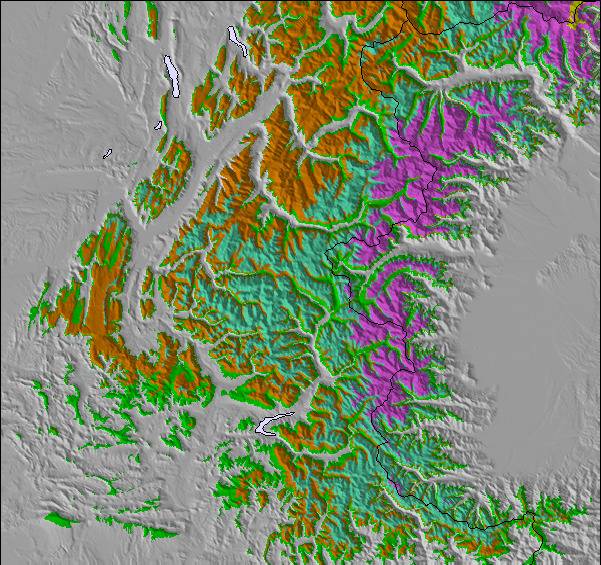
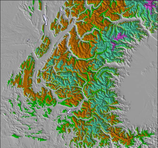
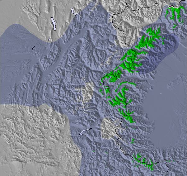
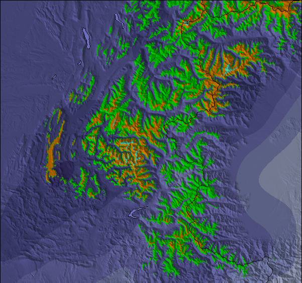
Mapa de Nieve |  |  |  |  |  |  | ||||||||||||
— | — | — | — | — | — | — | — | — | — | — | — | — | — | — | — | — | — | |
mm | — | — | — | — | — | 3 | — | — | — | — | — | — | — | — | 2 | 2 | 1 | — |
max °C | 16 | 22 | 19 | 23 | 26 | 22 | 24 | 27 | 23 | 27 | 29 | 25 | 28 | 31 | 25 | 22 | 26 | 22 |
min °C | 12 | 21 | 13 | 16 | 26 | 17 | 19 | 26 | 17 | 20 | 29 | 19 | 21 | 31 | 16 | 16 | 25 | 17 |
chill °C | 12 | 21 | 13 | 16 | 26 | 17 | 19 | 26 | 17 | 20 | 29 | 19 | 21 | 31 | 16 | 16 | 25 | 17 |
Humed. % | 69 | 51 | 73 | 49 | 47 | 76 | 54 | 34 | 46 | 27 | 24 | 51 | 29 | 22 | 54 | 63 | 34 | 49 |
Altura de Hielo m | 4400 | 4450 | 4800 | 4600 | 4750 | 4500 | 4450 | 4700 | 4750 | 4700 | 4900 | 4800 | 4800 | 4950 | 4750 | 4450 | 4600 | 4550 |
6:11 | — | — | 6:11 | — | — | 6:13 | — | — | 6:13 | — | — | 6:15 | — | — | 6:16 | — | — | |
— | — | 9:07 | — | — | 9:06 | — | — | 9:05 | — | — | 9:04 | — | — | 9:02 | — | — | 9:01 | |
Hazte pro y carve en:
Información de avalanchas: European Avalanche Warning Services (EAWS)
Ultimo parte de nieve cerca Courchevel:
| Profundidad de nieve arriba: | 0 cm |
|---|---|
| Profundidad de nieve abajo: | 0 cm |
| Profundidad de la nevada fresca: | — |
| Última nevada: | 18 May 2026 |
0.0 | Dias de Nieve en Polvo Nieve fresca, mayormente soleado, viento suave. |
|---|---|
0.0 | Dias de nieve en polvo Nieve fresca, sol limitado, sin viento. |
0.0 | Dia perfecto para esquiar Nieve promedio, mayormente soleado, viento suave. |
La tabla anterior muestra el pronóstico de tiempo para Courchevel en la altitud específica de 1338 m. Nuestros modelos meteorológicos sofisticados permiten prever pronósticos para la cumbre, la mitad y la base de Courchevel. Para aceder a los pronósticos de tiempo a otras alturas, pinche en la navegación en la parte superior de la tabla. Para una visión general, consulte el Mapa meteorológico de France.
Pinche aquí para más información sobre niveles de congelación y sobre cómo pronosticamos las temperaturas.
Generalmente 4.3 En base a 68 votos y 68 comentarios
We stayed in Courchevel 1650 (Moriond) and had a great time. It's at the far left end of the piste map and with very changeable weather we didn't make it as far as Val Thorens or Les Minueires but we did have one run down to St Martin. If you are planning a big ranging day from 1650, it's worth getting one of the very regular buses up to 1850 where the Verdons then Viselle or Saulire lifts will drop you over Meribel really quickly. Otherwise, 1650s ageing Arondinaz bubble will slowly get you above some lifts to take you to the same place. The skiing above 1650 is great with gentle wide blues, a few greens and a few good reds; all with great views. One thing to note, the Vallee des Avals accessible from here with a short hike is a great adventure but quite a serious avalanche risk (the clue's in the name) so take a guide if unsure. It's also got a longish hike at the bottom back to the lifts. The rest of the skiing in Courchevel and the 3 vallees is as good as everyone says. We went in the last of the French half term weeks and found a fair bit of piste-side powder although it was snowing a lot! Queues in the Courchevel valley were very short but the Chaudanne in Meribel was really packed at times. Mottaret seemed easier to get through. The village itself is cute enough but not Austrian chocolate box perfection. There are some good bars and our favourite was the Schuss Bar over the road from the bubble. Prices in 1650 are fairly high (7 euros for a pint) but not as bad as we'd feared. It's definitely not going after the same brash loaded crowd as 1850.
Martin Dore de United Kingdom escribe:
We stayed in Courchevel 1650 (Moriond) and had a great time. It's at the far left end of the piste map and with very changeable weather we didn't make it as far as Val Thorens or Les Minueires but we did have one run down to St Martin. If you are planning a big ranging day from 1650, it's worth getting one of the very regular buses up to 1850 where the Verdons then Viselle or Saulire lifts will drop you over Meribel really quickly. Otherwise, 1650s ageing Arondinaz bubble will slowly get you above some lifts to take you to the same place.
The skiing above 1650 is great with gentle wide blues, a few greens and a few good reds; all with great views. One thing to note, the Vallee des Avals accessible from here with a short hike is a great adventure but quite a serious avalanche risk (the clue's in the name) so take a guide if unsure. It's also got a longish hike at the bottom back to the lifts. The rest of the skiing in Courchevel and the 3 vallees is as good as everyone says. We went in the last of the French half term weeks and found a fair bit of piste-side powder although it was snowing a lot! Queues in the Courchevel valley were very short but the Chaudanne in Meribel was really packed at times. Mottaret seemed easier to get through.
The village itself is cute enough but not Austrian chocolate box perfection. There are some good bars and our favourite was the Schuss Bar over the road from the bubble. Prices in 1650 are fairly high (7 euros for a pint) but not as bad as we'd feared. It's definitely not going after the same brash loaded crowd as 1850.
Lea 67 otras críticas de Courchevel o entrega su propio comentario

 Nearest