Últimos 6 díasDesplázate a la izquierda para los últimos 6 díasAhora
Next 4 days weather summary:
Mayormente seco. condiciones de congelación y descongelación (max 2°C el martes por la mañana, min -6°C el sábado por la noche). El viento será generalmente ligero.
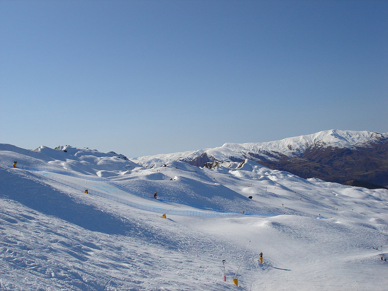
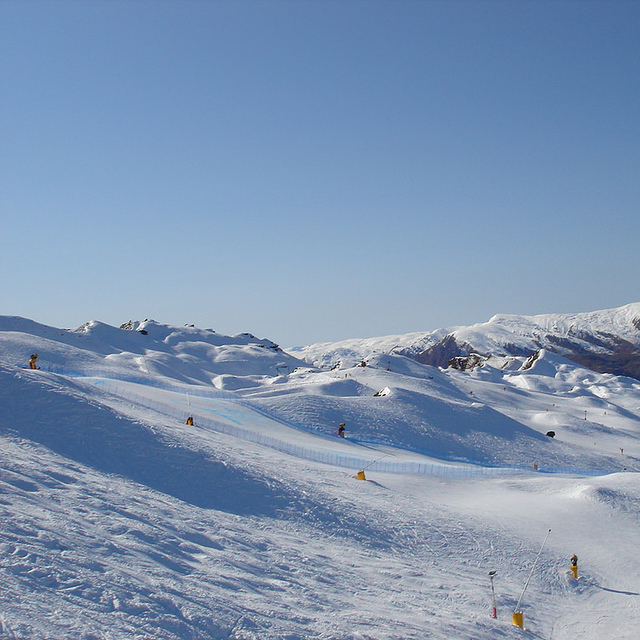
Días 5-7 Resúmen del Tiempo para Coronet Peak
Nueva capa fina de nieve, cayendo mayormente el jueves por la noche. condiciones de congelación y descongelación (max 1°C el martes por la noche, min -2°C el jueves por la noche). Vientos decreciente (vientos frescos desde el N el jueves por la tarde, Vientos ligeros desde el ENE por la mañana de viernes).
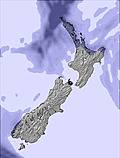
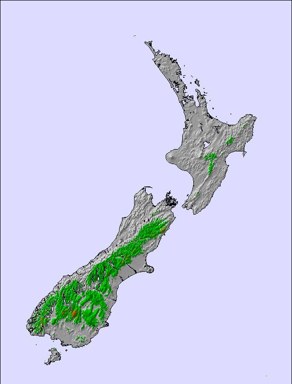
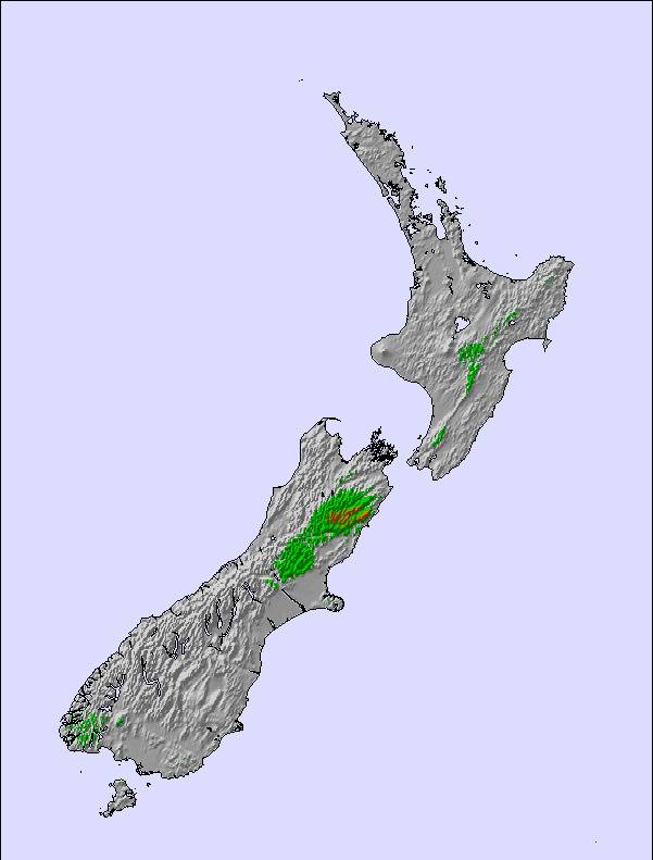
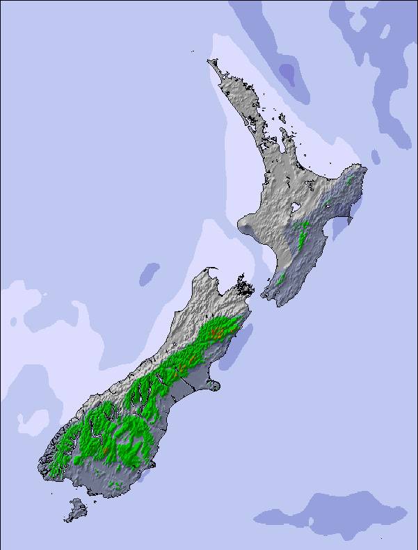
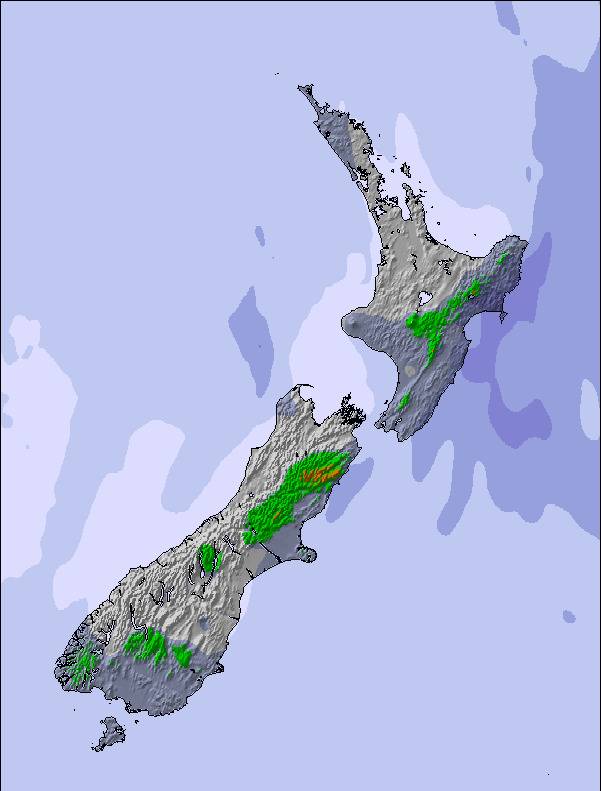
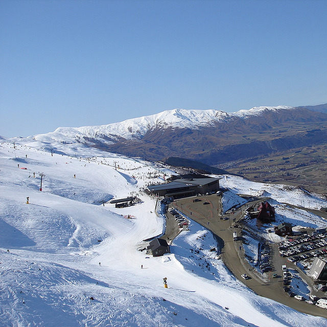
La tabla anterior muestra el pronóstico de tiempo para Coronet Peak en la altitud específica de 1649 m. Nuestros modelos meteorológicos sofisticados permiten prever pronósticos para la cumbre, la mitad y la base de Coronet Peak. Para aceder a los pronósticos de tiempo a otras alturas, pinche en la navegación en la parte superior de la tabla. Para una visión general, consulte el Mapa meteorológico de New Zealand.
Pinche aquí para más información sobre niveles de congelación y sobre cómo pronosticamos las temperaturas.
Comentarios de Visitantes para Coronet Peak
Generalmente 3.7 En base a 27 votos y 23 comentarios
Glad that NZ Ski has put in a lot of snowmaking machines, pretty much wouldn't have had a season without them. Fingers crossed for next year. Have had some unusual lift closures this year, the local word is it is due to lack of staff and lack of training, ie. starting lifts without de-icing first! Way too expensive for what you get. A tiny field compared to overseas, generally poor snow but can be good for a few hours after a dump. Staff generally friendly this season. Food way too dear and they closed the café side early this year due to lack of people/staff. Probably won't buy a seasons pass this year. Will just pick the good days.
Generalmente: 3.7 En base a 27 votos y 23 comentarios
Nieve segura
3.8
Variedad de pistas
3.9
Fuera de pista
3.3
Escenografía
4.5
Después del esquí
3.1
Mike de New Zealand escribe:
Glad that NZ Ski has put in a lot of snowmaking machines, pretty much wouldn't have had a season without them. Fingers crossed for next year. Have had some unusual lift closures this year, the local word is it is due to lack of staff and lack of training, ie. starting lifts without de-icing first! Way too expensive for what you get. A tiny field compared to overseas, generally poor snow but can be good for a few hours after a dump. Staff generally friendly this season. Food way too dear and they closed the café side early this year due to lack of people/staff. Probably won't buy a seasons pass this year. Will just pick the good days.
Gratis Snow-Forecast.com Widget del Tiempo para su sitio web
El widget del tiempo para esquiar para Coronet Peak está disponible para ser empotrado en sitios web externos sin costo alguno. Proporciona un resumen diario de nuestro pronóstico de nieve en Coronet Peak y estados de tiempo actuales. Vaya simplemente a la página para su configuración y siga los 3 pasos sencillos. Tome el código de transferencia del hipertexto y péguelo en su propio sitio web. Puede escoger la elevación en el pronóstico de nieve (cumbre, ascensor de medio-montaña o fondo) y unidades métrico/imperiales para el motor del pronóstico de nieve y convenir su propio website…. Click aquí para obtener el código


 Nearest