
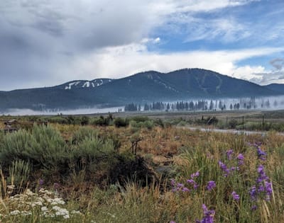
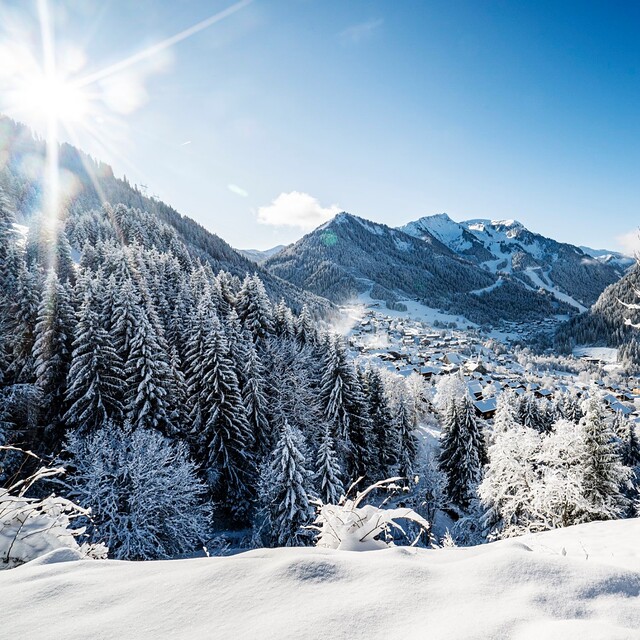
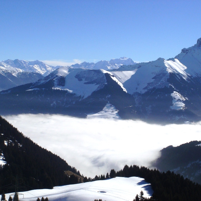
Coldest July Night Hits Glaciers: -12°C and Powder in the Alps
Updated July 30, 2025: Fresh snow dusts Lake Tahoe, Alpine glaciers score up to 40cm (16"), and Scandinavia clings to ski season.
By using Snow-Forecast, you agree to our Terms & Services.
Don't have an account? Join now
Alternatively, you can now use your Outside account to sign in to any brand in the Outside digital ecosystem, including Snow-Forecast, Surf-Forecast, and Mountain-Forecast.


Chatel Weather (Next 3 days): The snow forecast for Chatel is: Lluvia ligera (totál 3.0mm), cayendo mayormente el sábado por la tarde. Muy templado (max 16°C el lunes por la tarde, min 6°C el sábado por la noche). El viento será generalmente ligero.
Chatel Weather (Days 4-6): Lluvia ligera (totál 4.0mm), cayendo mayormente el martes por la noche. Muy templado (max 19°C el jueves por la tarde, min 10°C el martes por la noche). El viento será generalmente ligero.
| Estación | Profundidad de Nieve | Temp. (°C) | Viento (km/h) | Tiempo | ||
|---|---|---|---|---|---|---|
| Remonte de arriba: | 6 | |||||
| Remonte de la mitad: | 10 | |||||
| Remonte de abajo: | 15 |
Ultimo parte de nieve cerca Chatel:
Light rain reported from Sion at 339 metres elevation 5 kms WNW of Thyon-Printze but it is forecast cold enough for snow at higher elevations in the ski area desde Thyon-Printze
Drizzle reported from Sion at 339 metres elevation 5 kms WNW of Thyon-Printze but it is forecast cold enough for snow at higher elevations in the ski area desde Thyon-Printze

Sat 2 | Sunday 3 | Monday 4 | Tuesday 5 | Wednesday 6 | Thursday 7 | Friday 8 | ||||||||||||||
tarde | noche | mañana | tarde | noche | mañana | tarde | noche | mañana | tarde | noche | mañana | tarde | noche | mañana | tarde | noche | mañana | tarde | noche | |
chuba scos | chuba scos | claro | semi nublado | semi nublado | semi nublado | semi nublado | claro | claro | chuba scos | chuba scos | nubl ado | nubl ado | claro | claro | claro | claro | claro | semi nublado | semi nublado | |
km/h | ||||||||||||||||||||
Snow map |  |  |  |  |  |  |  | |||||||||||||
cm | — | — | — | — | — | — | — | — | — | — | — | — | — | — | — | — | — | — | — | — |
mm | 1 | 2 | — | — | — | — | — | — | — | 1 | 3 | — | — | — | — | — | — | — | — | — |
max°C | 11 | 8 | 9 | 12 | 10 | 12 | 16 | 15 | 16 | 17 | 13 | 12 | 14 | 13 | 16 | 19 | 18 | 19 | 22 | 20 |
min°C | 10 | 6 | 6 | 11 | 9 | 10 | 15 | 14 | 14 | 16 | 10 | 10 | 13 | 12 | 13 | 19 | 17 | 17 | 21 | 18 |
chill°C | 9 | 6 | 5 | 10 | 8 | 10 | 15 | 14 | 14 | 16 | 10 | 10 | 13 | 12 | 13 | 19 | 17 | 17 | 21 | 18 |
Humed.% | 55 | 86 | 68 | 60 | 79 | 53 | 55 | 59 | 53 | 62 | 86 | 71 | 57 | 64 | 42 | 41 | 46 | 45 | 40 | 54 |
Altura de Hielo (m) | 2900 | 2800 | 3200 | 3200 | 3800 | 4000 | 4200 | 4450 | 4300 | 3950 | 3850 | 4200 | 4150 | 4400 | 4500 | 4550 | 4550 | 4500 | 4550 | 4400 |
— | — | 6:15 | — | — | 6:16 | — | — | 6:18 | — | — | 6:18 | — | — | 6:20 | — | — | 6:20 | — | — | |
— | 9:01 | — | — | 9:00 | — | — | 8:59 | — | — | 8:58 | — | — | 8:55 | — | — | 8:54 | — | — | 8:52 | |
Lluvia ligera (totál 3.0mm), cayendo mayormente el sábado por la tarde. Muy templado (max 16°C el lunes por la tarde, min 6°C el sábado por la noche). El viento será generalmente ligero.
Lluvia ligera (totál 4.0mm), cayendo mayormente el martes por la noche. Muy templado (max 19°C el jueves por la tarde, min 10°C el martes por la noche). El viento será generalmente ligero.
Ultimo parte de nieve cerca Chatel:
Light rain reported from Sion at 339 metres elevation 5 kms WNW of Thyon-Printze but it is forecast cold enough for snow at higher elevations in the ski area desde Thyon-Printze
Drizzle reported from Sion at 339 metres elevation 5 kms WNW of Thyon-Printze but it is forecast cold enough for snow at higher elevations in the ski area desde Thyon-Printze
| Profundidad de nieve arriba: | — |
|---|---|
| Profundidad de nieve abajo: | — |
| Profundidad de la nevada fresca: | — |
| Última nevada: | 22 May 2025 |
0.0 | Dias de Nieve en Polvo Nieve fresca, mayormente soleado, viento suave. |
|---|---|
0.0 | Dias de nieve en polvo Nieve fresca, sol limitado, sin viento. |
0.0 | Dia perfecto para esquiar Nieve promedio, mayormente soleado, viento suave. |

La tabla anterior muestra el pronóstico de tiempo para Chatel en la altitud específica de 1701 m. Nuestros modelos meteorológicos sofisticados permiten prever pronósticos para la cumbre, la mitad y la base de Chatel. Para aceder a los pronósticos de tiempo a otras alturas, pinche en la navegación en la parte superior de la tabla. Para una visión general, consulte el Mapa meteorológico de France.
Pinche aquí para más información sobre niveles de congelación y sobre cómo pronosticamos las temperaturas.
Generalmente 4.4 En base a 58 votos y 66 comentarios
Bij uitstek het skigebied voor lange tochten en veel afwisseling. Chatel ligt in het hart van het gebied, waardoor je makkelijk in Zwitserland en Avoriaz komt. De Apres ski is gemoedelijk en gezellig, niet uitbundig met hollandse hits, maar dat is wat mij betreft een pluspunt. De barretjes, winkels en zeker ook de restaurants zijn van goed niveau. Mooi prijsniveau en van lokaal tot Italiaans etc. Zowel op de pistes (wel reserveren), als in het dorp (ook daar beter reserveren. Wij komen er zeker terug!
B de Netherlands escribe:
Bij uitstek het skigebied voor lange tochten en veel afwisseling. Chatel ligt in het hart van het gebied, waardoor je makkelijk in Zwitserland en Avoriaz komt. De Apres ski is gemoedelijk en gezellig, niet uitbundig met hollandse hits, maar dat is wat mij betreft een pluspunt. De barretjes, winkels en zeker ook de restaurants zijn van goed niveau. Mooi prijsniveau en van lokaal tot Italiaans etc. Zowel op de pistes (wel reserveren), als in het dorp (ook daar beter reserveren. Wij komen er zeker terug!
Lea 65 otras críticas de Chatel o entrega su propio comentario
El widget del tiempo para esquiar para Chatel está disponible para ser empotrado en sitios web externos sin costo alguno. Proporciona un resumen diario de nuestro pronóstico de nieve en Chatel y estados de tiempo actuales. Vaya simplemente a la página para su configuración y siga los 3 pasos sencillos. Tome el código de transferencia del hipertexto y péguelo en su propio sitio web. Puede escoger la elevación en el pronóstico de nieve (cumbre, ascensor de medio-montaña o fondo) y unidades métrico/imperiales para el motor del pronóstico de nieve y convenir su propio website…. Click aquí para obtener el código
Panorama detallado del Pronóstico de Nieve para Chatel en:
snow-forecast.com


 Nearest