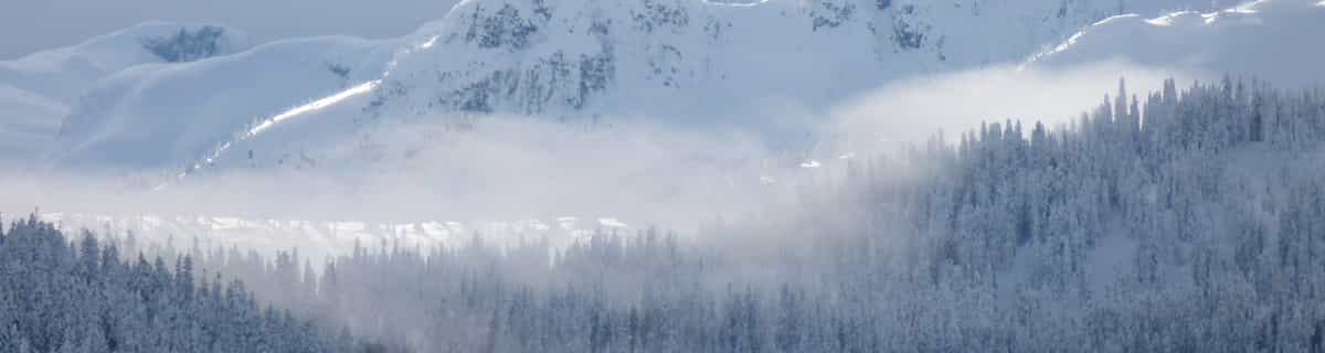


Portillo Storm Snowfall Total Passes 5m / 17 Feet
A snow storm that has now continued for nine days has taken Chilean ski resort Portillo to a snowfall total of 5.2 metres (17 feet) so far, with more snow forecast.

Next 4 days weather summary:Lluvia moderada (totál 13.0mm), más pesada el sábado por la tarde. Cálido (max 23°C el viernes por la tarde, min 14°C el viernes por la noche). El viento será generalmente ligero. | Días 5-7 Resúmen del Tiempo para BerchtesgadenFuerte lluvia (totál 32.0mm), más pesada durante la tarde de martes. Cálido (max 21°C el lunes por la tarde, min 12°C el martes por la tarde). El viento será generalmente ligero. | |||||||||||||||
jueves 30 | viernes 31 | sábado 1 | domingo 2 | lunes 3 | ||||||||||||
noche | mañana | tarde | noche | mañana | tarde | noche | mañana | tarde | noche | mañana | tarde | noche | mañana | tarde | noche | |
chuba scos | claro | claro | claro | semi nublado | claro | chuba scos | semi nublado | riesgo truenos | chuba scos | claro | semi nublado | semi nublado | claro | semi nublado | chuba scos | |
km/h | ||||||||||||||||
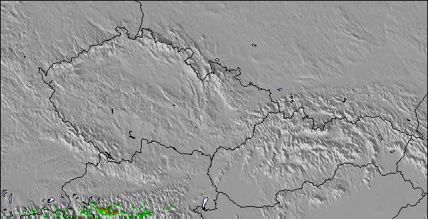
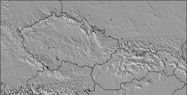
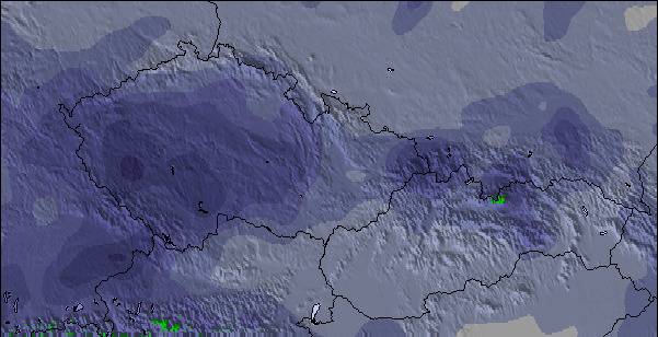
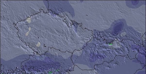
Mapa de Nieve | 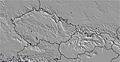 | 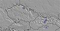 | 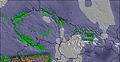 |  |  |  | ||||||||||
— | — | — | — | — | — | — | — | — | — | — | — | — | — | — | — | |
mm | 1 | — | — | — | — | — | 2 | — | 10 | 10 | — | — | — | — | — | 1 |
max °C | 19 | 20 | 22 | 21 | 22 | 23 | 20 | 18 | 18 | 15 | 18 | 20 | 20 | 20 | 21 | 18 |
min °C | 18 | 18 | 21 | 18 | 19 | 21 | 14 | 17 | 16 | 14 | 16 | 20 | 18 | 18 | 20 | 15 |
chill °C | 18 | 18 | 21 | 18 | 19 | 21 | 13 | 17 | 16 | 14 | 16 | 20 | 18 | 18 | 20 | 15 |
Humed. % | 55 | 41 | 40 | 44 | 35 | 45 | 66 | 49 | 79 | 64 | 48 | 54 | 57 | 43 | 49 | 55 |
Altura de Hielo m | 4300 | 4250 | 4550 | 4500 | 4600 | 4700 | 4450 | 4400 | 4300 | 4350 | 4500 | 4500 | 4500 | 4500 | 4550 | 4500 |
— | 5:41 | — | — | 5:43 | — | — | 5:43 | — | — | 5:45 | — | — | 5:47 | — | — | |
— | — | — | 8:45 | — | — | 8:44 | — | — | 8:43 | — | — | 8:42 | — | — | 8:39 | |
Hazte pro y carve en:
Información de avalanchas: European Avalanche Warning Services (EAWS)
Ultimo parte de nieve cerca Berchtesgaden:
| Profundidad de nieve arriba: | 0 cm |
|---|---|
| Profundidad de nieve abajo: | 0 cm |
| Profundidad de la nevada fresca: | — |
| Última nevada: | 16 May 2026 |
0.0 | Dias de Nieve en Polvo Nieve fresca, mayormente soleado, viento suave. |
|---|---|
0.0 | Dias de nieve en polvo Nieve fresca, sol limitado, sin viento. |
0.0 | Dia perfecto para esquiar Nieve promedio, mayormente soleado, viento suave. |
La tabla anterior muestra el pronóstico de tiempo para Berchtesgaden en la altitud específica de 1800 m. Nuestros modelos meteorológicos sofisticados permiten prever pronósticos para la cumbre, la mitad y la base de Berchtesgaden. Para aceder a los pronósticos de tiempo a otras alturas, pinche en la navegación en la parte superior de la tabla. Para una visión general, consulte el Mapa meteorológico de Germany.
Pinche aquí para más información sobre niveles de congelación y sobre cómo pronosticamos las temperaturas.
Generalmente 4.0 En base a 11 votos y 2 comentarios
One of the best resorts in Germany! (maybe the Alps). When me and my family went to Berchtesgaden in February I was looking forward to the holiday but it surpassed even my expectations! I realised when I got there many people and websites had common misconception about Berchtesgaden, thinking it was mainly a cross-country ski resort. Well, you would be very wrong. I realised that although many websites state that there are only a few lifts, that is only one of the areas in the resort. There are 5 main areas in the resort (Jenner, Rossfeld, Hochschwarzeck, Gotschen (world cup area) and Gutshof/Obersalzburg ) all of these equal a huge ski area which has an incredible 30 lifts! Yes, they may not be linked but still are within 20 mins drive of each other. This means it rivals even Garmisch (24 lifts) in size. Although people may say the skiing is low altitude and therefore bad snow this is simply not true. nearly all the slopes are north facing and when we were there in February there was not a worry of too little snow but too much, having, when we got there, 3 metres of snow on the ground making great powder conditions! This is because Berchtesgaden is more inland than many alpine resorts so does not get as much warm Mediterranean blasts in a bad season. So next time when thinking of a ski resort in the Alps, think Berchtesgaden for a great family holiday for skiers and non-skiers alike for a great time to rival even mighty resorts like Val d'Isere and St Anton!
will de United Kingdom escribe:
One of the best resorts in Germany! (maybe the Alps). When me and my family went to Berchtesgaden in February I was looking forward to the holiday but it surpassed even my expectations! I realised when I got there many people and websites had common misconception about Berchtesgaden, thinking it was mainly a cross-country ski resort. Well, you would be very wrong. I realised that although many websites state that there are only a few lifts, that is only one of the areas in the resort. There are 5 main areas in the resort (Jenner, Rossfeld, Hochschwarzeck, Gotschen (world cup area) and Gutshof/Obersalzburg ) all of these equal a huge ski area which has an incredible 30 lifts! Yes, they may not be linked but still are within 20 mins drive of each other. This means it rivals even Garmisch (24 lifts) in size. Although people may say the skiing is low altitude and therefore bad snow this is simply not true. nearly all the slopes are north facing and when we were there in February there was not a worry of too little snow but too much, having, when we got there, 3 metres of snow on the ground making great powder conditions! This is because Berchtesgaden is more inland than many alpine resorts so does not get as much warm Mediterranean blasts in a bad season. So next time when thinking of a ski resort in the Alps, think Berchtesgaden for a great family holiday for skiers and non-skiers alike for a great time to rival even mighty resorts like Val d'Isere and St Anton!
Lea 1 otras críticas de Berchtesgaden o entrega su propio comentario

 Nearest