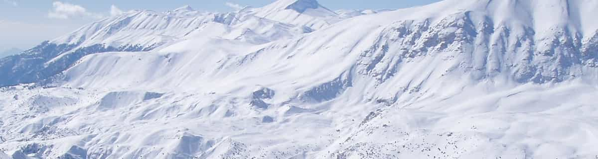


Portillo Storm Snowfall Total Passes 5m / 17 Feet
A snow storm that has now continued for nine days has taken Chilean ski resort Portillo to a snowfall total of 5.2 metres (17 feet) so far, with more snow forecast.

Next 3 days weather summary:Lluvia moderada (totál 16.0mm), más pesada el domingo por la tarde. Cálido (max 26°C el martes por la tarde, min 15°C el domingo por la noche). El viento será generalmente ligero. | Días 4-6 Resúmen del Tiempo para LungötzFuerte lluvia (totál 21.0mm), más pesada durante la tarde de miércoles. Cálido (max 32°C el viernes por la tarde, min 19°C el miércoles por la noche). El viento será generalmente ligero. | |||||||||||||||||
domingo 26 | lunes 27 | martes 28 | miércoles 29 | jueves 30 | viernes 31 | |||||||||||||
mañana | tarde | noche | mañana | tarde | noche | mañana | tarde | noche | mañana | tarde | noche | mañana | tarde | noche | mañana | tarde | noche | |
riesgo truenos | lluvia mod. | chuba scos | claro | chuba scos | chuba scos | claro | claro | claro | claro | fuerte lluvia | chuba scos | claro | semi nublado | claro | claro | semi nublado | chuba scos | |
km/h | ||||||||||||||||||
Mapa de Nieve |  |  |  |  |  |  | ||||||||||||
— | — | — | — | — | — | — | — | — | — | — | — | — | — | — | — | — | — | |
mm | 2 | 6 | 4 | — | 2 | 2 | — | — | — | — | 16 | 2 | — | — | — | — | — | 3 |
max °C | 20 | 18 | 17 | 19 | 22 | 19 | 21 | 26 | 22 | 26 | 29 | 20 | 28 | 30 | 27 | 30 | 32 | 27 |
min °C | 19 | 17 | 15 | 17 | 21 | 15 | 17 | 25 | 19 | 22 | 20 | 19 | 23 | 30 | 23 | 25 | 31 | 19 |
chill °C | 19 | 17 | 15 | 17 | 21 | 15 | 17 | 25 | 19 | 22 | 20 | 19 | 23 | 30 | 23 | 25 | 31 | 19 |
Humed. % | 73 | 91 | 85 | 70 | 60 | 83 | 53 | 42 | 79 | 52 | 92 | 69 | 38 | 28 | 43 | 30 | 34 | 94 |
Altura de Hielo m | 3700 | 3650 | 3450 | 3650 | 3800 | 3800 | 4150 | 4400 | 4550 | 4450 | 4300 | 4400 | 4300 | 4500 | 4600 | 4600 | 4700 | 4550 |
5:37 | — | — | 5:37 | — | — | 5:39 | — | — | 5:39 | — | — | 5:41 | — | — | 5:43 | — | — | |
— | — | 8:49 | — | — | 8:46 | — | — | 8:45 | — | — | 8:45 | — | — | 8:44 | — | — | 8:42 | |
Hazte pro y carve en:
Información de avalanchas: European Avalanche Warning Services (EAWS)
Ultimo parte de nieve cerca Lungötz:
| Profundidad de nieve arriba: | — |
|---|---|
| Profundidad de nieve abajo: | — |
| Profundidad de la nevada fresca: | — |
| Última nevada: | 31 Mar 2026 |
0.0 | Dias de Nieve en Polvo Nieve fresca, mayormente soleado, viento suave. |
|---|---|
0.0 | Dias de nieve en polvo Nieve fresca, sol limitado, sin viento. |
0.0 | Dia perfecto para esquiar Nieve promedio, mayormente soleado, viento suave. |
La tabla anterior muestra el pronóstico de tiempo para Lungötz en la altitud específica de 814 m. Nuestros modelos meteorológicos sofisticados permiten prever pronósticos para la cumbre, la mitad y la base de Lungötz. Para aceder a los pronósticos de tiempo a otras alturas, pinche en la navegación en la parte superior de la tabla. Para una visión general, consulte el Mapa meteorológico de Austria.
Pinche aquí para más información sobre niveles de congelación y sobre cómo pronosticamos las temperaturas.
Nombre de la estación también escrito como Lungotz.
Annaberg (Annaberg-Lungötz) is a quaint village adjoined to the Dachstein West Ski Region which has over 140 km of groomed slopes connecting it to the villages of Russbach & Gosau. The ski area is quite stunning with views of the Hoher Dachstein, at 3004m, and it's glacier and lake below. It has a new ski school and slopes to suit people of all abilities. A family friendly resort which offers some superb off-piste, border parks & 130km of cross-country ski trails. This ski area is a hidden gem to which many visitors return year after year.
Louise Dunn de Austria escribe:
Annaberg (Annaberg-Lungötz) is a quaint village adjoined to the Dachstein West Ski Region which has over 140 km of groomed slopes connecting it to the villages of Russbach & Gosau. The ski area is quite stunning with views of the Hoher Dachstein, at 3004m, and it's glacier and lake below. It has a new ski school and slopes to suit people of all abilities. A family friendly resort which offers some superb off-piste, border parks & 130km of cross-country ski trails. This ski area is a hidden gem to which many visitors return year after year.


 Nearest