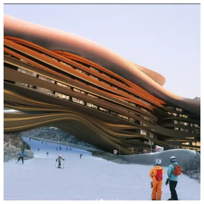
Future Of Saudi Arabia's Ski Resort Development Unclear
The status of a planned year-round outdoor ski area in Saudi Arabia is currently uncertain, and not just because of the current war in the region.


Alpe d'Huez Weather (Next 3 days): The snow forecast for Alpe d'Huez is: Mayormente seco. Muy templado (max 17°C el martes por la tarde, min 8°C el lunes por la mañana). El viento será generalmente ligero.
Alpe d'Huez Weather (Days 4-6): Mayormente seco. Cálido (max 20°C el sábado por la tarde, min 9°C el jueves por la noche). El viento será generalmente ligero.
| Estación | Profundidad de Nieve | Temp. (°C) | Viento (km/h) | Tiempo | ||
|---|---|---|---|---|---|---|
| Remonte de arriba: | 3.0 m | -3 | ||||
| Remonte de la mitad: | 3 | |||||
| Remonte de abajo: | 1.8 m | 8 |

Monday 6 | Tuesday 7 | Wednesday 8 | Thursday 9 | Friday 10 | Saturday 11 | |||||||||||||
mañana | tarde | noche | mañana | tarde | noche | mañana | tarde | noche | mañana | tarde | noche | mañana | tarde | noche | mañana | tarde | noche | |
claro | claro | claro | claro | semi nublado | claro | claro | claro | claro | claro | claro | claro | claro | claro | claro | claro | claro | semi nublado | |
km/h | ||||||||||||||||||
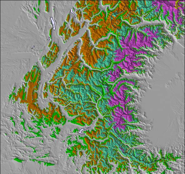
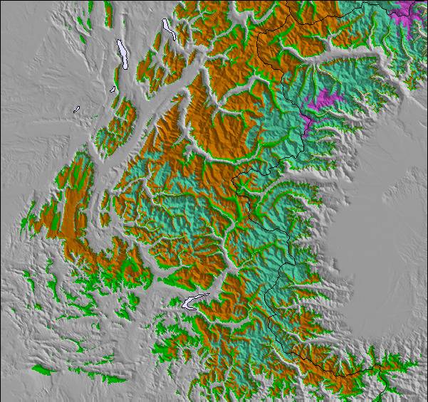
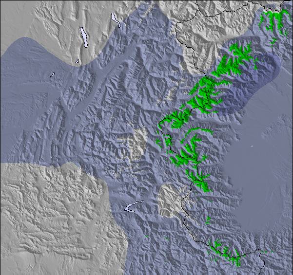
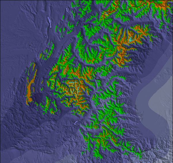
Snow map |  |  |  |  |  |  | ||||||||||||
— | — | — | — | — | — | — | — | — | — | — | — | — | — | — | — | — | — | |
— | — | — | — | — | — | — | — | — | — | — | — | — | — | — | — | — | — | |
max °C | 14 | 16 | 12 | 15 | 17 | 13 | 15 | 17 | 13 | 16 | 18 | 12 | 16 | 19 | 14 | 17 | 20 | 15 |
min °C | 8 | 16 | 9 | 9 | 17 | 9 | 10 | 17 | 9 | 10 | 17 | 9 | 10 | 19 | 10 | 10 | 19 | 10 |
8 | 16 | 9 | 9 | 17 | 9 | 10 | 17 | 8 | 10 | 17 | 9 | 10 | 19 | 10 | 10 | 19 | 10 | |
60 | 47 | 67 | 44 | 41 | 71 | 52 | 52 | 79 | 47 | 42 | 46 | 29 | 28 | 64 | 36 | 28 | 74 | |
3000 | 3000 | 3000 | 3100 | 3050 | 3200 | 3350 | 3250 | 3550 | 3450 | 3450 | 3550 | 3600 | 3500 | 3600 | 3650 | 3500 | 3250 | |
7:07 | — | — | 7:05 | — | — | 7:03 | — | — | 7:01 | — | — | 7:01 | — | — | 6:58 | — | — | |
— | — | 8:08 | — | — | 8:09 | — | — | 8:10 | — | — | 8:12 | — | — | 8:14 | — | — | 8:15 | |
Mayormente seco. Muy templado (max 17°C el martes por la tarde, min 8°C el lunes por la mañana). El viento será generalmente ligero.
Mayormente seco. Cálido (max 20°C el sábado por la tarde, min 9°C el jueves por la noche). El viento será generalmente ligero.
Ultimo parte de nieve cerca Alpe d'Huez:
Cloudless skies over Les Deux Alpes. No wind here. Temperatures are around freezing. There is a dusting of fresh snow. Every lift is open. The pistes are wet. Icy crust off-piste. desde Les Deux Alpes
Fantastic skiing on piste. Clear blue skies, all lifts open. desde Val Thorens
| Profundidad de nieve arriba: | 300 cm |
|---|---|
| Profundidad de nieve abajo: | 177 cm |
| Profundidad de la nevada fresca: | — |
| Última nevada: | 31 Mar 2026 |
0.0 | Dias de Nieve en Polvo Nieve fresca, mayormente soleado, viento suave. |
|---|---|
0.1 | Dias de nieve en polvo Nieve fresca, sol limitado, sin viento. |
0.0 | Dia perfecto para esquiar Nieve promedio, mayormente soleado, viento suave. |
La tabla anterior muestra el pronóstico de tiempo para Alpe d'Huez en la altitud específica de 1100 m. Nuestros modelos meteorológicos sofisticados permiten prever pronósticos para la cumbre, la mitad y la base de Alpe d'Huez. Para aceder a los pronósticos de tiempo a otras alturas, pinche en la navegación en la parte superior de la tabla. Para una visión general, consulte el Mapa meteorológico de France.
Pinche aquí para más información sobre niveles de congelación y sobre cómo pronosticamos las temperaturas.
Generalmente 4.0 En base a 82 votos y 110 comentarios
Having read a few of the reviews here of Alpe d'Huez I can say it does depend on your ability level and obviously the snow and weather conditions when you are there. But that is the same as everywhere, in reality. I was there in March about 10 years ago and had a great time. We got a load of fresh and it stayed untracked in many places for days after the event. This cannot be said to be the case in Les 3 V or Tignes/Val. These places have great infrastructure, but those 8 man high speed chairs come at a cost, the entire place can be tracked out by lunch time during the school holidays. Anyway, as another reviewer mentioned there is some excellent Hors Piste available. I liked the Auris area, which was lower down and sheltered from wind, also has trees for those weather days, But up high is really good, you can ski from the top down towards Vaujanay and get well over 1000m vertical off piste all the way. I hired a local EFS instructor for off-piste guiding for the afternoon, after the snow came, and it was excellent. He also thanked me and bought me a beer after because it wasn't your average day at work for him either. He asked what I wanted to ski, I said anything you can and enjoy. Really opened up the area, there are lots of cliff around there, so you cannot afford to wing it as you will end up having to hike back up if you end up that lucky. It is worth spending 160 Euros as I did to get the knowledge. Of course, if you're just there to end up skiing a few blue runs in the sunshine from lunchtime and end up in Folie Douce by 3pm maybe this review won't help you.
Ski Bum de United Kingdom escribe:
Having read a few of the reviews here of Alpe d'Huez I can say it does depend on your ability level and obviously the snow and weather conditions when you are there. But that is the same as everywhere, in reality. I was there in March about 10 years ago and had a great time. We got a load of fresh and it stayed untracked in many places for days after the event. This cannot be said to be the case in Les 3 V or Tignes/Val. These places have great infrastructure, but those 8 man high speed chairs come at a cost, the entire place can be tracked out by lunch time during the school holidays. Anyway, as another reviewer mentioned there is some excellent Hors Piste available. I liked the Auris area, which was lower down and sheltered from wind, also has trees for those weather days, But up high is really good, you can ski from the top down towards Vaujanay and get well over 1000m vertical off piste all the way. I hired a local EFS instructor for off-piste guiding for the afternoon, after the snow came, and it was excellent. He also thanked me and bought me a beer after because it wasn't your average day at work for him either. He asked what I wanted to ski, I said anything you can and enjoy. Really opened up the area, there are lots of cliff around there, so you cannot afford to wing it as you will end up having to hike back up if you end up that lucky. It is worth spending 160 Euros as I did to get the knowledge. Of course, if you're just there to end up skiing a few blue runs in the sunshine from lunchtime and end up in Folie Douce by 3pm maybe this review won't help you.
Lea 109 otras críticas de Alpe d'Huez o entrega su propio comentario

 Nearest